103 W Rim Cove Broken Bow, OK 74728
Estimated Value: $218,000 - $656,000
3
Beds
2
Baths
1,832
Sq Ft
$194/Sq Ft
Est. Value
About This Home
This home is located at 103 W Rim Cove, Broken Bow, OK 74728 and is currently estimated at $354,845, approximately $193 per square foot. 103 W Rim Cove is a home with nearby schools including Dierks Elementary School, Bennett Elementary School, and Rector Johnson Middle School.
Ownership History
Date
Name
Owned For
Owner Type
Purchase Details
Closed on
Oct 21, 2021
Sold by
Brumley Bennie D and Brumley Charleta J
Bought by
Brumley Bennie D
Current Estimated Value
Purchase Details
Closed on
Mar 20, 2021
Sold by
Rae Tate M
Bought by
Brumley Jacob Scott and Brumley Kamilia Deshae
Purchase Details
Closed on
Sep 8, 2016
Sold by
Jeter Jimmy and Jeter Debbie D
Bought by
Brumley Jacob S
Purchase Details
Closed on
Feb 19, 2004
Sold by
Bbow Housing Authority
Bought by
Brumley Bennie D and Brumley Harleta
Create a Home Valuation Report for This Property
The Home Valuation Report is an in-depth analysis detailing your home's value as well as a comparison with similar homes in the area
Home Values in the Area
Average Home Value in this Area
Purchase History
| Date | Buyer | Sale Price | Title Company |
|---|---|---|---|
| Brumley Bennie D | -- | None Listed On Document | |
| Brumley Jacob Scott | $10,000 | None Available | |
| Brumley Jacob S | -- | None Available | |
| Brumley Bennie D | $105,000 | -- |
Source: Public Records
Tax History Compared to Growth
Tax History
| Year | Tax Paid | Tax Assessment Tax Assessment Total Assessment is a certain percentage of the fair market value that is determined by local assessors to be the total taxable value of land and additions on the property. | Land | Improvement |
|---|---|---|---|---|
| 2024 | $985 | $11,812 | $550 | $11,262 |
| 2023 | $922 | $11,250 | $550 | $10,700 |
| 2022 | $879 | $10,714 | $550 | $10,164 |
| 2021 | $864 | $10,714 | $550 | $10,164 |
| 2020 | $889 | $10,943 | $550 | $10,393 |
| 2019 | $903 | $11,057 | $550 | $10,507 |
| 2018 | $932 | $11,285 | $550 | $10,735 |
| 2017 | $958 | $11,514 | $550 | $10,964 |
| 2016 | $972 | $11,587 | $550 | $11,037 |
| 2015 | $995 | $11,587 | $550 | $11,037 |
| 2014 | $1,001 | $11,587 | $550 | $11,037 |
Source: Public Records
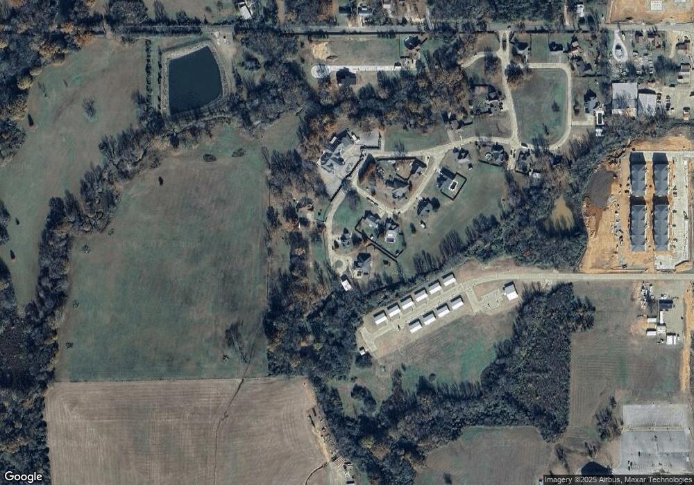
Map
Nearby Homes
- 113 Highmeadow Cir
- 509 Clay St
- 2 Beaver St
- 81 Annie Oak Trail
- 1912 S Park Dr
- 2002 S Park Dr
- 1266 W Memorial St
- 309 E Memorial St
- 707 S Mcclure St
- 67 Carter Creek Ln
- 231 Birch Stone Ln
- 155 Birch Stone Ln
- 72 Green Persimmon Trail
- 129 Alaqua Trail
- 2015 Rodeo Rd
- 13340 Highway 70 E
- 727 Airport Rd
- 250 McGee Chapel Rd
- 408 Wake St
- 185 Marlin Dr
- 124 Homestead Cir
- 126 Homestead Cir
- 105 W Rim Cove
- 106 W Rim Cove
- 113 Homestead Cir
- 100 W Rim Cove
- 130 Homestead Cir
- 115 Homestead Cir
- 253 Yvnnvsh Dr
- 136 Homestead Cir
- 134 Homestead Cir
- 200 Yashau Creek Dr
- 102 Yashau Creek Dr
- 107 Yashau Creek Dr
- 119 High Meadow Cir
- 306 W Memorial St
- 304 W Memorial St
- 300 W Memorial St
- 101 High Meadow Cir
- 301 Hendricks St