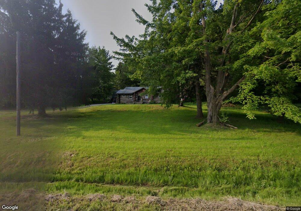
103 W Under Ridge Rd Conneaut, OH 44030
Estimated Value: $154,817 - $266,000
3
Beds
1
Bath
1,352
Sq Ft
$158/Sq Ft
Est. Value
About This Home
This home is located at 103 W Under Ridge Rd, Conneaut, OH 44030 and is currently estimated at $213,704, approximately $158 per square foot. 103 W Under Ridge Rd is a home located in Ashtabula County with nearby schools including Lakeshore Primary Elementary School, Gateway Elementary School, and Conneaut Middle School.
Ownership History
Date
Name
Owned For
Owner Type
Purchase Details
Closed on
Jul 6, 2005
Sold by
Boyd Leslie
Bought by
Boyd William
Current Estimated Value
Home Financials for this Owner
Home Financials are based on the most recent Mortgage that was taken out on this home.
Original Mortgage
$70,400
Outstanding Balance
$46,292
Interest Rate
10%
Mortgage Type
Fannie Mae Freddie Mac
Estimated Equity
$167,412
Purchase Details
Closed on
Jan 3, 2005
Sold by
Boyd Leslie and Boyd William E
Bought by
Boyd William E and Boyd William
Purchase Details
Closed on
Oct 24, 2002
Sold by
Eccleston Howard R
Bought by
Boyd William
Create a Home Valuation Report for This Property
The Home Valuation Report is an in-depth analysis detailing your home's value as well as a comparison with similar homes in the area
Home Values in the Area
Average Home Value in this Area
Purchase History
| Date | Buyer | Sale Price | Title Company |
|---|---|---|---|
| Boyd William | -- | -- | |
| Boyd William E | -- | None Available | |
| Boyd William | $110,500 | -- |
Source: Public Records
Mortgage History
| Date | Status | Borrower | Loan Amount |
|---|---|---|---|
| Open | Boyd William | $70,400 |
Source: Public Records
Tax History Compared to Growth
Tax History
| Year | Tax Paid | Tax Assessment Tax Assessment Total Assessment is a certain percentage of the fair market value that is determined by local assessors to be the total taxable value of land and additions on the property. | Land | Improvement |
|---|---|---|---|---|
| 2024 | $2,543 | $34,760 | $14,700 | $20,060 |
| 2023 | $1,625 | $34,760 | $14,700 | $20,060 |
| 2022 | $1,454 | $27,380 | $11,310 | $16,070 |
| 2021 | $1,497 | $27,380 | $11,310 | $16,070 |
| 2020 | $1,496 | $27,380 | $11,310 | $16,070 |
| 2019 | $1,318 | $32,730 | $7,880 | $24,850 |
| 2018 | $1,257 | $32,730 | $7,880 | $24,850 |
| 2017 | $245 | $32,730 | $7,880 | $24,850 |
| 2016 | $1,105 | $31,750 | $7,630 | $24,120 |
| 2015 | $1,116 | $31,750 | $7,630 | $24,120 |
| 2014 | $2,109 | $31,750 | $7,630 | $24,120 |
| 2013 | $1,012 | $31,820 | $9,420 | $22,400 |
Source: Public Records
Map
Nearby Homes
- 136 W Under Ridge Rd
- 0 Center Rd
- VL Center Rd
- 220 Daniels Ave
- 5581 Hatches Corners Rd
- 0 Hillcrest Ct
- 18 Hillcrest Ct
- 0 Creek Rd Unit 5146859
- 210 W Main Rd
- 5264 Middle Rd
- 0 Dorman Rd
- 855 Spring St Unit S9
- 202 W Main Rd Unit 49
- 202 W Main Rd Unit Lot 150
- 202 W Main Rd Unit 33
- 202 W Main Rd Unit 16
- 40 Oakland Blvd
- 531 W Main Rd
- 247 Whitney St
- 251 St Rt 7
- 610 Horton Rd
- 92 W Under Ridge Rd
- 581 Horton Rd
- 0 Horton V L #2 Rd Unit 3880256
- 155 W Under Ridge Rd
- 60 W Under Ridge Rd
- 0 Horton V L #3 Rd
- 791 Horton Rd
- 180 W Under Ridge Rd
- 686 Horton Rd
- 881 Center Rd
- 710 Horton Rd
- 706 Horton Rd
- 831 Center Rd
- 569 S Parrish Rd
- 871 Center Rd
- 574 S Parrish Rd
- 712 S Parrish Rd
- 838 Center Rd
- 20 E Center St