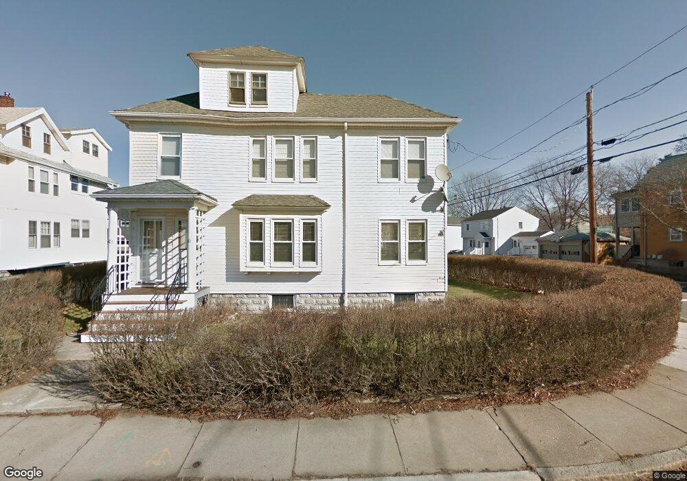
103 Warren St Arlington, MA 02474
Arlington Center NeighborhoodEstimated Value: $758,000 - $804,084
2
Beds
2
Baths
1,263
Sq Ft
$616/Sq Ft
Est. Value
About This Home
This home is located at 103 Warren St, Arlington, MA 02474 and is currently estimated at $778,021, approximately $616 per square foot. 103 Warren St is a home located in Middlesex County with nearby schools including Thompson School, Ottoson Middle School, and Arlington High School.
Ownership History
Date
Name
Owned For
Owner Type
Purchase Details
Closed on
Oct 26, 2007
Sold by
Omeara Michael
Bought by
Chiavetta Judith A
Current Estimated Value
Home Financials for this Owner
Home Financials are based on the most recent Mortgage that was taken out on this home.
Original Mortgage
$220,000
Outstanding Balance
$139,268
Interest Rate
6.39%
Mortgage Type
Purchase Money Mortgage
Estimated Equity
$638,753
Create a Home Valuation Report for This Property
The Home Valuation Report is an in-depth analysis detailing your home's value as well as a comparison with similar homes in the area
Home Values in the Area
Average Home Value in this Area
Purchase History
| Date | Buyer | Sale Price | Title Company |
|---|---|---|---|
| Chiavetta Judith A | $355,000 | -- |
Source: Public Records
Mortgage History
| Date | Status | Borrower | Loan Amount |
|---|---|---|---|
| Open | Chiavetta Judith A | $220,000 |
Source: Public Records
Tax History Compared to Growth
Tax History
| Year | Tax Paid | Tax Assessment Tax Assessment Total Assessment is a certain percentage of the fair market value that is determined by local assessors to be the total taxable value of land and additions on the property. | Land | Improvement |
|---|---|---|---|---|
| 2025 | $6,348 | $589,400 | $0 | $589,400 |
| 2024 | $6,083 | $574,400 | $0 | $574,400 |
| 2023 | $6,225 | $555,300 | $0 | $555,300 |
| 2022 | $5,327 | $466,500 | $0 | $466,500 |
| 2021 | $5,136 | $452,900 | $0 | $452,900 |
| 2020 | $6,174 | $558,200 | $0 | $558,200 |
| 2019 | $5,597 | $497,100 | $0 | $497,100 |
| 2018 | $5,336 | $439,900 | $0 | $439,900 |
| 2017 | $5,038 | $401,100 | $0 | $401,100 |
| 2016 | $5,134 | $401,100 | $0 | $401,100 |
| 2015 | $5,024 | $370,800 | $0 | $370,800 |
Source: Public Records
Map
Nearby Homes
- 41 Palmer St Unit 43
- 94 Rawson Rd Unit 94
- 42-44 Warren St Unit 42
- 29 Dartmouth St Unit 29
- 25-27 Adams St
- 132 Rawson Rd Unit 132
- 167 Franklin St Unit 167
- 69 Arlington St
- 23 Yale Rd
- 18 Belknap St Unit 2
- 18 Belknap St Unit 1
- 97 Mystic St Unit B
- 34 Hamilton Rd Unit 302
- 0 Jerome St Unit 72734260
- 31 Sharon St
- 7 Court Street Place Unit 7
- 22 Hamilton Rd Unit 206
- 6 Gordon Rd
- 3 Victoria Rd Unit 3
- 3 Victoria Rd Unit 5
- 101 Warren St
- 103 Warren St Unit 2
- 101 Warren St
- 101 Warren St Unit 1
- 105 Warren St Unit 107
- 107 Warren St Unit 2
- 105-107 Warren St
- 86 Palmer St
- 84 Palmer St Unit 86
- 72 Palmer St
- 72 Palmer St Unit 1
- 70 Palmer St
- 70 Palmer St Unit 72
- 109 Warren St
- 108 Warren St Unit 1
- 97 Warren St Unit 99
- 88 Palmer St Unit 90
- 90 Palmer St
- 88 Palmer St Unit 1
- 90 Palmer St Unit 2