103 Wickham Rd East Haddam, CT 06423
Estimated Value: $421,000 - $558,000
4
Beds
3
Baths
1,802
Sq Ft
$264/Sq Ft
Est. Value
About This Home
This home is located at 103 Wickham Rd, East Haddam, CT 06423 and is currently estimated at $476,437, approximately $264 per square foot. 103 Wickham Rd is a home located in Middlesex County with nearby schools including East Haddam Elementary School, Nathan Hale-Ray Middle School, and Nathan Hale-Ray High School.
Ownership History
Date
Name
Owned For
Owner Type
Purchase Details
Closed on
Aug 12, 2021
Sold by
Parker Roy J and Parker Cindy J
Bought by
Parker T
Current Estimated Value
Purchase Details
Closed on
Dec 19, 1989
Sold by
Goodspeed Scott D
Bought by
Farrell Maryann
Create a Home Valuation Report for This Property
The Home Valuation Report is an in-depth analysis detailing your home's value as well as a comparison with similar homes in the area
Home Values in the Area
Average Home Value in this Area
Purchase History
| Date | Buyer | Sale Price | Title Company |
|---|---|---|---|
| Parker T | -- | None Available | |
| Farrell Maryann | $240,000 | -- |
Source: Public Records
Mortgage History
| Date | Status | Borrower | Loan Amount |
|---|---|---|---|
| Previous Owner | Farrell Maryann | $100,000 | |
| Previous Owner | Farrell Maryann | $50,000 | |
| Previous Owner | Farrell Maryann | $142,000 | |
| Previous Owner | Farrell Maryann | $20,600 |
Source: Public Records
Tax History Compared to Growth
Tax History
| Year | Tax Paid | Tax Assessment Tax Assessment Total Assessment is a certain percentage of the fair market value that is determined by local assessors to be the total taxable value of land and additions on the property. | Land | Improvement |
|---|---|---|---|---|
| 2025 | $6,610 | $235,570 | $89,620 | $145,950 |
| 2024 | $6,304 | $235,570 | $89,620 | $145,950 |
| 2023 | $6,066 | $235,570 | $89,620 | $145,950 |
| 2022 | $5,660 | $178,030 | $65,820 | $112,210 |
| 2021 | $5,419 | $178,030 | $65,820 | $112,210 |
| 2020 | $5,396 | $177,260 | $65,820 | $111,440 |
| 2019 | $5,396 | $177,260 | $65,820 | $111,440 |
| 2018 | $5,258 | $177,260 | $65,820 | $111,440 |
| 2017 | $5,460 | $184,600 | $75,960 | $108,640 |
| 2016 | $5,418 | $184,600 | $75,960 | $108,640 |
| 2015 | $5,294 | $184,600 | $75,960 | $108,640 |
| 2014 | $5,150 | $184,590 | $75,950 | $108,640 |
Source: Public Records
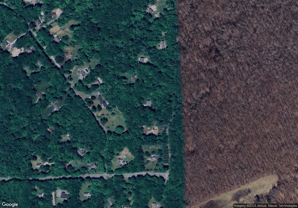
Map
Nearby Homes
- 112 Schulman Veslak Rd
- 63 Schulman Veslak Rd
- 23 Olmstead Rd
- 21 Olmstead Rd
- 114 Lakeside Dr
- 0 Lakeside Dr
- 206 Sheepskin Hollow Rd
- 331 Tater Hill Rd
- 8 Tom Rd
- 317 Tater Hill Rd
- 42 Dogwood Rd
- 73 Lake Shore Dr
- 90 Lake Shore Dr
- 129 Salem Rd
- 53 Falls Bashan Rd
- 0 Hopyard Rd Unit 24103236
- 19 Esther Ln
- 154 Falls Rd
- 79 Mill Lane Rd
- 53 Shanaghans Rd