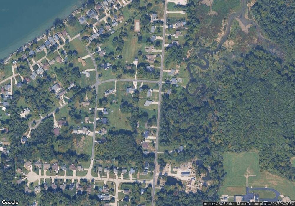
1030 Dock Rd Madison, OH 44057
Estimated Value: $254,000 - $304,000
2
Beds
2
Baths
1,532
Sq Ft
$181/Sq Ft
Est. Value
About This Home
This home is located at 1030 Dock Rd, Madison, OH 44057 and is currently estimated at $276,776, approximately $180 per square foot. 1030 Dock Rd is a home with nearby schools including North Elementary School, Madison Middle School, and Madison High School.
Ownership History
Date
Name
Owned For
Owner Type
Purchase Details
Closed on
Oct 15, 2020
Sold by
Peskar David and Peskar Wendy
Bought by
Beavan Alexander W and Beavan Deidre A
Current Estimated Value
Purchase Details
Closed on
Oct 15, 2004
Sold by
Eland Bart and Eland Vivian G
Bought by
Peskar David and Peskar Wendy
Purchase Details
Closed on
Nov 7, 2000
Sold by
Sullivan Robert A
Bought by
Eland Bart and Eland Vivian G
Purchase Details
Closed on
Jul 20, 1972
Bought by
Sullivan Robert A
Create a Home Valuation Report for This Property
The Home Valuation Report is an in-depth analysis detailing your home's value as well as a comparison with similar homes in the area
Home Values in the Area
Average Home Value in this Area
Purchase History
| Date | Buyer | Sale Price | Title Company |
|---|---|---|---|
| Beavan Alexander W | $281,500 | None Available | |
| Peskar David | $19,000 | Standard Title Agency Inc | |
| Eland Bart | $16,000 | Chicago Title | |
| Sullivan Robert A | -- | -- |
Source: Public Records
Tax History
| Year | Tax Paid | Tax Assessment Tax Assessment Total Assessment is a certain percentage of the fair market value that is determined by local assessors to be the total taxable value of land and additions on the property. | Land | Improvement |
|---|---|---|---|---|
| 2025 | -- | $85,490 | $17,840 | $67,650 |
| 2024 | -- | $85,490 | $17,840 | $67,650 |
| 2023 | $7,160 | $64,420 | $10,270 | $54,150 |
| 2022 | $499 | $64,420 | $10,270 | $54,150 |
| 2021 | $498 | $7,910 | $7,910 | $0 |
| 2020 | $487 | $6,820 | $6,820 | $0 |
| 2019 | $487 | $6,820 | $6,820 | $0 |
| 2018 | $472 | $6,820 | $6,820 | $0 |
| 2017 | $486 | $6,820 | $6,820 | $0 |
| 2016 | $442 | $6,820 | $6,820 | $0 |
| 2015 | $419 | $6,820 | $6,820 | $0 |
| 2014 | $429 | $6,820 | $6,820 | $0 |
| 2013 | $430 | $6,820 | $6,820 | $0 |
Source: Public Records
Map
Nearby Homes
- 1073 Ashview Dr
- V/L 21 Norton Dr
- V/L 11 Norton Dr
- V/L 20 Norton Dr
- V/L 10 Norton Dr
- 32 Eddy Rd
- 153 Marilyn Dr
- 20 Eddie Rd
- 50 Eddie Rd
- 1180 N County Line Rd
- 7561 Lake Rd
- 4699 Lake Rd E Unit 205
- 4699 Lake Rd E Unit 401
- 1180 Hearn Dr
- 7084 Lake Rd E
- 1260 Bennett Rd
- 4165 Wheeler Creek Rd
- 1478 Bennett Rd
- 1403 Dorchester Dr
- 3764 Padanarum Rd
Your Personal Tour Guide
Ask me questions while you tour the home.
