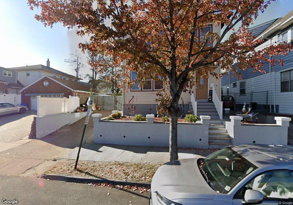
1030 E 25th St Unit 1032 Paterson, NJ 07513
Eastside NeighborhoodEstimated Value: $699,913 - $893,000
--
Bed
--
Bath
2,920
Sq Ft
$263/Sq Ft
Est. Value
About This Home
This home is located at 1030 E 25th St Unit 1032, Paterson, NJ 07513 and is currently estimated at $768,978, approximately $263 per square foot. 1030 E 25th St Unit 1032 is a home located in Passaic County with nearby schools including Dale Avenue Elementary School, Edward W. Kilpatrick School of Discovery, and Paterson Public School No. 3.
Ownership History
Date
Name
Owned For
Owner Type
Purchase Details
Closed on
Nov 8, 2005
Sold by
Contreras Martin E
Bought by
Contreras Martin E and Fernandez Maria
Current Estimated Value
Home Financials for this Owner
Home Financials are based on the most recent Mortgage that was taken out on this home.
Original Mortgage
$210,112
Interest Rate
6.06%
Mortgage Type
New Conventional
Create a Home Valuation Report for This Property
The Home Valuation Report is an in-depth analysis detailing your home's value as well as a comparison with similar homes in the area
Home Values in the Area
Average Home Value in this Area
Purchase History
| Date | Buyer | Sale Price | Title Company |
|---|---|---|---|
| Contreras Martin E | -- | -- |
Source: Public Records
Mortgage History
| Date | Status | Borrower | Loan Amount |
|---|---|---|---|
| Closed | Contreras Martin E | $210,112 |
Source: Public Records
Tax History Compared to Growth
Tax History
| Year | Tax Paid | Tax Assessment Tax Assessment Total Assessment is a certain percentage of the fair market value that is determined by local assessors to be the total taxable value of land and additions on the property. | Land | Improvement |
|---|---|---|---|---|
| 2025 | $15,331 | $300,900 | $60,100 | $240,800 |
| 2024 | $14,753 | $300,900 | $60,100 | $240,800 |
| 2022 | $13,968 | $300,900 | $60,100 | $240,800 |
| 2021 | $13,468 | $300,900 | $60,100 | $240,800 |
| 2020 | $12,563 | $300,900 | $60,100 | $240,800 |
| 2019 | $12,162 | $294,200 | $59,000 | $235,200 |
| 2018 | $11,494 | $265,700 | $58,400 | $207,300 |
| 2017 | $10,966 | $263,600 | $58,000 | $205,600 |
| 2016 | $11,642 | $268,300 | $51,000 | $217,300 |
| 2015 | $11,022 | $268,300 | $51,000 | $217,300 |
| 2014 | $11,351 | $391,400 | $123,800 | $267,600 |
Source: Public Records
Map
Nearby Homes
- 102 22nd Ave Unit 104
- 495 21st Ave
- 1048 E 22nd St
- 1026-1028 E 22nd St
- 960 E 24th St
- 414 21st Ave
- 156 Kentucky Ave Unit 158
- 248 22nd Ave
- 693 E 31st St Unit 695
- 693-695 E 31st St
- 652 E 32nd St Unit 654
- 652 654e32nd St
- 911 Madison Ave Unit 7
- 92 Lewis St
- 150 Martin St
- 879 Madison Ave
- 880 E 19th St Unit 882
- 57 18th Ave
- 777 E 26th St
- 29 Dover St
- 1026 E 25th St Unit 1028
- 1024 E 25th St Unit 1026
- 109-111 22nd Ave
- 113 22nd Ave Unit 115
- 113-115 22nd Ave
- 1051 E 24th St
- 1047 E 24th St
- 109 22nd Ave Unit 111
- 105-107 22nd Ave
- 105 22nd Ave Unit 107
- 1025 E 25th St Unit 1027
- 1029 E 25th St Unit 1031
- 1018 E 25th St Unit 1020
- 121 22nd Ave Unit 123
- 1043 E 24th St Unit 1045
- 1023 E 25th St Unit 1025
- 101 22nd Ave Unit 103
- 1019 E 25th St Unit 1021
- 1037 E 24th St Unit 1039
- 125 22nd Ave Unit 127