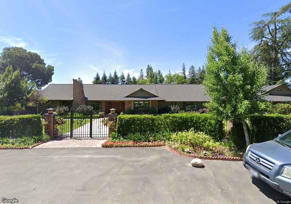
1030 E Swift Ave Fresno, CA 93704
Fig Garden NeighborhoodEstimated Value: $883,000 - $1,550,618
4
Beds
3
Baths
3,609
Sq Ft
$338/Sq Ft
Est. Value
About This Home
This home is located at 1030 E Swift Ave, Fresno, CA 93704 and is currently estimated at $1,221,206, approximately $338 per square foot. 1030 E Swift Ave is a home located in Fresno County with nearby schools including Powers-Ginsburg Elementary, Bullard High School, and Aspen Meadow Public School.
Ownership History
Date
Name
Owned For
Owner Type
Purchase Details
Closed on
Oct 5, 2009
Sold by
Hatem Richard W and Hatem Maureen R
Bought by
Trafalgar Land Company Llc
Current Estimated Value
Purchase Details
Closed on
Mar 19, 2007
Sold by
Poundstone Thomas M and Poundstone Marilyn D
Bought by
Hatem Richard W and Hatem Maureen R
Home Financials for this Owner
Home Financials are based on the most recent Mortgage that was taken out on this home.
Original Mortgage
$522,500
Interest Rate
6.1%
Mortgage Type
Unknown
Purchase Details
Closed on
Aug 9, 2000
Sold by
Shapazian Robert M and Shapazian Gayle A
Bought by
Poundstone Thomas M and Poundstone Marilyn D
Home Financials for this Owner
Home Financials are based on the most recent Mortgage that was taken out on this home.
Original Mortgage
$475,000
Interest Rate
8.2%
Mortgage Type
Stand Alone First
Create a Home Valuation Report for This Property
The Home Valuation Report is an in-depth analysis detailing your home's value as well as a comparison with similar homes in the area
Home Values in the Area
Average Home Value in this Area
Purchase History
| Date | Buyer | Sale Price | Title Company |
|---|---|---|---|
| Trafalgar Land Company Llc | $680,000 | Chicago Title Company | |
| Hatem Richard W | -- | Financial Title Company | |
| Poundstone Thomas M | $475,000 | Stewart Title |
Source: Public Records
Mortgage History
| Date | Status | Borrower | Loan Amount |
|---|---|---|---|
| Previous Owner | Hatem Richard W | $522,500 | |
| Previous Owner | Poundstone Thomas M | $475,000 | |
| Closed | Poundstone Thomas M | $47,500 |
Source: Public Records
Tax History Compared to Growth
Tax History
| Year | Tax Paid | Tax Assessment Tax Assessment Total Assessment is a certain percentage of the fair market value that is determined by local assessors to be the total taxable value of land and additions on the property. | Land | Improvement |
|---|---|---|---|---|
| 2025 | $14,647 | $1,160,761 | $258,155 | $902,606 |
| 2023 | $13,810 | $1,115,689 | $248,132 | $867,557 |
| 2022 | $13,622 | $1,093,814 | $243,267 | $850,547 |
| 2021 | $13,245 | $1,072,368 | $238,498 | $833,870 |
| 2020 | $13,190 | $1,061,373 | $236,053 | $825,320 |
| 2019 | $12,673 | $1,040,563 | $231,425 | $809,138 |
| 2018 | $12,396 | $1,020,161 | $226,888 | $793,273 |
| 2017 | $12,183 | $1,000,159 | $222,440 | $777,719 |
| 2016 | $11,774 | $980,549 | $218,079 | $762,470 |
| 2015 | $11,593 | $965,821 | $214,804 | $751,017 |
| 2014 | $11,376 | $946,903 | $210,597 | $736,306 |
Source: Public Records
Map
Nearby Homes
- 4355 N College Ave
- 4266 N College Ave
- 1408 E Richert Ave
- 820 E Gettysburg Ave
- 1406 E Hampton Way
- 4175 N Van Ness Blvd
- 1216 E Pico Ave
- 4012 N Wishon Ave
- 1448 E Gettysburg Ave
- 1403 E Griffith Way
- 1020 E Saginaw Way
- 4689 N Van Ness Blvd
- 1212 E Saginaw Way
- 1135 E Lansing Way
- 336 E Gettysburg Ave
- 1135 E Santa Ana Ave
- 4481 N Palm Ave
- 4685 N Wilson Ave
- 216 E Ashlan Ave
- 4121 N Palm Ave
- 4263 N College Ave
- 1045 E Swift Ave
- 910 E Swift Ave Unit Lot B
- 910 E Swift Ave Unit lot C
- 910 E Swift Ave
- 4235 N College Ave
- 1112 E Swift Ave
- 4320 N College Ave
- 945 E Swift Ave
- 1011 E Ashlan Ave
- 4343 N College Ave
- 1105 E Swift Ave
- 904 E Swift Ave
- 4254 N Maroa Ave
- 4238 N College Ave
- 919 E Swift Ave
- 4222 N Maroa Ave
- 902 E Swift Ave
- 1202 E Swift Ave
- 4344 N College Ave