--
Bed
--
Bath
82,457
Sq Ft
0.58
Acres
About This Home
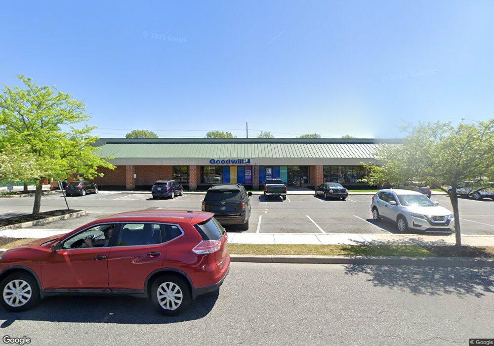
This home is located at 1030 Forrest Ave, Dover, DE 19904. 1030 Forrest Ave is a home located in Kent County with nearby schools including William Henry Middle School, South Dover Elementary School, and Central Middle School.
Ownership History
Date
Name
Owned For
Owner Type
Purchase Details
Closed on
Jun 7, 2021
Sold by
Gateway West Limited Partnership
Bought by
Dollar Tree Stores Inc
Purchase Details
Closed on
May 30, 2006
Sold by
Beiser Group Llc
Bought by
Gateway West Limited Partnership
Home Financials for this Owner
Home Financials are based on the most recent Mortgage that was taken out on this home.
Original Mortgage
$8,800,000
Interest Rate
6.62%
Mortgage Type
Commercial
Create a Home Valuation Report for This Property
The Home Valuation Report is an in-depth analysis detailing your home's value as well as a comparison with similar homes in the area
Home Values in the Area
Average Home Value in this Area
Purchase History
| Date | Buyer | Sale Price | Title Company |
|---|---|---|---|
| Dollar Tree Stores Inc | -- | None Listed On Document | |
| Gateway West Limited Partnership | $166,500 | None Available |
Source: Public Records
Mortgage History
| Date | Status | Borrower | Loan Amount |
|---|---|---|---|
| Previous Owner | Gateway West Limited Partnership | $8,800,000 |
Source: Public Records
Tax History Compared to Growth
Tax History
| Year | Tax Paid | Tax Assessment Tax Assessment Total Assessment is a certain percentage of the fair market value that is determined by local assessors to be the total taxable value of land and additions on the property. | Land | Improvement |
|---|---|---|---|---|
| 2025 | $78,300 | $13,795,000 | $2,210,000 | $11,585,000 |
| 2024 | $78,300 | $13,795,000 | $2,210,000 | $11,585,000 |
| 2023 | $74,568 | $2,533,300 | $102,800 | $2,430,500 |
| 2022 | $72,098 | $2,533,300 | $102,800 | $2,430,500 |
| 2021 | $69,443 | $2,533,300 | $102,800 | $2,430,500 |
| 2020 | $61,562 | $2,325,300 | $102,800 | $2,222,500 |
| 2019 | $58,202 | $2,325,300 | $102,800 | $2,222,500 |
| 2018 | $53,128 | $2,325,300 | $102,800 | $2,222,500 |
| 2017 | $52,236 | $2,325,300 | $0 | $0 |
| 2016 | $52,433 | $2,325,300 | $0 | $0 |
| 2015 | $52,389 | $2,325,300 | $0 | $0 |
| 2014 | $52,522 | $2,325,300 | $0 | $0 |
Source: Public Records
Map
Nearby Homes
- 949 Lincoln St
- 134 Reese St
- 862 Forest St
- 1240 Andrew Dr
- 735 W North St
- 133 Meetinghouse Ln
- 512 Ann Moore St
- 1361 W North St
- 420 W Division St
- 508 Ridgely Blvd
- 502 Ridgely Blvd
- 420 Ridgely Blvd
- 311 Stonebrook Place
- 411 W Reed St
- 118 N Queen St
- 130 N Queen St
- 9 Harlech Hall
- LINCOLN Plan at Eden Hill
- BRANDYWINE Plan at Eden Hill
- JEFFERSON Plan at Eden Hill
- 1070 Forrest Ave
- 0 Bertrand Dr
- 1076 Forrest Ave
- 1076 Forest St
- 1066 Forrest Ave
- 1082 Forrest Ave
- 950 Bedford Dr
- 949 Bedford Dr
- 983 Forest St
- 975 Forest St
- 21 Saulsbury Rd
- 954 Lincoln St
- 27 Saulsbury Rd
- 947 Jawd Dr
- 942 Bedford Dr
- 941 Bedford Dr
- 941 Lincoln St
- 971 Forest St
- 30 Bertrand Dr
- 20 Carver Rd