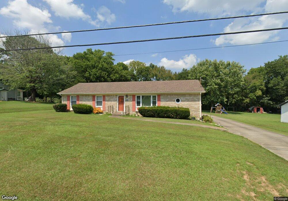
1030 Fox Ln Lewisburg, TN 37091
Estimated Value: $198,000 - $274,000
--
Bed
2
Baths
1,215
Sq Ft
$206/Sq Ft
Est. Value
About This Home
This home is located at 1030 Fox Ln, Lewisburg, TN 37091 and is currently estimated at $250,250, approximately $205 per square foot. 1030 Fox Ln is a home located in Marshall County with nearby schools including Marshall Elementary School, Oak Grove Elementary School, and Westhills Elementary School.
Ownership History
Date
Name
Owned For
Owner Type
Purchase Details
Closed on
Jun 6, 2008
Sold by
Randall Fagan Herbert
Bought by
Randall Fagan Herbert
Current Estimated Value
Home Financials for this Owner
Home Financials are based on the most recent Mortgage that was taken out on this home.
Original Mortgage
$68,500
Outstanding Balance
$43,934
Interest Rate
6.04%
Estimated Equity
$206,316
Purchase Details
Closed on
Nov 20, 1998
Bought by
Fagan Herbert Randall and Fagan Daphne Ann
Purchase Details
Closed on
Aug 30, 1995
Sold by
O'Saile Charles M
Bought by
King James C
Create a Home Valuation Report for This Property
The Home Valuation Report is an in-depth analysis detailing your home's value as well as a comparison with similar homes in the area
Home Values in the Area
Average Home Value in this Area
Purchase History
| Date | Buyer | Sale Price | Title Company |
|---|---|---|---|
| Randall Fagan Herbert | -- | -- | |
| Fagan Herbert Randall | $68,000 | -- | |
| King James C | $55,000 | -- |
Source: Public Records
Mortgage History
| Date | Status | Borrower | Loan Amount |
|---|---|---|---|
| Open | King James C | $68,500 |
Source: Public Records
Tax History Compared to Growth
Tax History
| Year | Tax Paid | Tax Assessment Tax Assessment Total Assessment is a certain percentage of the fair market value that is determined by local assessors to be the total taxable value of land and additions on the property. | Land | Improvement |
|---|---|---|---|---|
| 2024 | -- | $39,025 | $6,250 | $32,775 |
| 2023 | $1,212 | $39,025 | $6,250 | $32,775 |
| 2022 | $1,212 | $39,025 | $6,250 | $32,775 |
| 2021 | $1,180 | $25,375 | $4,500 | $20,875 |
| 2020 | $1,180 | $25,375 | $4,500 | $20,875 |
| 2019 | $1,142 | $25,375 | $4,500 | $20,875 |
| 2018 | $1,130 | $25,375 | $4,500 | $20,875 |
| 2017 | $1,130 | $25,375 | $4,500 | $20,875 |
| 2016 | $1,142 | $22,300 | $4,000 | $18,300 |
| 2015 | $1,041 | $22,300 | $4,000 | $18,300 |
| 2014 | $1,041 | $22,300 | $4,000 | $18,300 |
Source: Public Records
Map
Nearby Homes
- 1020 Corey Dr
- 1159 White Dr
- 1151 Green Valley Dr
- 977 Galloway St
- 1011 Cornersville Rd
- 718 Midway St
- 795 Ashwood Ave
- 1505 Sandy St
- 601 Joyce Ave
- 966 Berry St
- 1128 Moreno Ln
- 575 Joyce Cir
- 1205 Maelee Ann Dr
- 1821 Gina Lynn Dr
- 185 Southview Dr
- 632 Colburn Dr
- 0 Joyce Ave
- 198 Southview Dr
- 125 Southview Dr
- 313 Pardo Dr