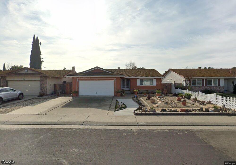
1030 Lencoe Dr Unit 2 Stockton, CA 95210
Valley Oak NeighborhoodEstimated Value: $266,000 - $369,724
3
Beds
2
Baths
1,326
Sq Ft
$245/Sq Ft
Est. Value
About This Home
This home is located at 1030 Lencoe Dr Unit 2, Stockton, CA 95210 and is currently estimated at $324,681, approximately $244 per square foot. 1030 Lencoe Dr Unit 2 is a home located in San Joaquin County with nearby schools including Parklane Elementary School, Delta Sierra Middle School, and Ronald E. McNair High School.
Ownership History
Date
Name
Owned For
Owner Type
Purchase Details
Closed on
Oct 25, 2005
Sold by
Alix Beverly J and Alix Derek X
Bought by
Alix Derek X and Alix Beverly J
Current Estimated Value
Home Financials for this Owner
Home Financials are based on the most recent Mortgage that was taken out on this home.
Original Mortgage
$212,500
Outstanding Balance
$113,166
Interest Rate
5.68%
Mortgage Type
New Conventional
Estimated Equity
$211,515
Purchase Details
Closed on
Feb 17, 2004
Sold by
Stebenne Stanley L and Stebenne Bernadine H
Bought by
Alix Derek X and Alix Beverly J
Home Financials for this Owner
Home Financials are based on the most recent Mortgage that was taken out on this home.
Original Mortgage
$156,000
Interest Rate
5.37%
Mortgage Type
Purchase Money Mortgage
Create a Home Valuation Report for This Property
The Home Valuation Report is an in-depth analysis detailing your home's value as well as a comparison with similar homes in the area
Home Values in the Area
Average Home Value in this Area
Purchase History
| Date | Buyer | Sale Price | Title Company |
|---|---|---|---|
| Alix Derek X | -- | Chicago Title Co | |
| Alix Derek X | $195,000 | Old Republic Title Co |
Source: Public Records
Mortgage History
| Date | Status | Borrower | Loan Amount |
|---|---|---|---|
| Open | Alix Derek X | $212,500 | |
| Closed | Alix Derek X | $156,000 | |
| Closed | Alix Derek X | $39,000 |
Source: Public Records
Tax History
| Year | Tax Paid | Tax Assessment Tax Assessment Total Assessment is a certain percentage of the fair market value that is determined by local assessors to be the total taxable value of land and additions on the property. | Land | Improvement |
|---|---|---|---|---|
| 2025 | $3,039 | $277,234 | $82,458 | $194,776 |
| 2024 | $2,982 | $271,799 | $80,842 | $190,957 |
| 2023 | $2,947 | $266,470 | $79,257 | $187,213 |
| 2022 | $2,881 | $261,246 | $77,703 | $183,543 |
| 2021 | $2,946 | $256,125 | $76,180 | $179,945 |
| 2020 | $2,875 | $253,499 | $75,399 | $178,100 |
| 2019 | $2,807 | $248,529 | $73,921 | $174,608 |
| 2018 | $2,206 | $196,000 | $60,000 | $136,000 |
| 2017 | $1,830 | $164,000 | $49,000 | $115,000 |
| 2016 | $1,714 | $160,000 | $48,000 | $112,000 |
| 2014 | $1,167 | $108,000 | $32,000 | $76,000 |
Source: Public Records
Map
Nearby Homes
- 1229 Enview Ct
- 1127 Castle Oaks Dr
- 8215 Manhattan Dr
- 8314 New York Dr
- 8120 Tam o Shanter Dr
- 1645 Pyrenees Ave Unit 63
- 1661 Pyrenees Ave Unit 70
- 8815 Damian Ct
- 8024 Albany Dr
- 1904 Tours Dr
- 8700 West Ln Unit 31
- 8700 West Ln Unit 186
- 8700 West Ln Unit 243
- 8700 West Ln Unit 118
- 8700 West Ln Unit 174
- 8700 West Ln Unit 157
- 8747 Deer Creek Cir
- 2003 Chambord Dr
- 352 Jill Cir
- 453 453 Jill Cir
Your Personal Tour Guide
Ask me questions while you tour the home.