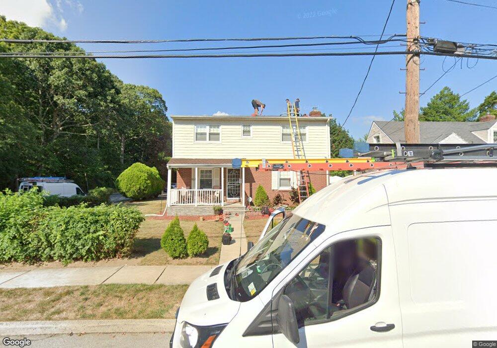
1030 Lincoln Rd West Hempstead, NY 11552
Estimated Value: $827,000 - $831,554
5
Beds
3
Baths
2,011
Sq Ft
$412/Sq Ft
Est. Value
About This Home
This home is located at 1030 Lincoln Rd, West Hempstead, NY 11552 and is currently estimated at $829,277, approximately $412 per square foot. 1030 Lincoln Rd is a home located in Nassau County with nearby schools including Davison Avenue Intermediate School, Maurice W. Downing Primary K-2 School, and Howard T Herber Middle School.
Ownership History
Date
Name
Owned For
Owner Type
Purchase Details
Closed on
Aug 10, 2015
Sold by
Colven Llc
Bought by
Raines Devin and Raines Morna Renee
Current Estimated Value
Home Financials for this Owner
Home Financials are based on the most recent Mortgage that was taken out on this home.
Original Mortgage
$334,400
Outstanding Balance
$263,361
Interest Rate
4.07%
Mortgage Type
Purchase Money Mortgage
Estimated Equity
$565,916
Purchase Details
Closed on
Nov 12, 2014
Sold by
Sime Ana and Lopez Rafael
Bought by
Colven Llc
Purchase Details
Closed on
Jun 20, 2003
Sold by
Prioleau Samuel
Bought by
Sime Ana
Create a Home Valuation Report for This Property
The Home Valuation Report is an in-depth analysis detailing your home's value as well as a comparison with similar homes in the area
Home Values in the Area
Average Home Value in this Area
Purchase History
| Date | Buyer | Sale Price | Title Company |
|---|---|---|---|
| Raines Devin | $418,000 | The Judicial Title Insurance | |
| Colven Llc | $200,000 | Security Tittle | |
| Sime Ana | $285,000 | -- |
Source: Public Records
Mortgage History
| Date | Status | Borrower | Loan Amount |
|---|---|---|---|
| Open | Raines Devin | $334,400 |
Source: Public Records
Tax History Compared to Growth
Tax History
| Year | Tax Paid | Tax Assessment Tax Assessment Total Assessment is a certain percentage of the fair market value that is determined by local assessors to be the total taxable value of land and additions on the property. | Land | Improvement |
|---|---|---|---|---|
| 2025 | $15,357 | $514 | $160 | $354 |
| 2024 | $4,749 | $492 | $153 | $339 |
| 2023 | $13,586 | $514 | $160 | $354 |
| 2022 | $13,586 | $514 | $160 | $354 |
| 2021 | $17,290 | $520 | $162 | $358 |
| 2020 | $13,158 | $598 | $373 | $225 |
| 2019 | $11,927 | $630 | $318 | $312 |
| 2018 | $11,865 | $672 | $0 | $0 |
| 2017 | $9,598 | $859 | $433 | $426 |
| 2016 | $14,651 | $859 | $433 | $426 |
| 2015 | -- | $859 | $433 | $426 |
| 2014 | -- | $859 | $433 | $426 |
| 2013 | $4,452 | $859 | $433 | $426 |
Source: Public Records
Map
Nearby Homes
- 5 Juliette Rd
- 394 Pinebrook Ave
- 49 Carol St
- 312 Coventry Rd S
- 10 Pinebrook Ave
- 301 Coventry Rd N
- 1024 Mahopac Rd
- 1070 Mahopac Rd
- 461 Pinebrook Ave
- 7 Hopatcong Ave
- 486 Champlain Ave
- 55 Melvin Ave
- 841 Woodfield Rd
- 1095 Pinebrook Ct
- 1090 Pinebrook Ct
- 402 Clinton Ave
- 362 Langdon Blvd
- 450 Rhodes Ln
- 1025 Ontario Rd
- 0 Rhodes Ln