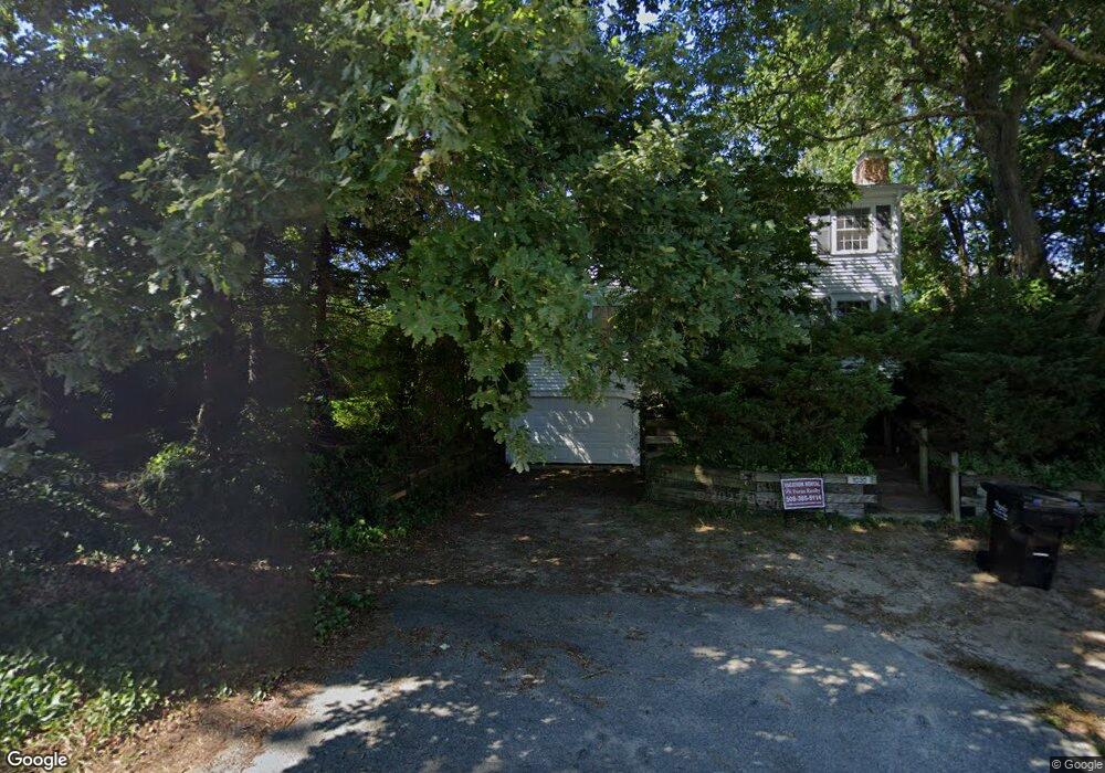
1030 Main St Dennis, MA 02638
Dennis Village NeighborhoodEstimated Value: $1,385,868 - $1,715,000
3
Beds
3
Baths
2,201
Sq Ft
$699/Sq Ft
Est. Value
About This Home
This home is located at 1030 Main St, Dennis, MA 02638 and is currently estimated at $1,538,217, approximately $698 per square foot. 1030 Main St is a home located in Barnstable County with nearby schools including Dennis-Yarmouth Regional High School.
Ownership History
Date
Name
Owned For
Owner Type
Purchase Details
Closed on
Aug 2, 2022
Sold by
Fox Richard
Bought by
Fox Richard and Fox Judith
Current Estimated Value
Home Financials for this Owner
Home Financials are based on the most recent Mortgage that was taken out on this home.
Original Mortgage
$165,000
Interest Rate
4%
Mortgage Type
Adjustable Rate Mortgage/ARM
Purchase Details
Closed on
Apr 17, 2020
Sold by
Ruth A Fox 2016 Ret and Fox
Bought by
Fox Richard
Purchase Details
Closed on
Aug 22, 2016
Sold by
Fox Ft and Fox
Bought by
Ruth A Fox Ret and Fox
Purchase Details
Closed on
Jan 13, 1997
Sold by
Baybutt Suzanne G and Baybutt Philip H
Bought by
Fox Richard P and Fox Ruth A
Create a Home Valuation Report for This Property
The Home Valuation Report is an in-depth analysis detailing your home's value as well as a comparison with similar homes in the area
Home Values in the Area
Average Home Value in this Area
Purchase History
| Date | Buyer | Sale Price | Title Company |
|---|---|---|---|
| Fox Richard | -- | None Available | |
| Fox Richard | -- | None Available | |
| Fox Richard | -- | None Available | |
| Fox Richard | -- | None Available | |
| Ruth A Fox Ret | -- | -- | |
| Fox Richard P | $210,000 | -- | |
| Ruth A Fox Ret | -- | -- | |
| Fox Richard P | $210,000 | -- |
Source: Public Records
Mortgage History
| Date | Status | Borrower | Loan Amount |
|---|---|---|---|
| Previous Owner | Fox Richard | $165,000 | |
| Previous Owner | Fox Richard P | $120,000 | |
| Previous Owner | Fox Richard P | $125,000 |
Source: Public Records
Tax History
| Year | Tax Paid | Tax Assessment Tax Assessment Total Assessment is a certain percentage of the fair market value that is determined by local assessors to be the total taxable value of land and additions on the property. | Land | Improvement |
|---|---|---|---|---|
| 2025 | $5,574 | $1,287,400 | $798,400 | $489,000 |
| 2024 | $5,594 | $1,274,200 | $767,800 | $506,400 |
| 2023 | $5,410 | $1,158,400 | $698,000 | $460,400 |
| 2022 | $4,577 | $817,300 | $474,500 | $342,800 |
| 2021 | $4,538 | $752,600 | $465,200 | $287,400 |
| 2020 | $4,409 | $722,800 | $465,200 | $257,600 |
| 2019 | $4,365 | $707,500 | $456,100 | $251,400 |
| 2018 | $3,531 | $556,900 | $325,600 | $231,300 |
| 2017 | $3,426 | $557,000 | $325,700 | $231,300 |
| 2016 | $3,528 | $540,200 | $347,400 | $192,800 |
| 2015 | $3,457 | $540,200 | $347,400 | $192,800 |
| 2014 | $3,517 | $553,800 | $347,400 | $206,400 |
Source: Public Records
Map
Nearby Homes
- 1376 Bridge St Unit 16
- 9 Split Rock Rd
- 930 Old Bass River Rd
- 239 Paddocks Path
- 59 Hope Ln
- 19 Deacon Joseph Ln
- 31 High Head Rd
- 102 Prince Way
- 645 Main St Back Lot
- 35 Crown Grant Dr
- 1706 Massachusetts 6a Unit 18
- 9 Washburn Place
- 73 Pilgrim Rd
- 1706 Route 6a Unit 18
- 19 Whig St
- 15 Signal Hill Dr
- 144 Forest Pines Dr
- 6 Thomas Ct
- 37 Johnson Ln
- 96 Shore Dr
- 3 Paul St
- 1028 Main St
- 0 Massachusetts 6a Unit 1 6017297
- 1521 Massachusetts 6a
- 1515 Massachusetts 6a
- 1240 Massachusetts 6a
- 1170 Massachusetts 6a
- 1507 Massachusetts 6a
- 0 Massachusetts 6a
- 1694 Main Or Route 6a Unit 21
- 7 Paul St
- 14 Paul
- 16 Ezra Ln
- 1039 Main St
- 4 Paul St
- 7 Peter Rd
- 1043 Main St
- 1055 Main St
- 5 Peter Rd
- 1022 Main St
Your Personal Tour Guide
Ask me questions while you tour the home.