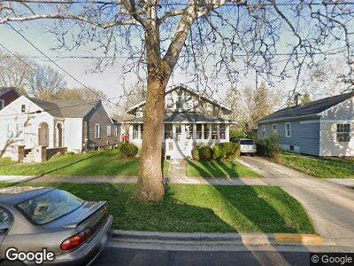
1030 Pearl St Aurora, IL 60505
Southeast Aurora NeighborhoodEstimated Value: $239,000 - $297,000
3
Beds
1
Bath
1,646
Sq Ft
$165/Sq Ft
Est. Value
About This Home
This home is located at 1030 Pearl St, Aurora, IL 60505 and is currently estimated at $271,124, approximately $164 per square foot. 1030 Pearl St is a home located in Kane County with nearby schools including Dieterich Elementary School, K D Waldo Middle School, and East Aurora High School.
Ownership History
Date
Name
Owned For
Owner Type
Purchase Details
Closed on
Jun 8, 2011
Sold by
Bartoszek Wanda M
Bought by
Schratz Jonathan M and Guinnane Susan E
Current Estimated Value
Home Financials for this Owner
Home Financials are based on the most recent Mortgage that was taken out on this home.
Original Mortgage
$99,414
Outstanding Balance
$70,307
Interest Rate
4.5%
Mortgage Type
FHA
Estimated Equity
$194,896
Create a Home Valuation Report for This Property
The Home Valuation Report is an in-depth analysis detailing your home's value as well as a comparison with similar homes in the area
Home Values in the Area
Average Home Value in this Area
Purchase History
| Date | Buyer | Sale Price | Title Company |
|---|---|---|---|
| Schratz Jonathan M | $102,000 | Chicago Title Insurance Co |
Source: Public Records
Mortgage History
| Date | Status | Borrower | Loan Amount |
|---|---|---|---|
| Open | Schratz Jonathan M | $99,414 |
Source: Public Records
Tax History Compared to Growth
Tax History
| Year | Tax Paid | Tax Assessment Tax Assessment Total Assessment is a certain percentage of the fair market value that is determined by local assessors to be the total taxable value of land and additions on the property. | Land | Improvement |
|---|---|---|---|---|
| 2023 | $4,334 | $65,990 | $10,181 | $55,809 |
| 2022 | $4,119 | $60,210 | $9,289 | $50,921 |
| 2021 | $4,041 | $56,056 | $8,648 | $47,408 |
| 2020 | $3,831 | $52,068 | $8,033 | $44,035 |
| 2019 | $3,722 | $48,243 | $7,443 | $40,800 |
| 2018 | $3,868 | $48,474 | $6,885 | $41,589 |
| 2017 | $3,687 | $43,597 | $6,344 | $37,253 |
| 2016 | $3,208 | $37,621 | $5,438 | $32,183 |
| 2015 | -- | $32,473 | $4,676 | $27,797 |
| 2014 | -- | $29,917 | $4,297 | $25,620 |
| 2013 | -- | $30,290 | $5,474 | $24,816 |
Source: Public Records
Map
Nearby Homes
- 1028 5th St
- Lot 1 Douglas Ave
- 1228 Lebanon St
- 1210 Douglas Ave
- 735 Sexton St
- 633 Watson St
- 620 Lebanon St
- 1368 Talma St
- 454 Weston Ave
- 629 S Union St
- 135 Evans Ave
- 1203 S State St
- 555 S Lasalle St
- 450 Center Ave
- 400 S Lasalle St
- 307 Bevier Place
- 555 North Ave
- 438 North Ave
- 217 Arbor Ridge Dr
- 332 North Ave