1030 SW West Union Rd Topeka, KS 66615
Estimated Value: $417,000 - $633,000
3
Beds
2
Baths
1,780
Sq Ft
$281/Sq Ft
Est. Value
About This Home
This home is located at 1030 SW West Union Rd, Topeka, KS 66615 and is currently estimated at $499,369, approximately $280 per square foot. 1030 SW West Union Rd is a home located in Shawnee County with nearby schools including Rossville Elementary School and Rossville Junior/Senior High School.
Ownership History
Date
Name
Owned For
Owner Type
Purchase Details
Closed on
Oct 19, 2006
Sold by
Miller Kelly W and Miller Alyssa G
Bought by
Miller Kelly W and Miller Alyssa S
Current Estimated Value
Purchase Details
Closed on
Jul 27, 2006
Sold by
Miller Kelly W and Miller Alyssa
Bought by
Miller Kelly W and Miller Alyssa G
Create a Home Valuation Report for This Property
The Home Valuation Report is an in-depth analysis detailing your home's value as well as a comparison with similar homes in the area
Home Values in the Area
Average Home Value in this Area
Purchase History
| Date | Buyer | Sale Price | Title Company |
|---|---|---|---|
| Miller Kelly W | -- | None Available | |
| Miller Kelly W | -- | None Available |
Source: Public Records
Tax History Compared to Growth
Tax History
| Year | Tax Paid | Tax Assessment Tax Assessment Total Assessment is a certain percentage of the fair market value that is determined by local assessors to be the total taxable value of land and additions on the property. | Land | Improvement |
|---|---|---|---|---|
| 2025 | $6,037 | $52,177 | -- | -- |
| 2023 | $6,037 | $49,534 | $0 | $0 |
| 2022 | $5,218 | $44,276 | $0 | $0 |
| 2021 | $4,873 | $40,109 | $0 | $0 |
| 2020 | $4,541 | $39,048 | $0 | $0 |
| 2019 | $4,413 | $37,902 | $0 | $0 |
| 2018 | $4,325 | $36,553 | $0 | $0 |
| 2017 | $4,340 | $36,310 | $0 | $0 |
| 2014 | $4,338 | $36,623 | $0 | $0 |
Source: Public Records
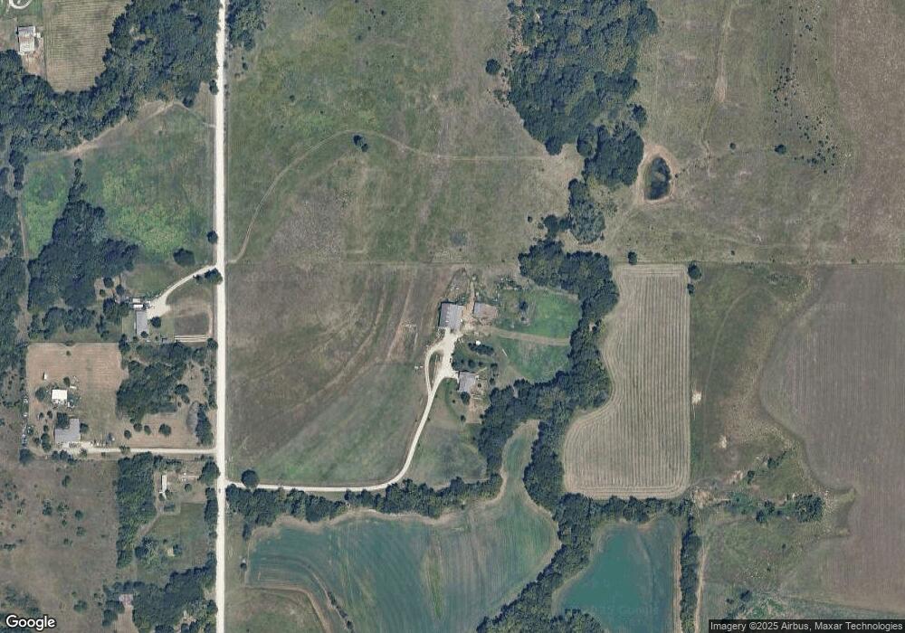
Map
Nearby Homes
- Lot 2, Blk B SW 17th St
- Lot 3, Blk A SW Urish Rd
- XXX NW Douglas Rd
- Lot 2 NW Douglas Rd
- Lot 1 NW Douglas Rd
- 308 Beaubein St
- ooo SW Hays Rd
- 2040 SW Cottonwood Ln
- 00000 SW Hoch Rd
- 604 Mercury St
- SW Hoch Rd
- SW Hoch Rd
- 0 Glacier Rd Unit SUN241974
- 0 Glacier Rd Unit FHR20252898
- 26563 W 83rd Terrace
- 0 SW 49th St Unit 24984487
- 0 SW 49th St Unit 24984495
- 8435 Pickering St
- 1010 SW Ottawa Trail
- 8001 SW 24th St
- 1021 SW West Union Rd
- 901 SW West Union Rd
- 1015 SW West Union Rd
- 1135 SW West Union Rd
- 823 SW West Union Rd
- 1240 SW West Union Rd
- 720 SW West Union Rd
- 12520 SW 13th St
- Lot 16 SW 13th St
- 000 SW 13th St
- 0 SW 13th St
- 1300 SW West Union Rd
- 12649 SW 13th St
- 1324 SW West Union Rd
- 13020 SW 13th St
- 12426 SW 13th St
- 1340 SW West Union Rd
- 12400 SW 13th St
- 1400 SW West Union Rd
- 12441 SW 13th St