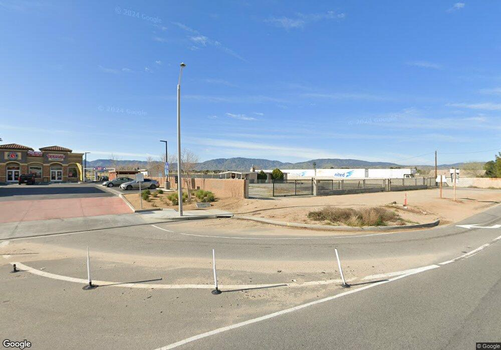
1030 W Avenue N Palmdale, CA 93551
West Palmdale NeighborhoodEstimated Value: $382,000 - $509,000
1
Bed
1
Bath
721
Sq Ft
$606/Sq Ft
Est. Value
About This Home
This home is located at 1030 W Avenue N, Palmdale, CA 93551 and is currently estimated at $436,924, approximately $605 per square foot. 1030 W Avenue N is a home located in Los Angeles County with nearby schools including Esperanza Elementary School, Hillview Middle, and Highland High School.
Ownership History
Date
Name
Owned For
Owner Type
Purchase Details
Closed on
Feb 28, 2020
Sold by
El Dorado Mutual Water Company
Bought by
Gallegos Alfredo and Gallegos Zulma
Current Estimated Value
Purchase Details
Closed on
Jun 21, 2019
Sold by
Crouse Dale E and Dale Crouse Living Trust
Bought by
Gallegos Alfredo and Gallegos Zuima
Purchase Details
Closed on
Jan 11, 2008
Sold by
Crouse Dale E
Bought by
Crouse Dale E and The Dale Crouse Living Trust
Create a Home Valuation Report for This Property
The Home Valuation Report is an in-depth analysis detailing your home's value as well as a comparison with similar homes in the area
Home Values in the Area
Average Home Value in this Area
Purchase History
| Date | Buyer | Sale Price | Title Company |
|---|---|---|---|
| Gallegos Alfredo | -- | None Available | |
| Gallegos Alfredo | $310,000 | Chicago Title Company | |
| Crouse Dale E | -- | None Available |
Source: Public Records
Tax History Compared to Growth
Tax History
| Year | Tax Paid | Tax Assessment Tax Assessment Total Assessment is a certain percentage of the fair market value that is determined by local assessors to be the total taxable value of land and additions on the property. | Land | Improvement |
|---|---|---|---|---|
| 2025 | $4,079 | $339,025 | $84,755 | $254,270 |
| 2024 | $4,079 | $332,379 | $83,094 | $249,285 |
| 2023 | $4,108 | $325,863 | $81,465 | $244,398 |
| 2022 | $4,012 | $319,474 | $79,868 | $239,606 |
| 2021 | $3,985 | $313,210 | $78,302 | $234,908 |
| 2020 | $3,884 | $310,000 | $77,500 | $232,500 |
| 2019 | $2,594 | $69,976 | $43,741 | $26,235 |
| 2018 | $993 | $68,605 | $42,884 | $25,721 |
| 2016 | $951 | $65,943 | $41,220 | $24,723 |
| 2015 | $946 | $64,953 | $40,601 | $24,352 |
| 2014 | $983 | $63,681 | $39,806 | $23,875 |
Source: Public Records
Map
Nearby Homes
- 0 Fwy Center Ct Unit 24008056
- 0 12th St W Vic Ave M-14 Unit M14 24005560
- 0 Cor 17th Stw
- 0 15th St W
- 0 15th St W and Ave N
- 1532 N Ave N
- 1532 West Ave N
- 10 W Th Stw Vic Ave Unit O
- 41024 16th St W
- 1729 West Ave N
- 0 W 11th St Unit 24008774
- 0 W Avenue M-4 Unit 24008773
- 0 W Avenue M-4 Unit 24008772
- 1729 W Avenue n8
- 0 Avenue M4 15th St W Unit 23005670
- 1635 W Avenue n12
- 41331 20th St W
- Adriatic Plan at Joshua Landing
- 1824 Vincent Dr
- 1847 Vincent Dr
- 1030 W Avenue N
- 1030 West Ave N
- 1056 W Avenue N
- 1056 West Ave N
- 41155 10th St W
- 1056 W Avenue N
- 41141 10th St W
- 0 11th Ste Unit SR16023977
- 41210 11th St W
- 0 Vic Avenue N 10th Stw Unit 20005479
- 1137 W Avenue m14 Unit 102
- 1137 W Avenue m14 Unit 103
- 41230 11th St W
- 41230 11th St W
- 0 10th Stw and Ave N Unit 19007605
- 41240 11th St W Unit B
- 41235 11th St W
- 41255 11th St W
- 0 Fwy Center Ct Unit 19008500
- 0 Fwy Center Ct Unit 22009659
