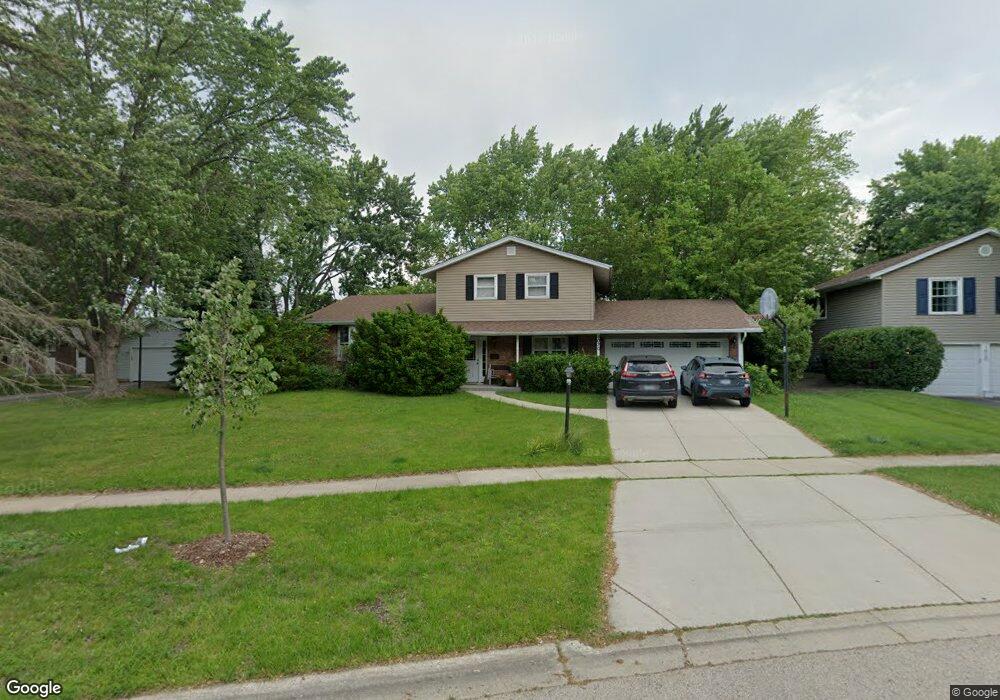
1030 W Firestone Dr Hoffman Estates, IL 60192
South Ridge NeighborhoodEstimated Value: $472,258 - $501,000
4
Beds
2
Baths
1,909
Sq Ft
$257/Sq Ft
Est. Value
About This Home
This home is located at 1030 W Firestone Dr, Hoffman Estates, IL 60192 and is currently estimated at $490,565, approximately $256 per square foot. 1030 W Firestone Dr is a home located in Cook County with nearby schools including Thomas Jefferson Elementary School, Frank C. Whiteley Elementary School, and William Fremd High School.
Ownership History
Date
Name
Owned For
Owner Type
Purchase Details
Closed on
Aug 10, 1998
Sold by
American National Bk & Tr Co Of Chicago
Bought by
Schwartz Ronald E and Sovanski Veronica W
Current Estimated Value
Home Financials for this Owner
Home Financials are based on the most recent Mortgage that was taken out on this home.
Original Mortgage
$135,000
Outstanding Balance
$26,286
Interest Rate
7.06%
Estimated Equity
$464,279
Create a Home Valuation Report for This Property
The Home Valuation Report is an in-depth analysis detailing your home's value as well as a comparison with similar homes in the area
Home Values in the Area
Average Home Value in this Area
Purchase History
| Date | Buyer | Sale Price | Title Company |
|---|---|---|---|
| Schwartz Ronald E | $195,000 | -- |
Source: Public Records
Mortgage History
| Date | Status | Borrower | Loan Amount |
|---|---|---|---|
| Open | Schwartz Ronald E | $135,000 |
Source: Public Records
Tax History
| Year | Tax Paid | Tax Assessment Tax Assessment Total Assessment is a certain percentage of the fair market value that is determined by local assessors to be the total taxable value of land and additions on the property. | Land | Improvement |
|---|---|---|---|---|
| 2025 | $10,020 | $44,000 | $11,400 | $32,600 |
| 2024 | $10,020 | $36,000 | $9,771 | $26,229 |
| 2023 | $9,654 | $36,000 | $9,771 | $26,229 |
| 2022 | $9,654 | $36,000 | $9,771 | $26,229 |
| 2021 | $8,237 | $27,929 | $6,785 | $21,144 |
| 2020 | $8,131 | $27,929 | $6,785 | $21,144 |
| 2019 | $8,048 | $30,964 | $6,785 | $24,179 |
| 2018 | $8,149 | $29,156 | $6,242 | $22,914 |
| 2017 | $8,015 | $29,156 | $6,242 | $22,914 |
| 2016 | $7,693 | $29,156 | $6,242 | $22,914 |
| 2015 | $7,433 | $26,539 | $5,699 | $20,840 |
| 2014 | $7,309 | $26,539 | $5,699 | $20,840 |
| 2013 | $7,106 | $26,539 | $5,699 | $20,840 |
Source: Public Records
Map
Nearby Homes
- 4175 Victoria Dr
- 940 Freeman Rd
- 4480 Thornbark Dr
- 825 Concord Ln
- 3881 Bordeaux Dr
- 1210 Downing Dr
- 765 Concord Ln
- 4475 Olmstead Dr
- 1404 W Sapphire Dr
- 4620 Olmstead Dr
- 1281 Old Timber Ct
- 4485 Bayside Cir
- 10 Carnoustie Ln
- 1690 Cape Breton Ct
- 4791 Amber Cir
- 1886 Clover Dr
- 4075 N Parkside Dr
- 545 Windsor Rd
- 3539 Elsie Ln
- 5083 Chambers Dr
- 1020 W Firestone Dr
- 4190 N Firestone Dr
- 1085 Freeman Rd
- 1065 Freeman Rd
- 1010 W Firestone Dr
- 1055 Freeman Rd
- 1015 W Firestone Dr
- 4165 N Firestone Dr
- 4180 N Firestone Dr
- 1000 W Firestone Dr
- 1035 Freeman Rd
- 1005 W Firestone Dr
- 4155 N Firestone Dr
- 4160 N Firestone Dr
- 1025 Freeman Rd
- 995 W Firestone Dr
- 990 W Firestone Dr
- 4205 Haman Ave
- 1100 Freeman Rd
- 4139 N Firestone Ct
Your Personal Tour Guide
Ask me questions while you tour the home.