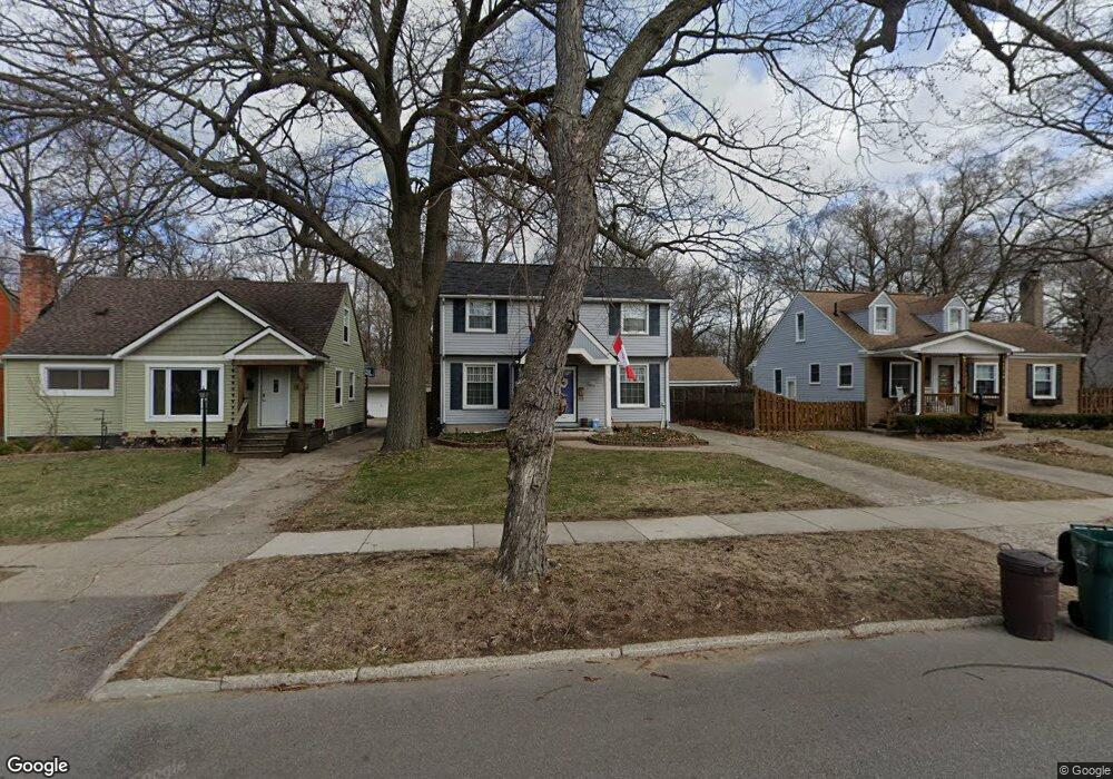
1030 W Lewiston Ave Ferndale, MI 48220
Estimated Value: $357,213 - $390,000
3
Beds
2
Baths
1,294
Sq Ft
$293/Sq Ft
Est. Value
About This Home
This home is located at 1030 W Lewiston Ave, Ferndale, MI 48220 and is currently estimated at $378,803, approximately $292 per square foot. 1030 W Lewiston Ave is a home located in Oakland County with nearby schools including Ferndale Lower Elementary Campus, Ferndale Upper Elementary Campus, and Ferndale Middle School.
Ownership History
Date
Name
Owned For
Owner Type
Purchase Details
Closed on
Nov 8, 2002
Sold by
Stein Adam
Bought by
Knopf Bradley A
Current Estimated Value
Purchase Details
Closed on
Oct 13, 1998
Sold by
Cox Jane
Bought by
Stein Adam
Purchase Details
Closed on
May 25, 1995
Sold by
Wujcik Edward R
Bought by
Cox Jane
Home Financials for this Owner
Home Financials are based on the most recent Mortgage that was taken out on this home.
Original Mortgage
$84,700
Interest Rate
8.26%
Mortgage Type
New Conventional
Create a Home Valuation Report for This Property
The Home Valuation Report is an in-depth analysis detailing your home's value as well as a comparison with similar homes in the area
Home Values in the Area
Average Home Value in this Area
Purchase History
| Date | Buyer | Sale Price | Title Company |
|---|---|---|---|
| Knopf Bradley A | $184,900 | -- | |
| Stein Adam | $143,000 | -- | |
| Cox Jane | $105,900 | -- |
Source: Public Records
Mortgage History
| Date | Status | Borrower | Loan Amount |
|---|---|---|---|
| Previous Owner | Cox Jane | $84,700 | |
| Closed | Knopf Bradley A | -- |
Source: Public Records
Tax History Compared to Growth
Tax History
| Year | Tax Paid | Tax Assessment Tax Assessment Total Assessment is a certain percentage of the fair market value that is determined by local assessors to be the total taxable value of land and additions on the property. | Land | Improvement |
|---|---|---|---|---|
| 2024 | $4,305 | $160,530 | $0 | $0 |
| 2023 | $4,184 | $151,360 | $0 | $0 |
| 2022 | $4,209 | $138,310 | $0 | $0 |
| 2021 | $4,235 | $135,430 | $0 | $0 |
| 2020 | $4,011 | $133,760 | $0 | $0 |
| 2019 | $4,210 | $124,620 | $0 | $0 |
| 2018 | $4,093 | $113,210 | $0 | $0 |
| 2017 | $4,041 | $110,930 | $0 | $0 |
| 2016 | $3,994 | $96,850 | $0 | $0 |
| 2015 | -- | $81,360 | $0 | $0 |
| 2014 | -- | $73,270 | $0 | $0 |
| 2011 | -- | $64,870 | $0 | $0 |
Source: Public Records
Map
Nearby Homes
- 1114 W Lewiston Ave
- 910 W Maplehurst St
- 2015 Central St
- 1941 Hyland St
- 815 W Oakridge St
- 838 W Oakridge St
- 1924 Pinecrest Dr
- 93 Oakdale Blvd
- 629 W Lewiston Ave
- 1364 W Saratoga St
- 8431 Roseland Ct
- 1526 Albany St
- 437 W Drayton St
- 8530 Saratoga St
- 1668 Albany St
- 1416 Leroy St
- 619 Withington St
- 8610 Saratoga St
- 0 Rosewood St
- 630 W Troy St
- 1040 W Lewiston Ave
- 1044 W Lewiston Ave
- 1020 W Lewiston Ave
- 1054 W Lewiston Ave
- 1064 W Lewiston Ave
- 1006 W Lewiston Ave
- 1076 W Lewiston Ave
- 990 W Lewiston Ave
- 980 W Lewiston Ave
- 945 W Maplehurst St
- 2130 Hyland St
- 2206 Hyland St
- 903 W Maplehurst St
- 961 W Maplehurst St
- 937 W Maplehurst St
- 927 W Maplehurst St Unit Bldg-Unit
- 927 W Maplehurst St
- 1086 W Lewiston Ave
- 2220 Hyland St
- 917 W Maplehurst St