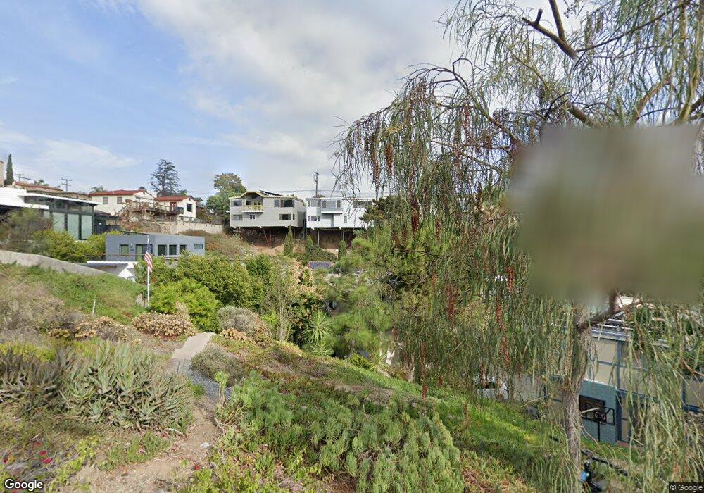
1030 W Upas St San Diego, CA 92103
Middletown NeighborhoodEstimated Value: $1,545,000 - $1,991,000
2
Beds
3
Baths
2,570
Sq Ft
$668/Sq Ft
Est. Value
About This Home
This home is located at 1030 W Upas St, San Diego, CA 92103 and is currently estimated at $1,716,500, approximately $667 per square foot. 1030 W Upas St is a home located in San Diego County with nearby schools including Grant K-8, Richard Henry Dana Middle School, and Roosevelt International Middle School.
Ownership History
Date
Name
Owned For
Owner Type
Purchase Details
Closed on
Jan 20, 2011
Sold by
Walsh John T and Roberts Ruth E
Bought by
Roberts Ruth E and Walsh John T
Current Estimated Value
Home Financials for this Owner
Home Financials are based on the most recent Mortgage that was taken out on this home.
Original Mortgage
$216,200
Interest Rate
4.82%
Mortgage Type
New Conventional
Purchase Details
Closed on
Oct 30, 1984
Bought by
Walsh John T Roberts Ruth E
Create a Home Valuation Report for This Property
The Home Valuation Report is an in-depth analysis detailing your home's value as well as a comparison with similar homes in the area
Home Values in the Area
Average Home Value in this Area
Purchase History
| Date | Buyer | Sale Price | Title Company |
|---|---|---|---|
| Roberts Ruth E | -- | Chicago Title Company | |
| Walsh John T Roberts Ruth E | $150,800 | -- |
Source: Public Records
Mortgage History
| Date | Status | Borrower | Loan Amount |
|---|---|---|---|
| Closed | Roberts Ruth E | $216,200 |
Source: Public Records
Tax History Compared to Growth
Tax History
| Year | Tax Paid | Tax Assessment Tax Assessment Total Assessment is a certain percentage of the fair market value that is determined by local assessors to be the total taxable value of land and additions on the property. | Land | Improvement |
|---|---|---|---|---|
| 2025 | $5,105 | $428,240 | $97,474 | $330,766 |
| 2024 | $5,105 | $419,844 | $95,563 | $324,281 |
| 2023 | $4,990 | $411,613 | $93,690 | $317,923 |
| 2022 | $4,856 | $403,543 | $91,853 | $311,690 |
| 2021 | $4,822 | $395,631 | $90,052 | $305,579 |
| 2020 | $4,762 | $391,575 | $89,129 | $302,446 |
| 2019 | $4,676 | $383,898 | $87,382 | $296,516 |
| 2018 | $4,371 | $376,371 | $85,669 | $290,702 |
| 2017 | $80 | $368,992 | $83,990 | $285,002 |
| 2016 | $4,195 | $361,758 | $82,344 | $279,414 |
| 2015 | $4,133 | $356,325 | $81,108 | $275,217 |
| 2014 | $4,067 | $349,346 | $79,520 | $269,826 |
Source: Public Records
Map
Nearby Homes
- 3505 Ibis St
- 3354 Hawk St
- 3448 Goldfinch St
- 3320 Horton Ave
- 3318-20 Union St
- 3635 Kite St
- 3467 Reynard Way Unit A
- 3109 Hawk St
- 3206-16 Reynard Way
- 3157 Harbor Ridge Ln Unit 2214
- 3535 Columbia St
- 3531 Columbia St
- 3460 Columbia St
- 3243-45 Columbia St
- 1570 Linwood St
- 1313 Terracina Ln
- 1235 1239 Lincoln Ave
- 1617 Chalmers St
- 1295 W Redwood St
- 1034 W Quince St