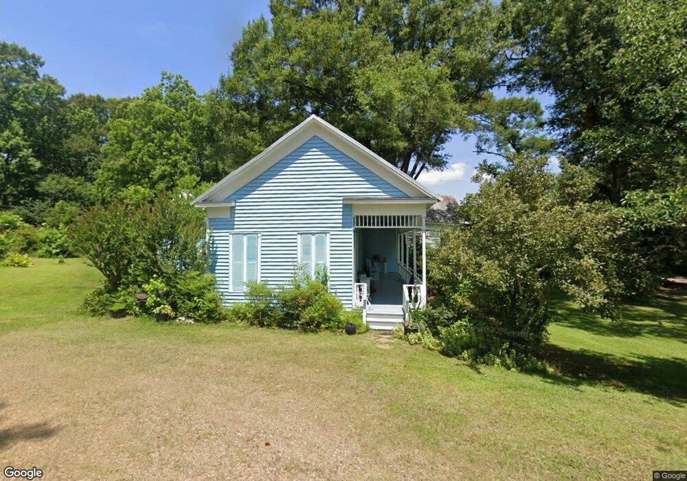
1030 Wesson St Wesson, MS 39191
Estimated Value: $116,143 - $254,000
3
Beds
2
Baths
1,880
Sq Ft
$95/Sq Ft
Est. Value
About This Home
This home is located at 1030 Wesson St, Wesson, MS 39191 and is currently estimated at $178,714, approximately $95 per square foot. 1030 Wesson St is a home located in Copiah County.
Ownership History
Date
Name
Owned For
Owner Type
Purchase Details
Closed on
May 4, 2012
Sold by
Hartley Betty White
Bought by
Hartley Vivian L
Current Estimated Value
Purchase Details
Closed on
Mar 16, 2012
Sold by
Deutsche Bank National Trust Company
Bought by
Newell Curtis and Mannery Doris
Purchase Details
Closed on
May 9, 2011
Sold by
Weeks Nancy B
Bought by
Weeks Nancy B
Purchase Details
Closed on
Mar 3, 2011
Sold by
Robinson Charlie and Robinson Charles
Bought by
Robinson Charlie and Robinson C.E.
Create a Home Valuation Report for This Property
The Home Valuation Report is an in-depth analysis detailing your home's value as well as a comparison with similar homes in the area
Purchase History
| Date | Buyer | Sale Price | Title Company |
|---|---|---|---|
| Hartley Vivian L | -- | -- | |
| Newell Curtis | -- | -- | |
| Weeks Nancy B | -- | -- | |
| Robinson Charlie | -- | -- |
Source: Public Records
Tax History
| Year | Tax Paid | Tax Assessment Tax Assessment Total Assessment is a certain percentage of the fair market value that is determined by local assessors to be the total taxable value of land and additions on the property. | Land | Improvement |
|---|---|---|---|---|
| 2025 | $948 | $8,055 | $0 | $0 |
| 2024 | $948 | $6,668 | $0 | $0 |
| 2023 | $948 | $6,668 | $0 | $0 |
| 2022 | $948 | $6,668 | $0 | $0 |
| 2021 | $964 | $6,668 | $0 | $0 |
| 2020 | $907 | $6,209 | $0 | $0 |
| 2019 | $897 | $6,209 | $0 | $0 |
| 2018 | $897 | $6,209 | $0 | $0 |
| 2017 | $0 | $6,209 | $0 | $0 |
| 2016 | $0 | $5,743 | $0 | $0 |
| 2015 | -- | $5,743 | $0 | $0 |
| 2014 | -- | $5,743 | $0 | $0 |
Source: Public Records
Map
Nearby Homes
- 1079 Beech St
- 0 00 Milltowne Dr
- 1119 Milltowne Dr
- 0 Milltownte Dr
- 0 Sawders Ln
- 1001 Lumley Ln
- 0 David Britt St
- 0 Loom St
- 596 Mount Zion Rd
- 589 Mount Zion Rd
- 594 Mount Zion Rd
- 0 Furrs Mill Dr NE
- 2038 Rocky Hill Rd
- 2548 Furrs Mill Dr NE
- 3066 New Sight Dr NE
- 3085 Beauregard Rd
- 0 Anderson Rd
- 4001 Stegall Rd
- 0 Linwood Ln NE
- 0 Old Hwy 51 NE
Your Personal Tour Guide
Ask me questions while you tour the home.