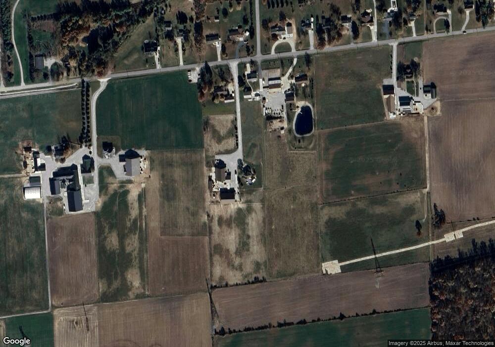
10302 Eby Rd Fort Wayne, IN 46835
Northeast Fort Wayne NeighborhoodEstimated Value: $450,000 - $590,000
4
Beds
3
Baths
2,956
Sq Ft
$178/Sq Ft
Est. Value
About This Home
This home is located at 10302 Eby Rd, Fort Wayne, IN 46835 and is currently estimated at $527,408, approximately $178 per square foot. 10302 Eby Rd is a home located in Allen County with nearby schools including Willard Shambaugh Elementary School, Jefferson Middle School, and Northrop High School.
Ownership History
Date
Name
Owned For
Owner Type
Purchase Details
Closed on
May 3, 2024
Sold by
Shie Suzanne M
Bought by
Shie Wesley R
Current Estimated Value
Purchase Details
Closed on
Jun 28, 2019
Sold by
Shie Wesley R J
Bought by
Schmucker Vernon J and Schmucker Darla M
Home Financials for this Owner
Home Financials are based on the most recent Mortgage that was taken out on this home.
Original Mortgage
$296,800
Interest Rate
3.82%
Mortgage Type
New Conventional
Purchase Details
Closed on
Nov 22, 2017
Sold by
Heather Shie
Bought by
Wesley Shie
Home Financials for this Owner
Home Financials are based on the most recent Mortgage that was taken out on this home.
Original Mortgage
$174,000
Interest Rate
3.94%
Mortgage Type
New Conventional
Purchase Details
Closed on
Jan 28, 2015
Sold by
Shie Richard H
Bought by
Shie Wesley R
Create a Home Valuation Report for This Property
The Home Valuation Report is an in-depth analysis detailing your home's value as well as a comparison with similar homes in the area
Home Values in the Area
Average Home Value in this Area
Purchase History
| Date | Buyer | Sale Price | Title Company |
|---|---|---|---|
| Shie Wesley R | -- | Centurion Land Title | |
| Schmucker Vernon J | $280,000 | Fidelity National Ttl Co Llc | |
| Wesley Shie | -- | -- | |
| Shie Wesley Rj | -- | None Available | |
| Shie Wesley R | -- | None Available |
Source: Public Records
Mortgage History
| Date | Status | Borrower | Loan Amount |
|---|---|---|---|
| Previous Owner | Schmucker Vernon J | $296,800 | |
| Previous Owner | Shie Wesley Rj | $174,000 |
Source: Public Records
Tax History Compared to Growth
Tax History
| Year | Tax Paid | Tax Assessment Tax Assessment Total Assessment is a certain percentage of the fair market value that is determined by local assessors to be the total taxable value of land and additions on the property. | Land | Improvement |
|---|---|---|---|---|
| 2024 | $4,025 | $536,900 | $61,900 | $475,000 |
| 2023 | $4,020 | $470,700 | $60,600 | $410,100 |
| 2022 | $2,799 | $349,800 | $48,900 | $300,900 |
| 2021 | $2,743 | $325,600 | $48,900 | $276,700 |
| 2020 | $3,733 | $371,900 | $48,900 | $323,000 |
| 2019 | $2,272 | $264,300 | $46,500 | $217,800 |
| 2018 | $2,169 | $251,000 | $46,500 | $204,500 |
| 2017 | $2,146 | $239,400 | $46,500 | $192,900 |
| 2016 | $2,204 | $241,100 | $46,500 | $194,600 |
| 2014 | $1,925 | $218,500 | $46,500 | $172,000 |
| 2013 | $1,804 | $209,500 | $46,500 | $163,000 |
Source: Public Records
Map
Nearby Homes
- 9836 Gala Cove
- 9488 Fuji Cove
- 9942 Gala Cove
- 9965 Gala Cove
- 10354 Cottage Park Cove
- 9378 Fuji Cove
- 9331 Fuji Cove
- 8130 Schwartz Rd
- 10205 Battle Run Way
- 10923 Oaklynn Reserve Blvd
- 10967 Oaklynn Reserve Blvd
- 7746 Tumnus Trail Unit 70
- 10128 Privet Dr
- 7779 Tumnus Trail
- 7920 Wethersfield Cove
- 7755 Tumnus Trail
- Harmony Plan at Trader's Trace
- Stamford Plan at Trader's Trace
- Bellamy Plan at Trader's Trace
- Taylor Plan at Trader's Trace