10306 E Bannister Rd Kansas City, MO 64134
Highview Estates NeighborhoodEstimated Value: $226,000 - $266,000
2
Beds
1
Bath
1,272
Sq Ft
$190/Sq Ft
Est. Value
About This Home
This home is located at 10306 E Bannister Rd, Kansas City, MO 64134 and is currently estimated at $241,598, approximately $189 per square foot. 10306 E Bannister Rd is a home located in Jackson County with nearby schools including Truman Elementary School, St Regis School, and Islamic School of Greater Kansas City.
Ownership History
Date
Name
Owned For
Owner Type
Purchase Details
Closed on
Aug 15, 1995
Sold by
Davies Edward H
Bought by
Aikin Edward and Aikin Deanna L
Current Estimated Value
Home Financials for this Owner
Home Financials are based on the most recent Mortgage that was taken out on this home.
Original Mortgage
$86,503
Interest Rate
7.59%
Mortgage Type
FHA
Create a Home Valuation Report for This Property
The Home Valuation Report is an in-depth analysis detailing your home's value as well as a comparison with similar homes in the area
Home Values in the Area
Average Home Value in this Area
Purchase History
| Date | Buyer | Sale Price | Title Company |
|---|---|---|---|
| Aikin Edward | -- | Chicago Title Insurance Co |
Source: Public Records
Mortgage History
| Date | Status | Borrower | Loan Amount |
|---|---|---|---|
| Closed | Aikin Edward | $86,503 |
Source: Public Records
Tax History Compared to Growth
Tax History
| Year | Tax Paid | Tax Assessment Tax Assessment Total Assessment is a certain percentage of the fair market value that is determined by local assessors to be the total taxable value of land and additions on the property. | Land | Improvement |
|---|---|---|---|---|
| 2025 | $2,264 | $29,148 | $13,108 | $16,040 |
| 2024 | $2,264 | $26,157 | $16,293 | $9,864 |
| 2023 | $2,223 | $26,157 | $12,232 | $13,925 |
| 2022 | $2,182 | $22,040 | $6,006 | $16,034 |
| 2021 | $1,883 | $22,040 | $6,006 | $16,034 |
| 2020 | $1,740 | $19,252 | $6,006 | $13,246 |
| 2019 | $1,645 | $19,252 | $6,006 | $13,246 |
| 2018 | $1,534 | $16,755 | $5,227 | $11,528 |
| 2017 | $1,534 | $16,755 | $5,227 | $11,528 |
| 2016 | $1,539 | $16,336 | $5,556 | $10,780 |
| 2014 | $1,523 | $16,336 | $5,556 | $10,780 |
Source: Public Records
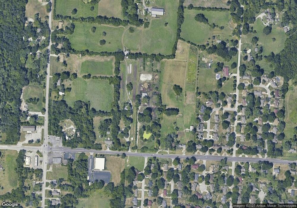
Map
Nearby Homes
- 10500 E Bannister Rd
- 9420 Ralston Ave
- 10321 E 95th Terrace
- 10907 E 98th Terrace
- 9425 E 90th Terrace
- 9721 Elm Ave
- 9525 Manning Ave
- 9033 E 90th Terrace
- 9109 E 89th St
- 8618 Arlington Ave
- 9006 Tennessee Ave
- 8512 Maywood Ave
- 9901 E 85th St
- 8925 E 89th St
- 9201 E 87th St
- 8529 Crescent Ave
- 8916 E 89th Terrace
- 8421 Hawthorne Place
- 8400 Willow Way
- 9414 Lewis Ave
- 10200 E Bannister Rd
- 10310 E Bannister Rd
- 10110 E Bannister Rd
- 9501 Maywood Ave
- 10316 E Bannister Rd
- 9500 Ash Ave
- 9412 Hardy Ave
- 9507 Maywood Ave
- 9504 Maywood Ave
- 9416 Hardy Ave
- 9408 Hardy Ave
- 9501 Ash Ave
- 9420 Hardy Ave
- 10320 E Bannister Rd
- 10400 E 94th Terrace
- 9506 Ash Ave
- 9513 Maywood Ave
- 9510 Maywood Ave
- 9417 Hardy Ave
- 9507 Ash Ave