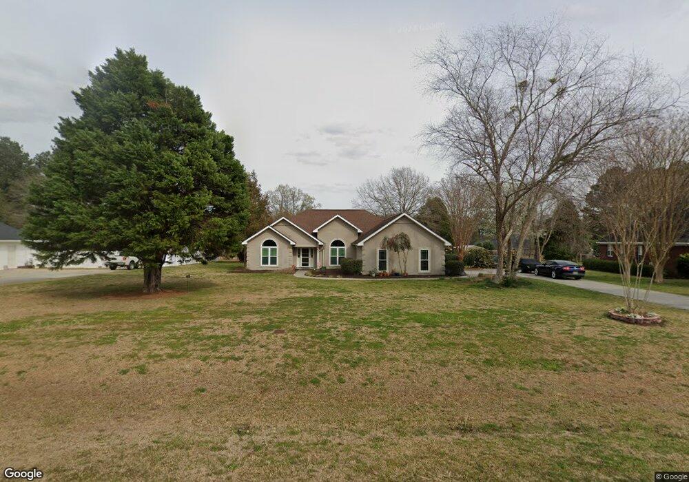
1031 Bradford Way Statesboro, GA 30461
Estimated Value: $296,000 - $318,000
3
Beds
3
Baths
1,836
Sq Ft
$168/Sq Ft
Est. Value
About This Home
This home is located at 1031 Bradford Way, Statesboro, GA 30461 and is currently estimated at $307,932, approximately $167 per square foot. 1031 Bradford Way is a home located in Bulloch County with nearby schools including Sallie Zetterower Elementary School, Statesboro High School, and Langston Chapel Middle School.
Ownership History
Date
Name
Owned For
Owner Type
Purchase Details
Closed on
Nov 30, 2007
Sold by
Not Provided
Bought by
Hodges Patrick T
Current Estimated Value
Purchase Details
Closed on
Jan 18, 2006
Sold by
Not Provided
Bought by
Hodges Patrick T
Home Financials for this Owner
Home Financials are based on the most recent Mortgage that was taken out on this home.
Original Mortgage
$125,200
Interest Rate
6.21%
Mortgage Type
New Conventional
Purchase Details
Closed on
May 1, 1996
Bought by
Callahan James E
Create a Home Valuation Report for This Property
The Home Valuation Report is an in-depth analysis detailing your home's value as well as a comparison with similar homes in the area
Home Values in the Area
Average Home Value in this Area
Purchase History
| Date | Buyer | Sale Price | Title Company |
|---|---|---|---|
| Hodges Patrick T | $174,000 | -- | |
| Hodges Patrick T | $156,500 | -- | |
| Callahan James E | -- | -- |
Source: Public Records
Mortgage History
| Date | Status | Borrower | Loan Amount |
|---|---|---|---|
| Previous Owner | Hodges Patrick T | $125,200 |
Source: Public Records
Tax History Compared to Growth
Tax History
| Year | Tax Paid | Tax Assessment Tax Assessment Total Assessment is a certain percentage of the fair market value that is determined by local assessors to be the total taxable value of land and additions on the property. | Land | Improvement |
|---|---|---|---|---|
| 2024 | $2,258 | $104,720 | $18,000 | $86,720 |
| 2023 | $2,010 | $85,640 | $12,000 | $73,640 |
| 2022 | $1,600 | $75,165 | $10,200 | $64,965 |
| 2021 | $1,421 | $65,376 | $10,200 | $55,176 |
| 2020 | $1,382 | $63,261 | $10,200 | $53,061 |
| 2019 | $1,381 | $62,907 | $9,680 | $53,227 |
| 2018 | $1,320 | $57,999 | $9,680 | $48,319 |
| 2017 | $1,290 | $56,161 | $9,680 | $46,481 |
| 2016 | $1,259 | $53,578 | $9,680 | $43,898 |
| 2015 | $1,258 | $53,322 | $9,680 | $43,642 |
| 2014 | $1,163 | $53,322 | $9,680 | $43,642 |
Source: Public Records
Map
Nearby Homes
- 1136 Bartlett Dr
- 1143 Bartlett Dr
- 1139 Bartlett Dr
- 1008 Cawana Rd
- 0 Cawana Rd Unit 10619496
- Cali Plan at Holly Oaks
- Kerry Plan at Holly Oaks
- Belhaven Plan at Holly Oaks
- Freeport Plan at Holly Oaks
- Manning Plan at Holly Oaks
- Robie Plan at Holly Oaks
- 2.055 ACRES S and S Railroad Bed Rd
- 522 Outpost Way
- 504 Outpost Way
- 520 Outpost Way
- 506 Outpost Way
- 314 Longwood Dr
- 508 Outpost Way
- 510 Outpost Way
- 512 Outpost Way
- 1029 Bradford Way
- 1033 Bradford Way
- 1114 Bartlett Dr
- 1112 Bartlett Dr
- 1027 Bradford Way
- 1035 Bradford Way
- 1116 Bartlett Dr
- 1018 Bradford Way
- 1110 Bartlett Dr
- 1016 Bradford Way
- 1022 Bradford Way
- 1106 Bartlett Dr
- 1108 Bartlett Dr
- 1118 Bartlett Dr
- 1025 Bradford Way
- 1037 Bradford Way
- 1014 Bradford Way
- 1121 Bartlett Dr
- 1119 Bartlett Dr
- 1024 Bradford Way