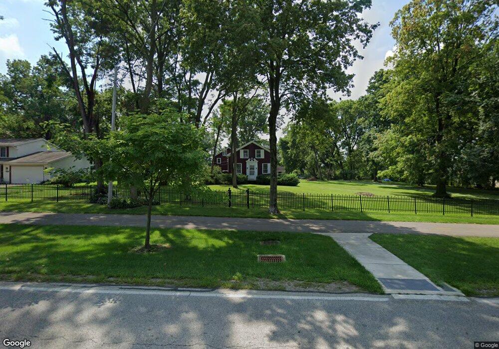
1031 E Walnut St Westerville, OH 43081
Estimated Value: $403,000 - $504,000
3
Beds
2
Baths
2,419
Sq Ft
$185/Sq Ft
Est. Value
About This Home
This home is located at 1031 E Walnut St, Westerville, OH 43081 and is currently estimated at $448,090, approximately $185 per square foot. 1031 E Walnut St is a home located in Franklin County with nearby schools including Mark Twain Elementary School, Walnut Springs Middle School, and Westerville-North High School.
Ownership History
Date
Name
Owned For
Owner Type
Purchase Details
Closed on
Jun 2, 2009
Sold by
Garrett Bobby J and Garrett Mary Jane
Bought by
Garrett Bobby J and Garrett Mary Jane
Current Estimated Value
Purchase Details
Closed on
Nov 6, 2001
Sold by
Garrett Bobby J and Garrett Mary Jane
Bought by
Garrett Bobby J and Garrett Mary Jane
Purchase Details
Closed on
Sep 14, 1965
Bought by
Garrett Bobby J
Create a Home Valuation Report for This Property
The Home Valuation Report is an in-depth analysis detailing your home's value as well as a comparison with similar homes in the area
Home Values in the Area
Average Home Value in this Area
Purchase History
| Date | Buyer | Sale Price | Title Company |
|---|---|---|---|
| Garrett Bobby J | -- | Attorney | |
| Garrett Bobby J | -- | -- | |
| City Of Westerville | -- | -- | |
| Garrett Mark J | -- | -- | |
| Garrett Bobby J | -- | -- |
Source: Public Records
Tax History
| Year | Tax Paid | Tax Assessment Tax Assessment Total Assessment is a certain percentage of the fair market value that is determined by local assessors to be the total taxable value of land and additions on the property. | Land | Improvement |
|---|---|---|---|---|
| 2025 | $6,119 | $107,670 | $31,960 | $75,710 |
| 2024 | $6,119 | $107,670 | $31,960 | $75,710 |
| 2023 | $5,989 | $107,670 | $31,960 | $75,710 |
| 2022 | $5,853 | $89,080 | $38,360 | $50,720 |
| 2021 | $5,902 | $89,080 | $38,360 | $50,720 |
| 2020 | $5,885 | $89,080 | $38,360 | $50,720 |
| 2019 | $5,058 | $73,930 | $31,960 | $41,970 |
| 2018 | $4,251 | $73,930 | $31,960 | $41,970 |
| 2017 | $4,317 | $73,930 | $31,960 | $41,970 |
| 2016 | $3,660 | $52,400 | $26,880 | $25,520 |
| 2015 | $3,544 | $52,400 | $26,880 | $25,520 |
| 2014 | $3,547 | $52,400 | $26,880 | $25,520 |
| 2013 | $1,669 | $49,875 | $25,585 | $24,290 |
Source: Public Records
Map
Nearby Homes
- 961 E College Ave
- 1114 Melinda Dr
- 960 Lakeland Dr
- 497 Catawba Ave
- 45 Kanpur Place
- 612 E Schrock Rd
- 636 E Schrock Rd
- 994 Autumn Lake Ct
- 487 Beachside Dr
- 415-417 E Walnut St
- 615 Vancouver Dr
- 291 Mohawk Ave
- 410 Six Pence Cir
- 182 Cherrington Rd
- 166 Allview Rd
- 175 Cherrington Rd
- 328 Myrtle Dr Unit Lot 5
- 348 Myrtle Dr Unit Lot 10
- 337 Myrtle Dr Unit Lot 2
- 334 Myrtle Dr Unit Lot 7
- 1039 E Walnut St
- 985 E Walnut St
- 124 Mainsail Dr
- 145 Spring Valley Rd
- 136 Mainsail Dr
- 1030 E Walnut St
- 150 Mainsail Dr
- 139 Spring Valley Rd
- 1049 E Walnut St
- 135 Spring Creek Dr
- 136 Spring Valley Rd
- 1030 Lake Harbor Ct
- 1036 Lake Harbor Ct
- 1022 Lake Harbor Ct
- 1006 Lake Harbor Ct
- 133 Spring Valley Rd
- 129 Spring Creek Dr
- 1014 Lake Harbor Ct
- 1073 E Walnut St
- 130 Spring Valley Rd