Estimated Value: $230,000 - $358,000
--
Bed
--
Bath
1,290
Sq Ft
$235/Sq Ft
Est. Value
About This Home
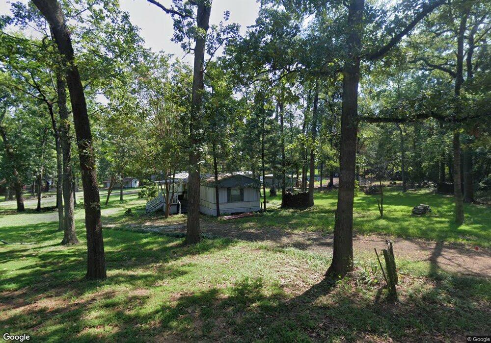
This home is located at 1031 Oak Ridge Rd, Many, LA 71449 and is currently estimated at $303,704, approximately $235 per square foot. 1031 Oak Ridge Rd is a home.
Ownership History
Date
Name
Owned For
Owner Type
Purchase Details
Closed on
Jul 30, 2021
Sold by
Dion-Young Edward and Stephenson-Young Marcie K
Bought by
B & M Lemoine Properties
Current Estimated Value
Purchase Details
Closed on
Mar 27, 2017
Sold by
Andrus Bruce Roland
Bought by
Young Marcie Kathryn Stephenson and Young Edward Dion
Home Financials for this Owner
Home Financials are based on the most recent Mortgage that was taken out on this home.
Original Mortgage
$184,000
Interest Rate
3.37%
Mortgage Type
New Conventional
Purchase Details
Closed on
Sep 12, 2012
Sold by
Wells Jeffery Lane
Bought by
Mann Christopher Blake and Mann Sarah Harris
Create a Home Valuation Report for This Property
The Home Valuation Report is an in-depth analysis detailing your home's value as well as a comparison with similar homes in the area
Home Values in the Area
Average Home Value in this Area
Purchase History
| Date | Buyer | Sale Price | Title Company |
|---|---|---|---|
| B & M Lemoine Properties | $290,000 | None Available | |
| Young Marcie Kathryn Stephenson | $230,000 | None Available | |
| Mann Christopher Blake | $110,000 | None Available |
Source: Public Records
Mortgage History
| Date | Status | Borrower | Loan Amount |
|---|---|---|---|
| Previous Owner | Young Marcie Kathryn Stephenson | $184,000 |
Source: Public Records
Tax History Compared to Growth
Tax History
| Year | Tax Paid | Tax Assessment Tax Assessment Total Assessment is a certain percentage of the fair market value that is determined by local assessors to be the total taxable value of land and additions on the property. | Land | Improvement |
|---|---|---|---|---|
| 2024 | $1,501 | $24,646 | $6,975 | $17,671 |
| 2023 | $1,007 | $16,203 | $4,883 | $11,320 |
| 2022 | $1,007 | $16,203 | $4,883 | $11,320 |
| 2021 | $1,109 | $16,203 | $4,883 | $11,320 |
| 2020 | $1,110 | $16,203 | $4,883 | $11,320 |
| 2019 | $1,107 | $16,203 | $4,883 | $11,320 |
| 2018 | $451 | $6,560 | $1,500 | $5,060 |
| 2017 | $525 | $6,560 | $1,500 | $5,060 |
| 2016 | $535 | $6,560 | $1,500 | $5,060 |
| 2015 | $560 | $6,560 | $1,500 | $5,060 |
| 2014 | -- | $6,560 | $1,500 | $5,060 |
Source: Public Records
Map
Nearby Homes
- 1117 Oak Ridge Rd
- 1149 Oak Ridge Rd
- 000 Oak Ridge Rd Unit 48
- 000 Oak Ridge Rd Unit 47
- 008 Preservation Point Rd Unit 8
- 526 Terra Cir
- 1290 Merritt Mountain Rd Unit 8
- 60 Spring Ct
- 2201 Queens Rd Unit 6
- 50 N Star Dr
- 80 Northstar Ln
- 129 Andron Dr
- 0 Twin Vista Dr Unit Lot 22 and 23
- 41 Turtle Wayne Ln Unit 12
- 21 United Bay Ln
- 565 Mid Lake Ln
- 310 Shagbark Ln
- 350 Shagbark Ln
- 136 Abe Dr
- 60 Don Ave
- 1030 Oak Ridge Rd
- 320 Palmer Blvd
- 989 Oak Ridge Rd
- 1045 Oak Ridge Rd
- 298 Palmer Blvd
- 930 Oak Ridge Rd
- 949 Oak Ridge Rd
- 1067 Oak Ridge Rd
- 1100 Oak Ridge Rd
- 906 Oak Ridge Rd
- 905 Oak Ridge Rd
- 253 Bayside Dr Unit 6/7
- 207 Palmer Blvd
- 238 Bayside Dr
- 900 Oak Ridge Rd
- 205 Bayside Dr
- 166 Palmer Blvd
- 1184 Oak Ridge Rd
- TBD Bayside Dr Unit 7,8,9
- 1226 Oak Ridge Rd