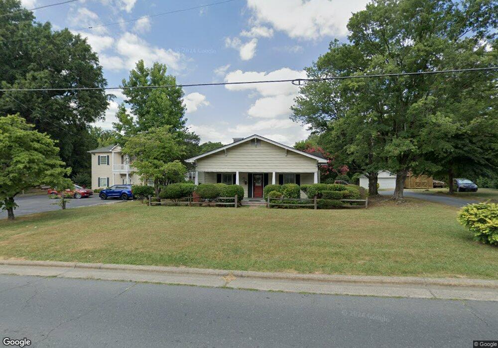
1031 S Cox St Asheboro, NC 27203
Estimated Value: $170,000 - $223,000
--
Bed
1
Bath
1,628
Sq Ft
$121/Sq Ft
Est. Value
About This Home
This home is located at 1031 S Cox St, Asheboro, NC 27203 and is currently estimated at $197,102, approximately $121 per square foot. 1031 S Cox St is a home located in Randolph County with nearby schools including Lindley Park Elementary School, South Asheboro Middle School, and Asheboro High School.
Ownership History
Date
Name
Owned For
Owner Type
Purchase Details
Closed on
Mar 6, 2024
Sold by
Abernethy Martha M and Abernethy Joseph
Bought by
Abernethy Martha M
Current Estimated Value
Home Financials for this Owner
Home Financials are based on the most recent Mortgage that was taken out on this home.
Original Mortgage
$107,100
Outstanding Balance
$105,235
Interest Rate
6.69%
Mortgage Type
New Conventional
Estimated Equity
$91,867
Purchase Details
Closed on
Oct 26, 2006
Sold by
Abernethy Martha M
Bought by
Abernethy Martha M and Abernethy Joseph
Home Financials for this Owner
Home Financials are based on the most recent Mortgage that was taken out on this home.
Original Mortgage
$139,000
Interest Rate
8.04%
Mortgage Type
New Conventional
Purchase Details
Closed on
Mar 20, 1986
Bought by
Abernethy Martha Mabernethy Josep
Create a Home Valuation Report for This Property
The Home Valuation Report is an in-depth analysis detailing your home's value as well as a comparison with similar homes in the area
Home Values in the Area
Average Home Value in this Area
Purchase History
| Date | Buyer | Sale Price | Title Company |
|---|---|---|---|
| Abernethy Martha M | -- | None Listed On Document | |
| Abernethy Martha M | -- | None Listed On Document | |
| Abernethy Martha M | -- | None Available | |
| Abernethy Martha Mabernethy Josep | $41,500 | -- |
Source: Public Records
Mortgage History
| Date | Status | Borrower | Loan Amount |
|---|---|---|---|
| Open | Abernethy Martha M | $107,100 | |
| Closed | Abernethy Martha M | $107,100 | |
| Previous Owner | Abernethy Martha M | $139,000 |
Source: Public Records
Tax History Compared to Growth
Tax History
| Year | Tax Paid | Tax Assessment Tax Assessment Total Assessment is a certain percentage of the fair market value that is determined by local assessors to be the total taxable value of land and additions on the property. | Land | Improvement |
|---|---|---|---|---|
| 2025 | $1,847 | $139,370 | $36,360 | $103,010 |
| 2024 | $1,847 | $139,370 | $36,360 | $103,010 |
| 2023 | $1,852 | $139,370 | $36,360 | $103,010 |
| 2022 | $1,490 | $102,990 | $31,800 | $71,190 |
| 2021 | $1,490 | $102,990 | $31,800 | $71,190 |
| 2020 | $1,490 | $102,990 | $31,800 | $71,190 |
| 2019 | $1,490 | $102,990 | $31,800 | $71,190 |
| 2018 | $1,399 | $95,080 | $31,800 | $63,280 |
| 2016 | $1,252 | $112,187 | $40,880 | $71,307 |
| 2015 | $1,255 | $112,187 | $40,880 | $71,307 |
| 2014 | -- | $112,187 | $40,880 | $71,307 |
Source: Public Records
Map
Nearby Homes
- 350 Stowe Ave Unit 101
- 922 S Cox St
- 1002 Cliff Rd
- 822 Glenwood Rd
- 209 Armfield Ave
- 211 Armfield Ave
- 1427 S Fayetteville St
- 602 Highland St
- 604 Hemlock Dr
- 0 U S Highway 64
- 500 E Kivett St
- 640 Hemlock Dr
- 815 Trollinger Rd
- 960 Lee St
- 855 Lee St
- 643 Cypress Dr
- 412 Cliff Rd
- 627 Lee St
- 737 Britt Ave
- 741 Kildare Rd