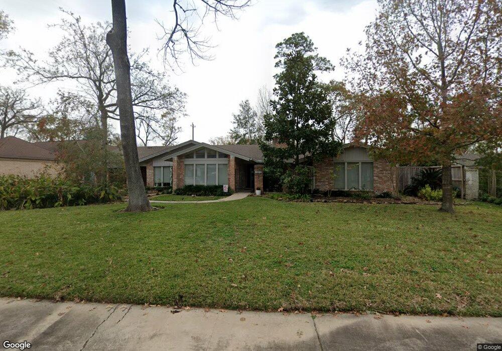
10310 Briar Dr Houston, TX 77042
Briar Forest NeighborhoodEstimated Value: $917,000 - $1,074,000
4
Beds
3
Baths
2,378
Sq Ft
$418/Sq Ft
Est. Value
About This Home
This home is located at 10310 Briar Dr, Houston, TX 77042 and is currently estimated at $993,609, approximately $417 per square foot. 10310 Briar Dr is a home located in Harris County with nearby schools including Walnut Bend Elementary School, Paul Revere Middle School, and Westside High School.
Ownership History
Date
Name
Owned For
Owner Type
Purchase Details
Closed on
Jun 7, 2013
Sold by
Fawndale Towhouse Assn Inc
Bought by
Lundstrom Ventures Ltd
Current Estimated Value
Purchase Details
Closed on
Sep 9, 1994
Sold by
Ekstrand William N and Cox Anita E
Bought by
Kitchell James R and Kitchell Sharon L
Create a Home Valuation Report for This Property
The Home Valuation Report is an in-depth analysis detailing your home's value as well as a comparison with similar homes in the area
Home Values in the Area
Average Home Value in this Area
Purchase History
| Date | Buyer | Sale Price | Title Company |
|---|---|---|---|
| Lundstrom Ventures Ltd | -- | First American Title | |
| Kitchell James R | -- | American Title Company |
Source: Public Records
Tax History Compared to Growth
Tax History
| Year | Tax Paid | Tax Assessment Tax Assessment Total Assessment is a certain percentage of the fair market value that is determined by local assessors to be the total taxable value of land and additions on the property. | Land | Improvement |
|---|---|---|---|---|
| 2025 | $7,069 | $854,352 | $540,945 | $313,407 |
| 2024 | $7,069 | $814,861 | $540,945 | $273,916 |
| 2023 | $8,150 | $949,622 | $540,945 | $408,677 |
| 2022 | $18,717 | $918,594 | $540,945 | $377,649 |
| 2021 | $18,011 | $775,000 | $540,945 | $234,055 |
| 2020 | $17,012 | $702,515 | $540,945 | $161,570 |
| 2019 | $18,523 | $732,000 | $540,945 | $191,055 |
| 2018 | $10,775 | $725,000 | $288,504 | $436,496 |
| 2017 | $18,332 | $725,000 | $288,504 | $436,496 |
| 2016 | $18,357 | $817,000 | $288,504 | $528,496 |
| 2015 | $10,263 | $750,000 | $288,504 | $461,496 |
| 2014 | $10,263 | $639,644 | $288,504 | $351,140 |
Source: Public Records
Map
Nearby Homes
- 10323 Pine Forest Rd
- 238 Litchfield Ln
- 246 Litchfield Ln
- 168 Litchfield Ln
- 171 Litchfield Ln
- 201 Litchfield Ln
- 161 Litchfield Ln
- 12625 Memorial Dr Unit 180
- 12625 Memorial Dr Unit 17
- 12625 Memorial Dr Unit 4
- 12625 Memorial Dr Unit 146
- 12625 Memorial Dr Unit 87
- 12625 Memorial Dr
- 12625 Memorial Dr Unit 11
- 152 Litchfield Ln
- 241 Litchfield Ln
- 259 Litchfield Ln Unit 66
- 53 Litchfield Ln
- 271 Litchfield Ln
- 115 Litchfield Ln
- 10318 Briar Dr
- 10302 Briar Dr
- 10322 Briar Dr
- 10218 Briar Dr
- 10252 Briar Dr Unit FOREAT
- 10311 Briar Dr
- 10307 Briar Dr
- 10214 Briar Dr
- 10315 Briar Dr
- 10223 Briar Dr
- 10319 Briar Dr
- 10323 Briar Dr
- 10219 Briar Dr
- 10334 Briar Dr
- 10327 Briar Dr
- 10206 Briar Dr
- 10314 Shady River Dr
- 10215 Briar Dr
- 10318 Shady River Dr
- 10310 Shady River Dr