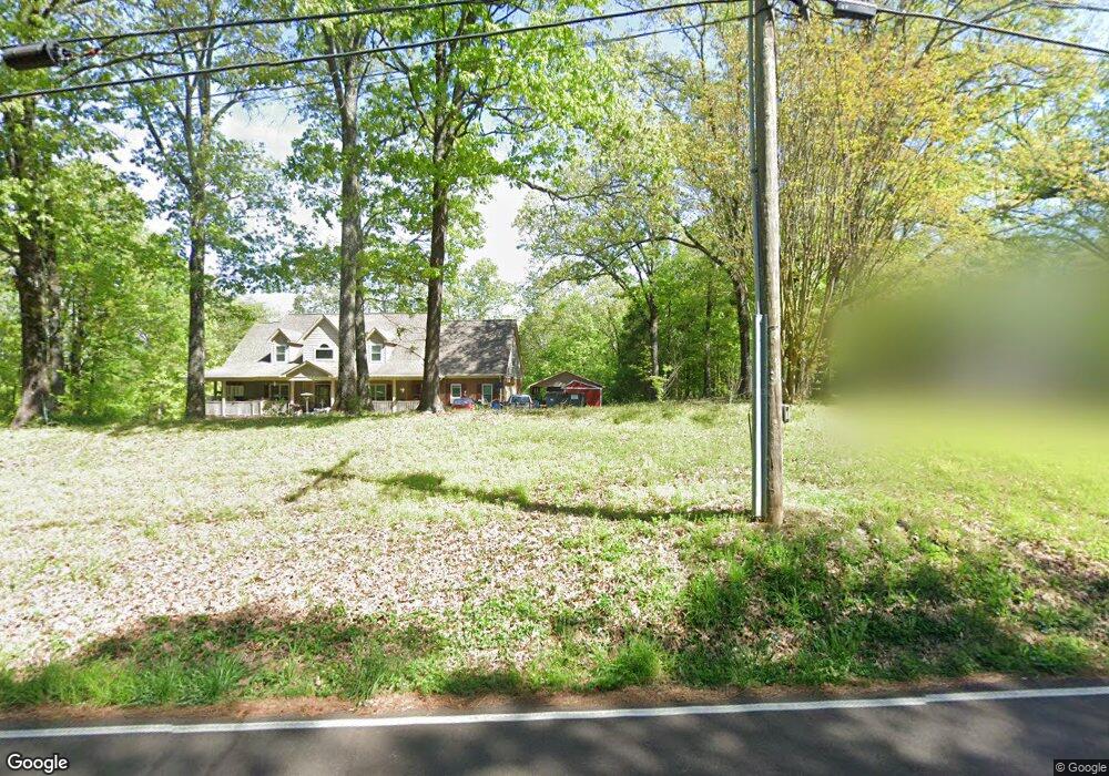
10310 Latting Rd Cordova, TN 38016
Gray's Creek NeighborhoodEstimated Value: $570,000 - $884,601
4
Beds
3
Baths
4,344
Sq Ft
$172/Sq Ft
Est. Value
About This Home
This home is located at 10310 Latting Rd, Cordova, TN 38016 and is currently estimated at $746,650, approximately $171 per square foot. 10310 Latting Rd is a home located in Shelby County with nearby schools including Macon-Hall Elementary School, Mt. Pisgah Middle School, and Bolton High School.
Ownership History
Date
Name
Owned For
Owner Type
Purchase Details
Closed on
Nov 28, 2018
Sold by
Carrier John F and Carrier Deborah A
Bought by
Robinson Sayle F and Robinson Steffani H
Current Estimated Value
Home Financials for this Owner
Home Financials are based on the most recent Mortgage that was taken out on this home.
Original Mortgage
$432,000
Outstanding Balance
$380,601
Interest Rate
4.8%
Mortgage Type
New Conventional
Estimated Equity
$366,049
Purchase Details
Closed on
Feb 18, 1998
Sold by
Carrier John F
Bought by
Carrier John F and Carrier Deborah A
Home Financials for this Owner
Home Financials are based on the most recent Mortgage that was taken out on this home.
Original Mortgage
$132,000
Interest Rate
6.86%
Create a Home Valuation Report for This Property
The Home Valuation Report is an in-depth analysis detailing your home's value as well as a comparison with similar homes in the area
Home Values in the Area
Average Home Value in this Area
Purchase History
| Date | Buyer | Sale Price | Title Company |
|---|---|---|---|
| Robinson Sayle F | $540,000 | Home Surety Title & Escrow L | |
| Carrier John F | -- | -- |
Source: Public Records
Mortgage History
| Date | Status | Borrower | Loan Amount |
|---|---|---|---|
| Open | Robinson Sayle F | $432,000 | |
| Previous Owner | Carrier John F | $132,000 |
Source: Public Records
Tax History Compared to Growth
Tax History
| Year | Tax Paid | Tax Assessment Tax Assessment Total Assessment is a certain percentage of the fair market value that is determined by local assessors to be the total taxable value of land and additions on the property. | Land | Improvement |
|---|---|---|---|---|
| 2025 | $5,333 | $193,625 | $77,475 | $116,150 |
| 2024 | $5,333 | $157,325 | $73,550 | $83,775 |
| 2023 | $5,333 | $157,325 | $73,550 | $83,775 |
| 2022 | $5,333 | $157,325 | $73,550 | $83,775 |
| 2021 | $5,428 | $157,325 | $73,550 | $83,775 |
| 2020 | $5,657 | $139,675 | $66,450 | $73,225 |
| 2019 | $5,657 | $139,675 | $66,450 | $73,225 |
| 2018 | $5,657 | $139,675 | $66,450 | $73,225 |
| 2017 | $5,741 | $139,675 | $66,450 | $73,225 |
| 2016 | $5,461 | $124,975 | $0 | $0 |
| 2014 | $5,461 | $124,975 | $0 | $0 |
Source: Public Records
Map
Nearby Homes
- 0 Latting Rd Unit 10198268
- 9931 Chivas Dr
- 1914 Talisker Dr
- 1915 Talisker Dr
- 1871 Speyburn Cove
- 10658 Headley Cove
- 1698 Pisgah Rd
- 1830 Speyburn Cove
- 1886 N Houston Levee Rd
- 9744 N Bloomington Cir
- 10004 Chariden Dr
- 1818 N Houston Levee Rd
- 1802 N Houston Levee Rd
- 1965 Rochelle Ln
- 1977 Rochelle Ln
- 1663 N Pisgah Rd
- 1649 Brimhill Ln
- 9740 N Bloomington Cir
- 1632 Sutton Meadow Ln
- 1636 Stable Run Dr
- 2161 Clarke Landing Dr
- 2175 Clarke Landing Dr
- 2185 Clarke Landing Dr
- 2065 Clarke Landing Dr
- 10290 Latting Rd
- 10270 Latting Rd
- 10250 Latting Rd
- 10120 Latting Lot 4 Rd
- 10120 Latting Rd
- 2195 Clarke Landing Dr
- 10220 Latting Rd
- 2166 Clarke Landing Dr
- 2215 Clarke Landing Dr
- 10251 Latting Rd
- 2180 Clarke Landing Dr
- 2140 Clarke Landing Dr
- 2070 Clarke Landing Dr
- 0 Pisgah Rd Unit 3128882
- 0 Pisgah Rd Unit 3131274
- 0 Pisgah Rd Unit 3161448