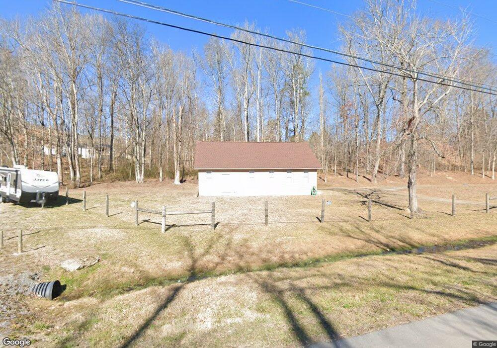
10311 Lee Hwy Mc Donald, TN 37353
Estimated Value: $252,847 - $398,000
--
Bed
--
Bath
1,232
Sq Ft
$270/Sq Ft
Est. Value
About This Home
This home is located at 10311 Lee Hwy, Mc Donald, TN 37353 and is currently estimated at $332,212, approximately $269 per square foot. 10311 Lee Hwy is a home with nearby schools including Ooltewah Elementary School, Hunter Middle School, and Ooltewah High School.
Ownership History
Date
Name
Owned For
Owner Type
Purchase Details
Closed on
Feb 1, 2018
Sold by
Johnson Robert J and Johnson Louise L
Bought by
Healy Jerome V and Healy Sheryl G
Current Estimated Value
Purchase Details
Closed on
Nov 21, 2012
Sold by
Bankston James Terry and Bankston Micheline K
Bought by
Johnson Robert J and Johnson Louise L
Home Financials for this Owner
Home Financials are based on the most recent Mortgage that was taken out on this home.
Original Mortgage
$92,000
Interest Rate
3.4%
Mortgage Type
Commercial
Create a Home Valuation Report for This Property
The Home Valuation Report is an in-depth analysis detailing your home's value as well as a comparison with similar homes in the area
Home Values in the Area
Average Home Value in this Area
Purchase History
| Date | Buyer | Sale Price | Title Company |
|---|---|---|---|
| Healy Jerome V | $160,000 | Title Services Of Tennessee | |
| Johnson Robert J | $105,000 | Pioneer Title Agency Inc |
Source: Public Records
Mortgage History
| Date | Status | Borrower | Loan Amount |
|---|---|---|---|
| Previous Owner | Johnson Robert J | $92,000 |
Source: Public Records
Tax History Compared to Growth
Tax History
| Year | Tax Paid | Tax Assessment Tax Assessment Total Assessment is a certain percentage of the fair market value that is determined by local assessors to be the total taxable value of land and additions on the property. | Land | Improvement |
|---|---|---|---|---|
| 2024 | $730 | $32,650 | $0 | $0 |
| 2023 | $1,246 | $32,650 | $0 | $0 |
| 2022 | $1,193 | $32,650 | $0 | $0 |
| 2021 | $1,193 | $32,650 | $0 | $0 |
| 2020 | $1,020 | $22,900 | $0 | $0 |
| 2019 | $1,020 | $22,900 | $0 | $0 |
| 2018 | $1,133 | $27,840 | $0 | $0 |
| 2017 | $1,133 | $27,840 | $0 | $0 |
| 2016 | $1,088 | $0 | $0 | $0 |
| 2015 | $1,088 | $26,000 | $0 | $0 |
| 2014 | $1,088 | $0 | $0 | $0 |
Source: Public Records
Map
Nearby Homes
- 6048 White Oak Valley Cir
- 6124 Gilchrist Ln
- 6107 Gilchrist Ln
- 6118 Gilchrist Ln
- 6131 Gilchrist Ln
- 6130 Gilchrist Ln
- 6707 White Oak Valley Cir
- 9369 Hopi Trail
- 8806 Grey Wolf Dr
- 10688 Pine Hill Rd
- 5720 Edgmon Rd
- 5710 Edgmon Rd
- 9713 Homewood Cir
- 7160 Neville Dr
- 5614 Jonquil Ln
- 8676 Bluegrass Ln
- 7030 Chesterton Way
- 9655 Hosta Ln
- 5634 Barrington Country Cir
- 6515 Satjanon Dr
- 10318 S Lee Hwy
- 6107 White Oak Valley Cir
- 6055 White Oak Valley Cir
- 10319 Lee Hwy
- 6100 White Oak Valley Cir
- 10324 Lee Hwy
- 10318 Lee Hwy
- 6106 White Oak Valley Cir
- 6110 White Oak Valley Cir
- 10225 Lee Hwy
- 6114 White Oak Valley Cir
- 10334 Lee Hwy
- 6111 White Oak Valley Cir
- 6047 White Oak Valley Cir
- 10211 Lee Hwy
- 6138 White Oak Valley Cir
- 10209 Lee Hwy
- 10338 Lee Hwy
- 6103 White Oak Valley Cir
- 10411 Lee Hwy