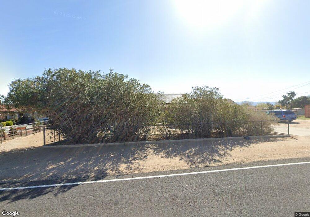
10311 Locust Ave Hesperia, CA 92345
Lucky Star Ranchos NeighborhoodEstimated Value: $387,585 - $436,000
3
Beds
2
Baths
1,841
Sq Ft
$229/Sq Ft
Est. Value
About This Home
This home is located at 10311 Locust Ave, Hesperia, CA 92345 and is currently estimated at $421,896, approximately $229 per square foot. 10311 Locust Ave is a home located in San Bernardino County with nearby schools including Joshua Circle Elementary School, Hesperia Junior High School, and Hesperia High School.
Ownership History
Date
Name
Owned For
Owner Type
Purchase Details
Closed on
Mar 10, 2025
Sold by
Morris Judie G
Bought by
Morris Judie G and Eiswert Rachel Lenore
Current Estimated Value
Purchase Details
Closed on
Apr 9, 1997
Sold by
Culling Keith A W and Culling Claudia R
Bought by
Morris Calvin and Morris Judie G
Purchase Details
Closed on
Apr 28, 1995
Sold by
Fuquay Gary R
Bought by
Medallion Mtg Company
Create a Home Valuation Report for This Property
The Home Valuation Report is an in-depth analysis detailing your home's value as well as a comparison with similar homes in the area
Home Values in the Area
Average Home Value in this Area
Purchase History
| Date | Buyer | Sale Price | Title Company |
|---|---|---|---|
| Morris Judie G | -- | None Listed On Document | |
| Morris Calvin | $11,500 | First American Title Ins Co | |
| Medallion Mtg Company | $103,176 | First American Title Ins Co |
Source: Public Records
Tax History Compared to Growth
Tax History
| Year | Tax Paid | Tax Assessment Tax Assessment Total Assessment is a certain percentage of the fair market value that is determined by local assessors to be the total taxable value of land and additions on the property. | Land | Improvement |
|---|---|---|---|---|
| 2025 | $1,252 | $116,920 | $28,240 | $88,680 |
| 2024 | $1,252 | $114,627 | $27,686 | $86,941 |
| 2023 | $1,237 | $112,379 | $27,143 | $85,236 |
| 2022 | $1,208 | $110,176 | $26,611 | $83,565 |
| 2021 | $1,185 | $108,015 | $26,089 | $81,926 |
| 2020 | $1,171 | $106,907 | $25,821 | $81,086 |
| 2019 | $1,146 | $104,811 | $25,315 | $79,496 |
| 2018 | $1,124 | $102,756 | $24,819 | $77,937 |
| 2017 | $1,103 | $100,741 | $24,332 | $76,409 |
| 2016 | $1,079 | $98,766 | $23,855 | $74,911 |
| 2015 | $1,065 | $97,283 | $23,497 | $73,786 |
| 2014 | $1,050 | $95,378 | $23,037 | $72,341 |
Source: Public Records
Map
Nearby Homes
- 15063 Mauna Loa St
- 15352 Linden St
- 15018 Live Oak St
- 10352 Lincoln Ave
- 15408 Riverside St
- 10373 Oakwood Ave
- 14804 Live Oak St
- 10723 Portland Ave
- 9967 Cottonwood Ave
- 15447 Willow St
- 10219 Victor Ave
- 10784 Kern Ave
- 9925 Redwood Ave
- 10393 Hemlock Ave
- 10401 Hemlock Ave
- 10657 Pinon Ave
- 10671 Pinon Ave
- 10004 Oakwood Ave
- 14980 Pendleton St
- 10421 Shangri la Ave
- 10327 Locust Ave
- 10312 Portland Ave
- 10341 Locust Ave
- 10277 Locust Ave
- 10328 Portland Ave
- 10292 Portland Ave
- 10312 Locust Ave
- 10292 Locust Ave
- 10328 Locust Ave
- 10342 Portland Ave
- 10278 Portland Ave
- 10357 Locust Ave
- 10261 Locust Ave
- 10342 Locust Ave
- 10278 Locust Ave
- 10358 Portland Ave
- 10262 Portland Ave
- 10262 Locust Ave
- 10350 Locust Ave
- 10373 Locust Ave