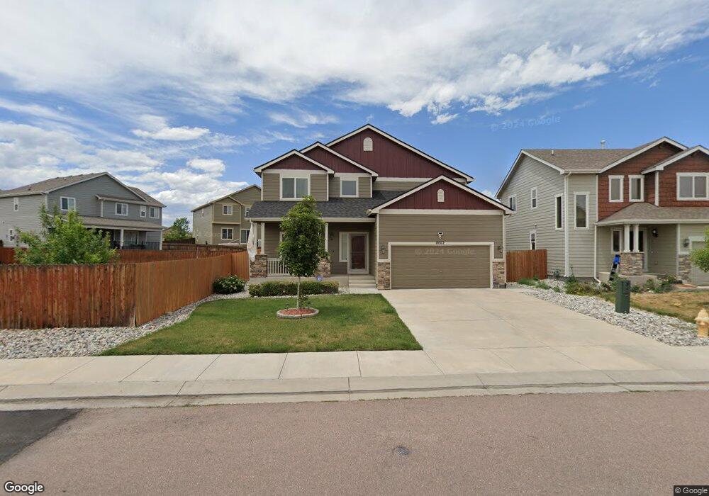
10312 Declaration Dr Colorado Springs, CO 80925
Widefield NeighborhoodEstimated Value: $466,000 - $497,000
3
Beds
4
Baths
1,940
Sq Ft
$247/Sq Ft
Est. Value
About This Home
This home is located at 10312 Declaration Dr, Colorado Springs, CO 80925 and is currently estimated at $479,375, approximately $247 per square foot. 10312 Declaration Dr is a home located in El Paso County with nearby schools including Grand Mountain School, Mesa Ridge High School, and Valley Christian Academy.
Ownership History
Date
Name
Owned For
Owner Type
Purchase Details
Closed on
Jun 9, 2019
Sold by
Brown Keith and Brown Lee Anne
Bought by
Vankirk Cameron R
Current Estimated Value
Home Financials for this Owner
Home Financials are based on the most recent Mortgage that was taken out on this home.
Original Mortgage
$357,422
Outstanding Balance
$314,261
Interest Rate
4.1%
Mortgage Type
VA
Estimated Equity
$165,114
Purchase Details
Closed on
Jul 18, 2013
Sold by
Saint Aubyn Homes Llc
Bought by
Brown Keith and Brown Lee Anne
Home Financials for this Owner
Home Financials are based on the most recent Mortgage that was taken out on this home.
Original Mortgage
$269,623
Interest Rate
3.99%
Mortgage Type
VA
Create a Home Valuation Report for This Property
The Home Valuation Report is an in-depth analysis detailing your home's value as well as a comparison with similar homes in the area
Home Values in the Area
Average Home Value in this Area
Purchase History
| Date | Buyer | Sale Price | Title Company |
|---|---|---|---|
| Vankirk Cameron R | $349,900 | Legacy Title Group | |
| Brown Keith | $261,000 | Heritage Title |
Source: Public Records
Mortgage History
| Date | Status | Borrower | Loan Amount |
|---|---|---|---|
| Open | Vankirk Cameron R | $357,422 | |
| Previous Owner | Brown Keith | $269,623 |
Source: Public Records
Tax History Compared to Growth
Tax History
| Year | Tax Paid | Tax Assessment Tax Assessment Total Assessment is a certain percentage of the fair market value that is determined by local assessors to be the total taxable value of land and additions on the property. | Land | Improvement |
|---|---|---|---|---|
| 2025 | $4,505 | $32,500 | -- | -- |
| 2024 | $4,462 | $33,640 | $6,040 | $27,600 |
| 2022 | $3,318 | $23,970 | $4,810 | $19,160 |
| 2021 | $3,455 | $24,660 | $4,950 | $19,710 |
| 2020 | $3,387 | $23,920 | $4,330 | $19,590 |
| 2019 | $3,376 | $23,920 | $4,330 | $19,590 |
| 2018 | $3,096 | $21,600 | $4,360 | $17,240 |
| 2017 | $2,789 | $21,600 | $4,360 | $17,240 |
| 2016 | $2,606 | $20,140 | $4,380 | $15,760 |
| 2015 | $2,746 | $20,140 | $4,380 | $15,760 |
| 2014 | $2,734 | $20,140 | $4,290 | $15,850 |
Source: Public Records
Map
Nearby Homes
- 10202 Abrams Dr
- 10208 Abrams Dr
- 10868 Deer Meadow Cir
- 10732 Deer Meadow Cir
- 10179 Seawolf Dr
- 6572 Justice Way
- 10394 Abrams Dr
- 10405 Abrams Dr
- 10250 Intrepid Way
- 6225 Laurel Grass Range Trail
- 6441 Old Glory Dr
- 10604 Deer Meadow Cir
- 6431 Old Glory Dr
- 10188 Winter Gem Grove
- 6562 Phantom Way
- 6035 White Wolf Point
- 10442 Abrams Dr
- 6071 Old Glory Dr
- 6672 Kearsarge Dr
- 6241 Old Glory Dr
- 10318 Declaration Dr
- 10201 Abrams Dr
- 10324 Declaration Dr
- 10237 Abrams Dr
- 10237R Abrams Dr
- 10249 Abrams Dr
- 10207 Abrams Dr
- 10255 Abrams Dr
- 10330 Declaration Dr
- 10323 Declaration Dr
- 10317 Declaration Dr
- 10267 Abrams Dr
- 10315 Declaration Dr
- 10273 Abrams Dr
- 10329 Declaration Dr
- 6440 Nassau Trail
- 6430 Nassau Trail
- 10256 Abrams Dr
- 10250 Abrams Dr
- 10238 Abrams Dr