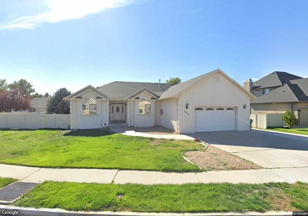
10313 N 6530 W Highland, UT 84003
Estimated Value: $828,000 - $930,000
6
Beds
4
Baths
4,056
Sq Ft
$213/Sq Ft
Est. Value
About This Home
This home is located at 10313 N 6530 W, Highland, UT 84003 and is currently estimated at $863,258, approximately $212 per square foot. 10313 N 6530 W is a home located in Utah County with nearby schools including Freedom Elementary School, Mountain Ridge Junior High School, and American Fork High School.
Ownership History
Date
Name
Owned For
Owner Type
Purchase Details
Closed on
Nov 5, 2020
Sold by
Watts Tessa
Bought by
Munoz John A
Current Estimated Value
Purchase Details
Closed on
Oct 30, 2020
Sold by
Watts Daniel
Bought by
Watts Tessa
Purchase Details
Closed on
Jan 7, 2016
Sold by
Watts Daniel and Watts Tessa
Bought by
Watts Daniel and Watts Tessa
Home Financials for this Owner
Home Financials are based on the most recent Mortgage that was taken out on this home.
Original Mortgage
$281,550
Interest Rate
3.9%
Mortgage Type
New Conventional
Purchase Details
Closed on
May 27, 2010
Sold by
Jacobsen Kimberly
Bought by
Watts Daniel and Watts Tiffany
Home Financials for this Owner
Home Financials are based on the most recent Mortgage that was taken out on this home.
Original Mortgage
$305,189
Interest Rate
4.75%
Mortgage Type
FHA
Purchase Details
Closed on
Dec 26, 2002
Sold by
Morris Kenneth S and Morris Karlie S
Bought by
Morris Kenneth S and Morris Karlie S
Home Financials for this Owner
Home Financials are based on the most recent Mortgage that was taken out on this home.
Original Mortgage
$201,500
Interest Rate
5.86%
Purchase Details
Closed on
Mar 14, 2002
Sold by
Morris Kenneth S and Morris Karlie S
Bought by
Morris Kenneth S and Morris Karlie S
Home Financials for this Owner
Home Financials are based on the most recent Mortgage that was taken out on this home.
Original Mortgage
$198,700
Interest Rate
6.85%
Purchase Details
Closed on
Aug 31, 2001
Sold by
Morris Kenneth S and Morris Karlie S
Bought by
Morris Kenneth S and Morris Karlie S
Home Financials for this Owner
Home Financials are based on the most recent Mortgage that was taken out on this home.
Original Mortgage
$20,000
Interest Rate
7.05%
Mortgage Type
Credit Line Revolving
Purchase Details
Closed on
Mar 19, 2001
Sold by
Morris Kenneth S and Morris Karlie S
Bought by
Morris Kenneth S and Morris Karlie S
Home Financials for this Owner
Home Financials are based on the most recent Mortgage that was taken out on this home.
Original Mortgage
$175,000
Interest Rate
7.5%
Mortgage Type
Construction
Purchase Details
Closed on
Jan 11, 1999
Sold by
Morris Kenneth S and Morris Karlie S
Bought by
Morris Kenneth S and Morris Karlie S
Create a Home Valuation Report for This Property
The Home Valuation Report is an in-depth analysis detailing your home's value as well as a comparison with similar homes in the area
Home Values in the Area
Average Home Value in this Area
Purchase History
| Date | Buyer | Sale Price | Title Company |
|---|---|---|---|
| Munoz John A | -- | Title Guarantee River Park | |
| Watts Tessa | -- | Title Guarantee River Park | |
| Watts Daniel | -- | Silk Title Utah Llc | |
| Watts Daniel | -- | Bonneville Superior Title C | |
| Morris Kenneth S | -- | Signature Title | |
| Morris Kenneth S | -- | Signature Title | |
| Morris Kenneth S | -- | Signature Title Ins Agency I | |
| Morris Kenneth S | -- | Signature Title Ins Agency I | |
| Morris Kenneth S | -- | Provo Land Title Company | |
| Morris Kenneth S | -- | Provo Land Title Company | |
| Morris Kenneth S | -- | Signature Title Ins Agency I | |
| Morris Kenneth S | -- | Signature Title Insurance Ag | |
| Morris Kenneth S | -- | -- |
Source: Public Records
Mortgage History
| Date | Status | Borrower | Loan Amount |
|---|---|---|---|
| Previous Owner | Watts Daniel | $281,550 | |
| Previous Owner | Watts Daniel | $305,189 | |
| Previous Owner | Morris Kenneth S | $201,500 | |
| Previous Owner | Morris Kenneth S | $198,700 | |
| Previous Owner | Morris Kenneth S | $20,000 | |
| Previous Owner | Morris Kenneth S | $175,000 |
Source: Public Records
Tax History Compared to Growth
Tax History
| Year | Tax Paid | Tax Assessment Tax Assessment Total Assessment is a certain percentage of the fair market value that is determined by local assessors to be the total taxable value of land and additions on the property. | Land | Improvement |
|---|---|---|---|---|
| 2025 | $3,419 | $463,100 | $340,000 | $502,000 |
| 2024 | $3,419 | $422,290 | $0 | $0 |
| 2023 | $3,218 | $428,725 | $0 | $0 |
| 2022 | $3,206 | $414,150 | $0 | $0 |
| 2021 | $2,852 | $548,800 | $181,500 | $367,300 |
| 2020 | $2,617 | $493,800 | $157,800 | $336,000 |
| 2019 | $2,467 | $487,000 | $157,800 | $329,200 |
| 2018 | $2,374 | $445,400 | $151,200 | $294,200 |
| 2017 | $2,241 | $224,455 | $0 | $0 |
| 2016 | $2,228 | $208,505 | $0 | $0 |
| 2015 | $2,310 | $204,930 | $0 | $0 |
| 2014 | $2,227 | $195,855 | $0 | $0 |
Source: Public Records
Map
Nearby Homes
- 6399 W 10150 N
- 10434 N 6400 W
- 6372 W 10400 N
- 6373 W 10500 N
- 9967 N 6670 W
- 9924 N 6630 W Unit 9
- 6190 W 10050 N
- 6692 W 9770 N
- 6271 W 10830 St N
- 11337 N 5950 W Unit 7
- 1602 E Center Pointe Dr
- 1602 E Center Pointe Dr Unit 1
- 1610 E Center Pointe Dr
- 5973 W 9960 N
- 9780 N 6000 W
- 10818 N 6000 W
- 1438 N 400 W
- 10197 N 5750 W
- 975 E 2125 N
- 975 E 2850 N
- 10329 N 6530 W
- 6548 W 10300 N
- 6572 W 10300 N
- 6537 W 10300 N
- 6543 W 10300 N
- 10318 N 6530 W
- 10308 N 6530 W
- 10308 N 6530 W Unit 236
- 10328 N 6530 W
- 10328 N 6530 W Unit 234
- 10361 N 6530 W
- 10361 N 6530 W Unit 219
- 6558 W 10300 N
- 10348 N 6530 W
- 6551 W 10300 N
- 6527 W 10300 N
- 6538 W 10250 N
- 6526 W 10250 N
- 6533 W 10380 N
- 6533 W 10380 N Unit 220