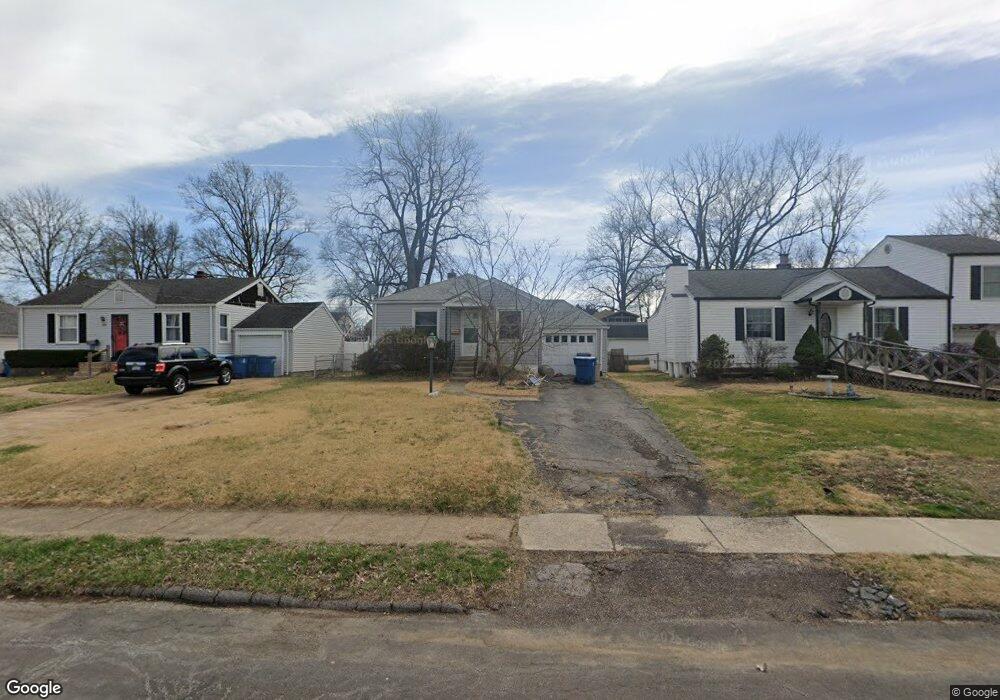
10318 Driver Ave Saint Louis, MO 63114
Estimated Value: $140,098 - $153,000
3
Beds
1
Bath
1,032
Sq Ft
$143/Sq Ft
Est. Value
About This Home
This home is located at 10318 Driver Ave, Saint Louis, MO 63114 and is currently estimated at $147,775, approximately $143 per square foot. 10318 Driver Ave is a home located in St. Louis County with nearby schools including Iveland Elementary School, Hoech Middle School, and Ritenour Senior High School.
Ownership History
Date
Name
Owned For
Owner Type
Purchase Details
Closed on
Sep 29, 1999
Sold by
Klickman Marianne
Bought by
Zemblidge Phillip Wayne
Current Estimated Value
Home Financials for this Owner
Home Financials are based on the most recent Mortgage that was taken out on this home.
Original Mortgage
$46,550
Outstanding Balance
$14,012
Interest Rate
8.02%
Estimated Equity
$133,763
Create a Home Valuation Report for This Property
The Home Valuation Report is an in-depth analysis detailing your home's value as well as a comparison with similar homes in the area
Home Values in the Area
Average Home Value in this Area
Purchase History
| Date | Buyer | Sale Price | Title Company |
|---|---|---|---|
| Zemblidge Phillip Wayne | $49,000 | -- |
Source: Public Records
Mortgage History
| Date | Status | Borrower | Loan Amount |
|---|---|---|---|
| Open | Zemblidge Phillip Wayne | $46,550 |
Source: Public Records
Tax History
| Year | Tax Paid | Tax Assessment Tax Assessment Total Assessment is a certain percentage of the fair market value that is determined by local assessors to be the total taxable value of land and additions on the property. | Land | Improvement |
|---|---|---|---|---|
| 2025 | $1,709 | $26,300 | $7,050 | $19,250 |
| 2024 | $1,709 | $19,870 | $3,230 | $16,640 |
| 2023 | $1,671 | $19,870 | $3,230 | $16,640 |
| 2022 | $1,554 | $16,190 | $2,810 | $13,380 |
| 2021 | $1,553 | $16,190 | $2,810 | $13,380 |
| 2020 | $1,487 | $14,290 | $3,190 | $11,100 |
| 2019 | $1,471 | $14,290 | $3,190 | $11,100 |
| 2018 | $1,550 | $13,570 | $2,830 | $10,740 |
| 2017 | $1,479 | $13,570 | $2,830 | $10,740 |
| 2016 | $1,389 | $12,980 | $3,590 | $9,390 |
Source: Public Records
Map
Nearby Homes
- 10416 Lackland Rd
- 10276 Niblic
- 10239 Driver Ave
- 1735 O Connell Ave
- 1805 Uceyle Ave
- 10111 Niblic Dr
- 10107 Niblic Dr
- 10027 Lackland Rd
- 10510 Briston Ct Unit 1C
- 10518 Briston Ct
- 10000 Lackland Rd
- 2412 Silkwood Dr
- 1940 Stedman Ct
- 10500 Silkwood Ct
- 2454 Prouhet Ave
- 9913 Zykan Ct
- 10201 Midland Blvd
- 2440 Chaucer Ave
- 9822 Zykan Dr
- 1914 Overland Dr
- 10316 Driver Ave
- 10320 Driver Ave
- 10322 Driver Ave
- 10312 Driver Ave
- 10324 Driver Ave
- 10333 Lackland Rd
- 10335 Lackland Rd
- 10331 Lackland Rd
- 10337 Lackland Rd
- 10310 Driver Ave
- 10319 Driver Ave
- 10329 Lackland Rd
- 10326 Driver Ave
- 10317 Driver Ave
- 10321 Driver Ave
- 10339 Lackland Rd
- 10315 Driver Ave
- 10323 Driver Ave
- 10313 Driver Ave
- 10308 Driver Ave
Your Personal Tour Guide
Ask me questions while you tour the home.