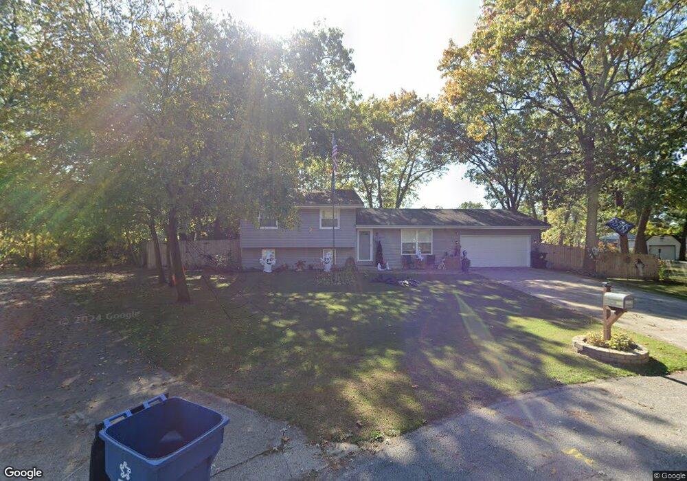
10318 N 462 E Unit 20 Demotte, IN 46310
Estimated Value: $254,000 - $320,000
3
Beds
2
Baths
1,654
Sq Ft
$173/Sq Ft
Est. Value
About This Home
This home is located at 10318 N 462 E Unit 20, Demotte, IN 46310 and is currently estimated at $285,500, approximately $172 per square foot. 10318 N 462 E Unit 20 is a home located in Newton County with nearby schools including North Newton Junior/Senior High School.
Ownership History
Date
Name
Owned For
Owner Type
Purchase Details
Closed on
Jun 10, 2019
Sold by
Bultema Richard
Bought by
Brittingham William R
Current Estimated Value
Home Financials for this Owner
Home Financials are based on the most recent Mortgage that was taken out on this home.
Original Mortgage
$165,938
Outstanding Balance
$145,604
Interest Rate
4%
Mortgage Type
FHA
Estimated Equity
$139,896
Create a Home Valuation Report for This Property
The Home Valuation Report is an in-depth analysis detailing your home's value as well as a comparison with similar homes in the area
Home Values in the Area
Average Home Value in this Area
Purchase History
| Date | Buyer | Sale Price | Title Company |
|---|---|---|---|
| Brittingham William R | -- | -- |
Source: Public Records
Mortgage History
| Date | Status | Borrower | Loan Amount |
|---|---|---|---|
| Open | Brittingham William R | $165,938 |
Source: Public Records
Tax History Compared to Growth
Tax History
| Year | Tax Paid | Tax Assessment Tax Assessment Total Assessment is a certain percentage of the fair market value that is determined by local assessors to be the total taxable value of land and additions on the property. | Land | Improvement |
|---|---|---|---|---|
| 2024 | $1,766 | $226,800 | $23,900 | $202,900 |
| 2023 | $1,694 | $208,600 | $23,900 | $184,700 |
| 2022 | $1,700 | $183,000 | $23,900 | $159,100 |
| 2021 | $1,619 | $171,000 | $21,500 | $149,500 |
| 2020 | $1,472 | $151,700 | $21,500 | $130,200 |
| 2019 | $1,303 | $143,600 | $22,600 | $121,000 |
| 2018 | $1,162 | $135,100 | $22,600 | $112,500 |
| 2017 | $1,128 | $135,800 | $17,300 | $118,500 |
| 2016 | $1,055 | $130,100 | $17,300 | $112,800 |
| 2014 | $799 | $119,400 | $20,500 | $98,900 |
| 2013 | $799 | $112,900 | $20,500 | $92,400 |
Source: Public Records
Map
Nearby Homes
- 10447 N 477 E
- 9691 N Ahlgrim St
- 5338 E Lawler Ct Unit 67
- 10955 NW Makeever Dr
- 10901 N 555 E
- 11327 N 550 E Unit 7
- 10792 N 600 E
- 9606 Candlewick Rd W
- 0 St Road 55
- 29.029 Acres E 900 N
- 2790 E 1059 N
- 10603 Georgetown Dr
- 7809 N 1200 W
- 2555 E 1071 N
- 11546 Georgetown Dr
- 2549 E 1100 N
- 11565 Sherwood Dr
- 11535 Sandhill Trail
- 11404 Chateau Ln
- 9260 N 225 E
- 10318 N 462 E
- 10330 N 462 E
- 10330 N 462 E Unit 19
- 4610 E 1022 N
- 10315 N 462 E
- 10331 N 462 E
- 4632 E 1022 N
- 4584 E 1022 N
- 4563 E 1029 N
- 4568 E 1029 N
- 0 E 1022 Rd Unit 1808945
- Lot 31 E 1022 N
- 10347 N 462 E
- 4562 E 1022 N
- 10352 N 462 E
- 4547 E 1029 N
- 10201 N 457 E
- 10202 N 464 E
- 10367 N 462 E
- 4560 E 1029 N