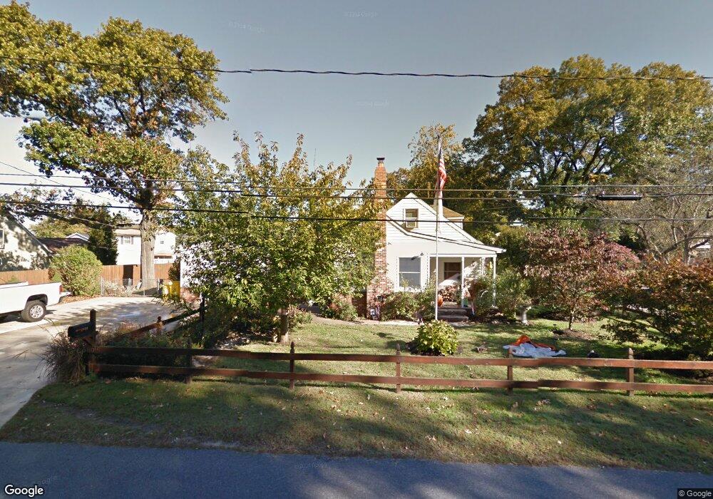
1032 7th St Glen Burnie, MD 21060
Estimated Value: $350,268 - $460,000
--
Bed
1
Bath
1,250
Sq Ft
$328/Sq Ft
Est. Value
About This Home
This home is located at 1032 7th St, Glen Burnie, MD 21060 and is currently estimated at $410,567, approximately $328 per square foot. 1032 7th St is a home located in Anne Arundel County with nearby schools including Point Pleasant Elementary School, Marley Middle School, and Glen Burnie High School.
Ownership History
Date
Name
Owned For
Owner Type
Purchase Details
Closed on
Aug 17, 2001
Sold by
Thiess Richard M
Bought by
Thiess Richard M and Thiess Angela E
Current Estimated Value
Purchase Details
Closed on
Dec 14, 1992
Sold by
Hyson Stanley E
Bought by
Thiess Richard M
Home Financials for this Owner
Home Financials are based on the most recent Mortgage that was taken out on this home.
Original Mortgage
$100,150
Interest Rate
8.23%
Create a Home Valuation Report for This Property
The Home Valuation Report is an in-depth analysis detailing your home's value as well as a comparison with similar homes in the area
Home Values in the Area
Average Home Value in this Area
Purchase History
| Date | Buyer | Sale Price | Title Company |
|---|---|---|---|
| Thiess Richard M | -- | -- | |
| Thiess Richard M | $100,000 | -- |
Source: Public Records
Mortgage History
| Date | Status | Borrower | Loan Amount |
|---|---|---|---|
| Previous Owner | Thiess Richard M | $100,150 |
Source: Public Records
Tax History Compared to Growth
Tax History
| Year | Tax Paid | Tax Assessment Tax Assessment Total Assessment is a certain percentage of the fair market value that is determined by local assessors to be the total taxable value of land and additions on the property. | Land | Improvement |
|---|---|---|---|---|
| 2025 | $2,538 | $321,500 | $179,700 | $141,800 |
| 2024 | $2,538 | $296,533 | $0 | $0 |
| 2023 | $2,443 | $271,567 | $0 | $0 |
| 2022 | $2,261 | $246,600 | $139,200 | $107,400 |
| 2021 | $4,459 | $245,667 | $0 | $0 |
| 2020 | $2,157 | $244,733 | $0 | $0 |
| 2019 | $2,128 | $243,800 | $129,200 | $114,600 |
| 2018 | $2,292 | $226,033 | $0 | $0 |
| 2017 | $1,985 | $208,267 | $0 | $0 |
| 2016 | $294 | $190,500 | $0 | $0 |
| 2015 | $294 | $190,500 | $0 | $0 |
| 2014 | -- | $190,500 | $0 | $0 |
Source: Public Records
Map
Nearby Homes
- 1017 4th St
- 1011 4th St
- 1531 Furnace Ave
- 1026 Twin View
- 7195 Wolf Trap Ct
- 906 Silver Maple Ct
- 1319 Meadowvale Rd
- 1125 Wynbrook Rd
- 907 Princeton Terrace
- 352 Gatewater Ct Unit A
- 7205 Sprouse Ct
- 900 Princeton Terrace
- Caroline Plan at Tanyard Shores - 55+ Villas
- 7508 Blue Sun Dr
- 824 Teacher Mitchell Rd
- 202 Hollywood Ct
- 210 Hollywood Ct
- 7664 Quartzite Ln
- 7601 Chert Ct
- 136 Margate Dr