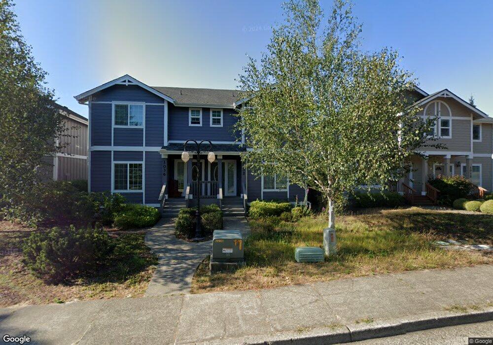
1032 9th St Florence, OR 97439
Estimated Value: $359,755 - $588,000
2
Beds
2
Baths
1,280
Sq Ft
$332/Sq Ft
Est. Value
About This Home
This home is located at 1032 9th St, Florence, OR 97439 and is currently estimated at $424,439, approximately $331 per square foot. 1032 9th St is a home located in Lane County with nearby schools including Siuslaw Elementary School, Siuslaw Middle School, and Siuslaw High School.
Ownership History
Date
Name
Owned For
Owner Type
Purchase Details
Closed on
Mar 30, 2006
Sold by
Finished Wall Construction Inc
Bought by
Gullo Bryan T and Gullo Julianne N
Current Estimated Value
Home Financials for this Owner
Home Financials are based on the most recent Mortgage that was taken out on this home.
Original Mortgage
$273,000
Outstanding Balance
$154,143
Interest Rate
6.25%
Mortgage Type
Fannie Mae Freddie Mac
Estimated Equity
$270,296
Create a Home Valuation Report for This Property
The Home Valuation Report is an in-depth analysis detailing your home's value as well as a comparison with similar homes in the area
Home Values in the Area
Average Home Value in this Area
Purchase History
| Date | Buyer | Sale Price | Title Company |
|---|---|---|---|
| Gullo Bryan T | $390,000 | Western Title & Escrow Co |
Source: Public Records
Mortgage History
| Date | Status | Borrower | Loan Amount |
|---|---|---|---|
| Open | Gullo Bryan T | $273,000 |
Source: Public Records
Tax History
| Year | Tax Paid | Tax Assessment Tax Assessment Total Assessment is a certain percentage of the fair market value that is determined by local assessors to be the total taxable value of land and additions on the property. | Land | Improvement |
|---|---|---|---|---|
| 2025 | $2,993 | $219,340 | -- | -- |
| 2024 | $2,906 | $212,952 | -- | -- |
| 2023 | $2,906 | $206,750 | $0 | $0 |
| 2022 | $2,711 | $200,729 | $0 | $0 |
| 2021 | $2,656 | $194,883 | $0 | $0 |
| 2020 | $2,586 | $189,207 | $0 | $0 |
| 2019 | $2,489 | $183,697 | $0 | $0 |
| 2018 | $2,494 | $173,152 | $0 | $0 |
| 2017 | $2,406 | $173,152 | $0 | $0 |
| 2016 | $2,283 | $168,109 | $0 | $0 |
| 2015 | $2,134 | $156,017 | $0 | $0 |
| 2014 | $2,166 | $155,375 | $0 | $0 |
Source: Public Records
Map
Nearby Homes
- 1036 9th St
- 1260 10th St Unit 5
- 1150 Hemlock St Unit C11
- 1150 Hemlock St Unit E17
- 1150 Hemlock St Unit D14
- 1335 7th St
- 1495 8th St
- 1265 Laurel St
- 0 Hemlock St Unit 24176357
- 0 Hemlock St Unit 23650308
- 0 Hemlock St Unit 583848803
- 1695947 4th St
- 1184 2nd St
- 1070 Bay St Unit 22
- 1040 Bay St Unit 14
- 1080 Bay St Unit 19
- 289 Harbor St
- 100 Rhododendron Dr
- 179 Laurel St Unit 9
- 290 Harbor St
Your Personal Tour Guide
Ask me questions while you tour the home.