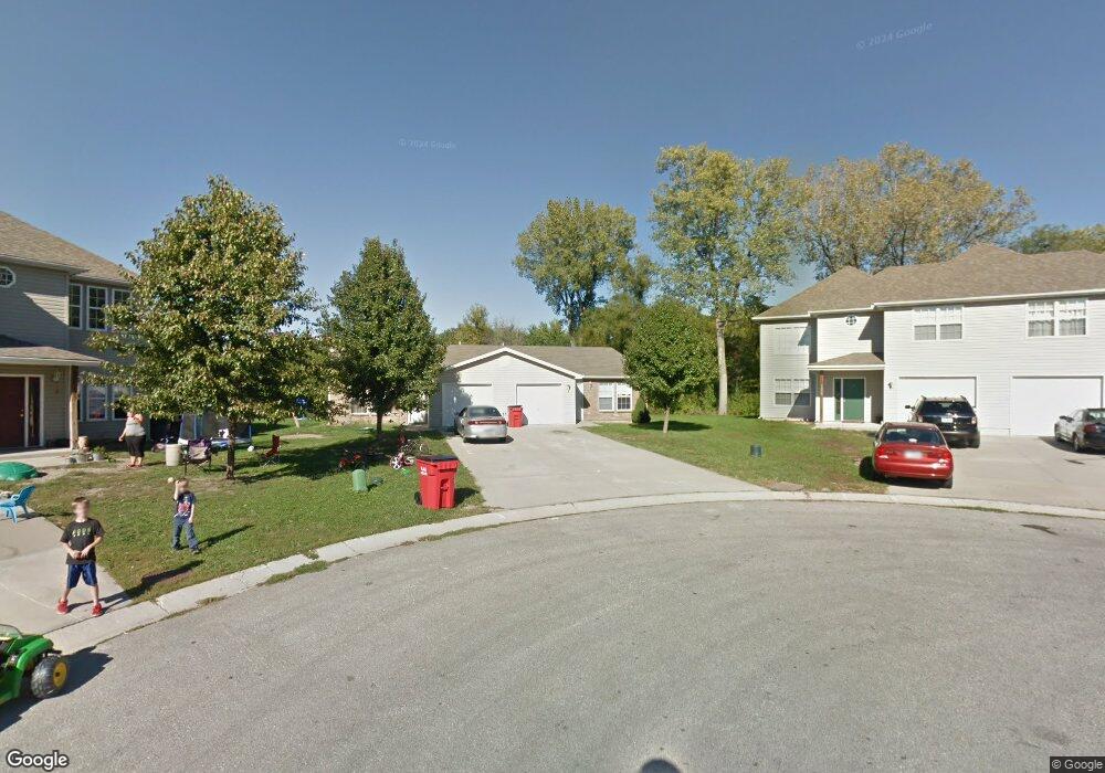
1032 Dean Dr Grain Valley, MO 64029
Estimated Value: $288,000 - $351,000
4
Beds
2
Baths
1,888
Sq Ft
$166/Sq Ft
Est. Value
About This Home
This home is located at 1032 Dean Dr, Grain Valley, MO 64029 and is currently estimated at $312,776, approximately $165 per square foot. 1032 Dean Dr is a home with nearby schools including Grain Valley High School.
Ownership History
Date
Name
Owned For
Owner Type
Purchase Details
Closed on
Jun 13, 2024
Sold by
Norton Brittney and Davis Caleb
Bought by
Suchomel Joann
Current Estimated Value
Purchase Details
Closed on
Apr 5, 2022
Sold by
Valley Kc Investments Llc
Bought by
Davis Caleb and Norton Brittney
Home Financials for this Owner
Home Financials are based on the most recent Mortgage that was taken out on this home.
Original Mortgage
$189,000
Interest Rate
4.67%
Purchase Details
Closed on
Aug 15, 2018
Sold by
Fisher Chad and Fisher Emily
Bought by
Norton Brittany
Home Financials for this Owner
Home Financials are based on the most recent Mortgage that was taken out on this home.
Original Mortgage
$169,866
Interest Rate
4.5%
Mortgage Type
FHA
Purchase Details
Closed on
Dec 9, 2003
Sold by
Risinger Chad J
Bought by
Fisher Chad and Fisher Emily
Home Financials for this Owner
Home Financials are based on the most recent Mortgage that was taken out on this home.
Original Mortgage
$109,600
Interest Rate
5.84%
Mortgage Type
Purchase Money Mortgage
Create a Home Valuation Report for This Property
The Home Valuation Report is an in-depth analysis detailing your home's value as well as a comparison with similar homes in the area
Home Values in the Area
Average Home Value in this Area
Purchase History
| Date | Buyer | Sale Price | Title Company |
|---|---|---|---|
| Suchomel Joann | -- | None Listed On Document | |
| Davis Caleb | -- | None Listed On Document | |
| Norton Brittany | -- | None Available | |
| Fisher Chad | -- | -- |
Source: Public Records
Mortgage History
| Date | Status | Borrower | Loan Amount |
|---|---|---|---|
| Previous Owner | Davis Caleb | $189,000 | |
| Previous Owner | Norton Brittany | $169,866 | |
| Previous Owner | Fisher Chad | $109,600 | |
| Closed | Fisher Chad | $27,400 |
Source: Public Records
Tax History Compared to Growth
Tax History
| Year | Tax Paid | Tax Assessment Tax Assessment Total Assessment is a certain percentage of the fair market value that is determined by local assessors to be the total taxable value of land and additions on the property. | Land | Improvement |
|---|---|---|---|---|
| 2025 | $3,372 | $46,235 | $7,224 | $39,011 |
| 2024 | $3,246 | $40,941 | $7,912 | $33,029 |
| 2023 | $3,246 | $40,941 | $6,308 | $34,633 |
| 2022 | $3,169 | $34,960 | $3,877 | $31,083 |
| 2021 | $3,095 | $34,960 | $3,877 | $31,083 |
| 2020 | $2,745 | $30,588 | $3,877 | $26,711 |
| 2019 | $2,690 | $30,588 | $3,877 | $26,711 |
| 2018 | $1,558,033 | $26,621 | $3,374 | $23,247 |
| 2017 | $2,505 | $26,621 | $3,374 | $23,247 |
| 2016 | $2,441 | $25,954 | $5,776 | $20,178 |
| 2014 | $2,184 | $23,047 | $6,108 | $16,939 |
Source: Public Records
Map
Nearby Homes
- 1024 Christie Ln
- 200 Cross Creek Ln
- 209 SW Cross Creek Dr
- 207 Pebblebrook St
- 1418 SW Blue Branch Dr
- 509 SW Joseph Ct
- 401 S Minter Rd
- 636 SW Lakeview Dr
- 725 SW Tisha Ln
- 1235 NW Ashley Ln
- 1215 SW Lone Star Ct
- 640 SW Crestview Dr
- 518 South St
- 1229 NW Ashley Dr
- 714 SW Brome Dr
- 1214 SW Windcrest Ct
- 1007 NW Long Dr
- 506 SW Meadowood Dr
- 512 Broadway St
- 605 NW Silverstone Cir
- 1028 Dean Dr
- 1036 Dean Dr
- 1011 SW Blue Branch Dr
- 1040 Dean Dr
- 1103 SW Blue Branch Dr
- 1031 Dean Dr
- 1105 SW Blue Branch Dr
- 1035 Dean Dr
- 1035 Dean Dr
- 1042 Dean Dr
- 1037 Dean Dr
- 1101 SW Blue Branch Dr
- 1039 Dean Dr
- 1100 Dean Dr
- 1009 SW Blue Branch Dr
- 1041 Dean Dr
- 1107 SW Blue Branch Dr
- 1102 Dean Dr
- 1032 SW Ephraim Dr
- 1101 Dean Dr