1032 Ironsides Ave Melbourne, FL 32940
Estimated Value: $296,000 - $343,528
2
Beds
2
Baths
1,890
Sq Ft
$171/Sq Ft
Est. Value
About This Home
This home is located at 1032 Ironsides Ave, Melbourne, FL 32940 and is currently estimated at $324,132, approximately $171 per square foot. 1032 Ironsides Ave is a home located in Brevard County with nearby schools including Quest Elementary School, John F. Kennedy Middle School, and Pinecrest Academy Space Coast.
Ownership History
Date
Name
Owned For
Owner Type
Purchase Details
Closed on
Aug 2, 2017
Sold by
Donnay Marguerite Melissa
Bought by
Rlt Donnay Marguerite Melissa and Rlt Marguerite Melissa Donnay
Current Estimated Value
Purchase Details
Closed on
Feb 15, 2007
Sold by
Nace D Kenneth and Nace Melba
Bought by
Donnay Marguerite M
Purchase Details
Closed on
Jun 18, 2003
Sold by
Gray Sarah M and Moon Susannah M
Bought by
Nace D Kenneth and Nace Melba
Purchase Details
Closed on
Dec 20, 1996
Sold by
Fried Florence H
Bought by
Madden James P
Create a Home Valuation Report for This Property
The Home Valuation Report is an in-depth analysis detailing your home's value as well as a comparison with similar homes in the area
Home Values in the Area
Average Home Value in this Area
Purchase History
We collect this data history from publicly available records. To have your information removed, we recommend requesting removal directly through your county’s website.
| Date | Buyer | Sale Price | Title Company |
|---|---|---|---|
| Rlt Donnay Marguerite Melissa | -- | Attorney | |
| Donnay Marguerite M | $192,500 | Security First Title Partner | |
| Nace D Kenneth | $90,000 | -- | |
| Madden James P | $127,500 | -- |
Source: Public Records
Tax History
| Year | Tax Paid | Tax Assessment Tax Assessment Total Assessment is a certain percentage of the fair market value that is determined by local assessors to be the total taxable value of land and additions on the property. | Land | Improvement |
|---|---|---|---|---|
| 2025 | $1,201 | $100,920 | -- | -- |
| 2024 | $1,162 | $98,080 | -- | -- |
| 2023 | $1,162 | $95,230 | $0 | $0 |
| 2022 | $1,107 | $92,460 | $0 | $0 |
| 2021 | $1,104 | $89,770 | $0 | $0 |
| 2020 | $1,027 | $88,540 | $0 | $0 |
| 2019 | $963 | $86,550 | $0 | $0 |
| 2018 | $1,090 | $84,940 | $0 | $0 |
| 2017 | $1,077 | $83,200 | $0 | $0 |
| 2016 | $1,077 | $81,490 | $23,000 | $58,490 |
| 2015 | $1,096 | $80,930 | $23,000 | $57,930 |
| 2014 | $1,096 | $80,290 | $18,000 | $62,290 |
Source: Public Records
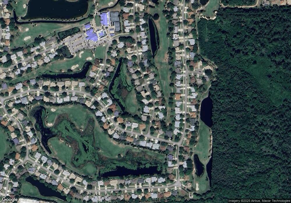
Map
Nearby Homes
- 1618 Frontier Dr
- 1682 Frontier Dr
- 1680 Old Glory Blvd
- 1161 Continental Ave
- 6612 Fawn Ridge Dr
- 1290 Mayflower Ave
- 1071 Continental Ave
- 1311 Independence Ave
- 1332 Pilgrim Ave
- 1360 Mahaney Place
- 1919 Freedom Dr
- 1375 Mayflower Ave
- 6806 Whitetail Ct
- 1372 Independence Ave
- 1551 Independence Ave
- 1579 Independence Ave
- 6833 Whitetail Ct
- 1461 Bourke Ln
- 1491 Bourke Ln
- 1532 Tralee Bay Ave
- 1040 Ironsides Ave
- 1016 Ironsides Ave
- 1048 Ironsides Ave
- 1033 Ironsides Ave
- 1025 Ironsides Ave
- 1041 Ironsides Ave
- 1008 Ironsides Ave
- 1017 Ironsides Ave
- 1056 Ironsides Ave
- 1009 Ironsides Ave
- 1049 Ironsides Ave Unit 2
- 1049 Ironsides Ave
- 1540 Pioneer Dr
- 1057 Ironsides Ave
- 1548 Pioneer Dr
- 1001 Ironsides Ave
- 1064 Ironsides Ave
- 1556 Pioneer Dr
- 1564 Pioneer Dr
- 1572 Pioneer Dr
Your Personal Tour Guide
Ask me questions while you tour the home.