1032 Larkspur Rd Lincolnton, GA 30817
Estimated Value: $356,000 - $888,789
3
Beds
4
Baths
2,560
Sq Ft
$231/Sq Ft
Est. Value
About This Home
This home is located at 1032 Larkspur Rd, Lincolnton, GA 30817 and is currently estimated at $592,447, approximately $231 per square foot. 1032 Larkspur Rd is a home with nearby schools including Lincoln County Elementary School, Lincoln County Middle School, and Lincoln County High School.
Ownership History
Date
Name
Owned For
Owner Type
Purchase Details
Closed on
Mar 24, 2014
Sold by
Sweet Kenneth
Bought by
Sweet Kenneth P and Sweet Lisa A
Current Estimated Value
Purchase Details
Closed on
Nov 13, 2013
Sold by
Weir Brent
Bought by
Sweet Kenneth P and Sweet Lisa A
Purchase Details
Closed on
May 11, 2007
Sold by
Generations Land Co Llc
Bought by
Sweet Kenneth P and Sweet Lisa A
Create a Home Valuation Report for This Property
The Home Valuation Report is an in-depth analysis detailing your home's value as well as a comparison with similar homes in the area
Home Values in the Area
Average Home Value in this Area
Purchase History
| Date | Buyer | Sale Price | Title Company |
|---|---|---|---|
| Sweet Kenneth P | -- | -- | |
| Sweet Kenneth P | -- | -- | |
| Sweet Kenneth P | $62,500 | -- | |
| Sweet Kenneth P | $276,165 | -- |
Source: Public Records
Tax History Compared to Growth
Tax History
| Year | Tax Paid | Tax Assessment Tax Assessment Total Assessment is a certain percentage of the fair market value that is determined by local assessors to be the total taxable value of land and additions on the property. | Land | Improvement |
|---|---|---|---|---|
| 2025 | $8,352 | $337,720 | $36,000 | $301,720 |
| 2024 | $8,642 | $321,920 | $36,000 | $285,920 |
| 2023 | $7,571 | $287,920 | $36,000 | $251,920 |
| 2022 | $7,122 | $279,080 | $36,000 | $243,080 |
| 2021 | $6,216 | $219,640 | $36,000 | $183,640 |
| 2020 | $6,248 | $189,480 | $36,000 | $153,480 |
| 2019 | $6,273 | $189,480 | $36,000 | $153,480 |
| 2018 | $5,956 | $189,480 | $36,000 | $153,480 |
| 2017 | $5,395 | $171,640 | $36,000 | $135,640 |
| 2016 | $5,470 | $171,640 | $36,000 | $135,640 |
| 2015 | -- | $171,640 | $36,000 | $135,640 |
| 2014 | -- | $145,920 | $11,560 | $134,360 |
| 2013 | -- | $145,920 | $11,560 | $134,360 |
Source: Public Records
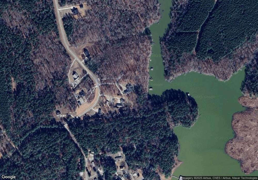
Map
Nearby Homes
- 5570 Coxville Rd
- 0000 Mary Boyd Rd
- 8010 Lakeside Dr
- 5532/5556 Oak Rd
- 0 Longleaf Dr
- 5608 Lincolnton Rd NE
- 0 Hephzibah Church Rd
- 7333 Lakeside Dr
- 7622 Winfield Hills Rd
- 1312 Amity-Woodlawn Rd
- 265 Lost Pond Ln
- 3540 Mistletoe Rd
- 3454 Mistletoe Rd
- LOT 4 Mistletoe Rd
- LOT 3 Mistletoe Rd
- LOT 5 Mistletoe Rd
- LOT 2 Mistletoe Rd
- LOT 7 Mistletoe Rd
- LOT 9 Mistletoe Rd
- 2534 Georgia 220
- 1030 Larkspur Rd
- 1016 Larkspur Rd
- 1007 Larkspur Rd
- 1054 Larkspur Rd
- 1045 Larkspur Rd
- 1043 Hinton St
- 1423 Berry St
- 1431 Berry St
- 1080 Larkspur Rd
- 1052 Hinton St
- 1013 Pounds St
- 1301 Harvey St
- 1051 Hinton St
- 1018 Pounds St
- 1275 Leverette Ave
- 1329 Leverette Ave
- 1299 Leverette Ave
- 1285 Leverette Ave
- 1291 Leverett Ave
- 1367 Leverette Ave