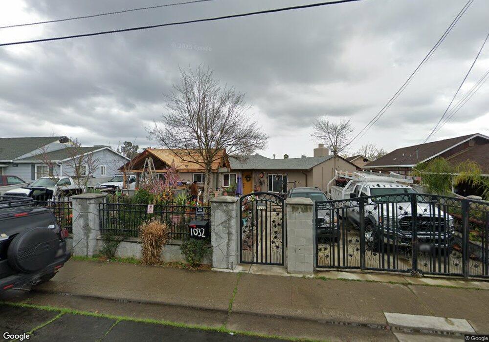
1032 Las Palmas Ave Sacramento, CA 95815
South Hagginwood NeighborhoodEstimated Value: $280,000 - $410,000
2
Beds
1
Bath
1,407
Sq Ft
$258/Sq Ft
Est. Value
About This Home
This home is located at 1032 Las Palmas Ave, Sacramento, CA 95815 and is currently estimated at $363,069, approximately $258 per square foot. 1032 Las Palmas Ave is a home located in Sacramento County with nearby schools including Northwood Elementary School, Martin Luther King Jr. Technology Academy, and Grant Union High School.
Ownership History
Date
Name
Owned For
Owner Type
Purchase Details
Closed on
May 8, 2002
Sold by
Caudill Robert L
Bought by
Correa David Garcia and Correa Beatriz
Current Estimated Value
Home Financials for this Owner
Home Financials are based on the most recent Mortgage that was taken out on this home.
Original Mortgage
$110,000
Outstanding Balance
$47,265
Interest Rate
7.18%
Estimated Equity
$315,804
Create a Home Valuation Report for This Property
The Home Valuation Report is an in-depth analysis detailing your home's value as well as a comparison with similar homes in the area
Home Values in the Area
Average Home Value in this Area
Purchase History
| Date | Buyer | Sale Price | Title Company |
|---|---|---|---|
| Correa David Garcia | $110,000 | Chicago Title Co |
Source: Public Records
Mortgage History
| Date | Status | Borrower | Loan Amount |
|---|---|---|---|
| Open | Correa David Garcia | $110,000 |
Source: Public Records
Tax History Compared to Growth
Tax History
| Year | Tax Paid | Tax Assessment Tax Assessment Total Assessment is a certain percentage of the fair market value that is determined by local assessors to be the total taxable value of land and additions on the property. | Land | Improvement |
|---|---|---|---|---|
| 2025 | $2,008 | $162,482 | $39,877 | $122,605 |
| 2024 | $2,008 | $159,297 | $39,096 | $120,201 |
| 2023 | $2,014 | $156,175 | $38,330 | $117,845 |
| 2022 | $1,904 | $153,114 | $37,579 | $115,535 |
| 2021 | $1,893 | $150,113 | $36,843 | $113,270 |
| 2020 | $1,873 | $148,575 | $36,466 | $112,109 |
| 2019 | $1,847 | $145,662 | $35,751 | $109,911 |
| 2018 | $1,748 | $142,806 | $35,050 | $107,756 |
| 2017 | $1,795 | $140,007 | $34,363 | $105,644 |
| 2016 | $1,737 | $137,263 | $33,690 | $103,573 |
| 2015 | $1,638 | $135,202 | $33,184 | $102,018 |
| 2014 | $1,667 | $132,554 | $32,534 | $100,020 |
Source: Public Records
Map
Nearby Homes
- 2844 Amaranth Alley
- 1021 Alamos Ave
- 2729 Rio Linda Blvd
- 2781 Clay St
- 967 Olive Branch Place
- 2829 Rio Linda Blvd
- 831 Price Ct
- 974 Acacia Ave
- 1124 Acacia Ave
- 1059 Acacia Ave
- 2917 Del Paso Blvd
- 2609 Ensenada Way
- 810 Lampasas Ave
- 2980 Marysville Blvd
- 796 Lampasas Ave
- 2566 Evergreen St
- 690 Acacia Ave
- 688 Eleanor Ave
- 2569 Erickson St
- 2569 Erickson St
- 1042 Las Palmas Ave
- 1024 Las Palmas Ave
- 1048 Las Palmas Ave
- 1043 Las Palmas Ave
- 2786 Branch St
- 2796 Branch St
- 2778 Branch St
- 1027 Las Palmas Ave
- 2766 Branch St
- 1059 Las Palmas Ave
- 2760 Branch St
- 1001 Las Palmas Ave
- 2754 Branch St
- 1023 Las Palmas Ave
- 1033 Las Palmas Ave
- 2810 Branch St
- 1063 Las Palmas Ave
- 1041 Las Palmas Ave
- 2820 Branch St
- 2748 Branch St