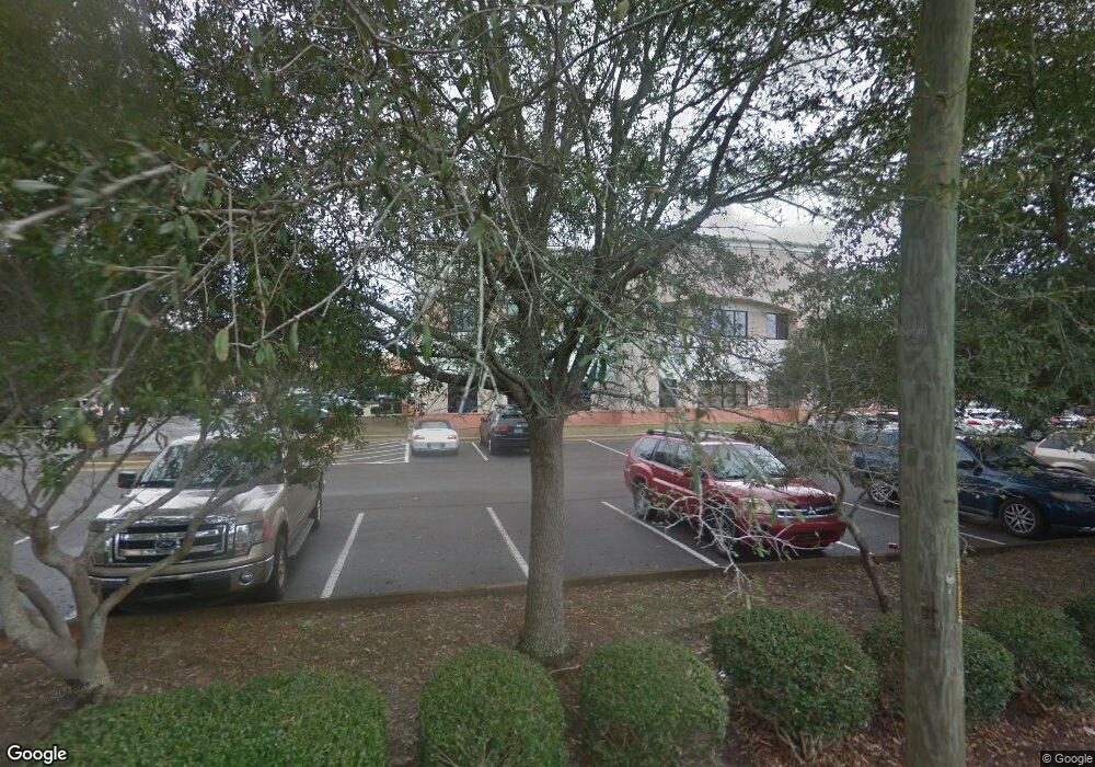
1032 Mar Walt Dr Unit 220 Fort Walton Beach, FL 32547
Wright NeighborhoodEstimated Value: $541,352
--
Bed
2
Baths
1,464
Sq Ft
$370/Sq Ft
Est. Value
About This Home
This home is located at 1032 Mar Walt Dr Unit 220, Fort Walton Beach, FL 32547 and is currently estimated at $541,352, approximately $369 per square foot. 1032 Mar Walt Dr Unit 220 is a home located in Okaloosa County with nearby schools including Longwood Elementary School, W.C. Pryor Middle School, and Choctawhatchee Senior High School.
Ownership History
Date
Name
Owned For
Owner Type
Purchase Details
Closed on
May 9, 2023
Sold by
John R Brent Md Pa
Bought by
Fort Walton Beach Medical Center Inc
Current Estimated Value
Purchase Details
Closed on
Dec 15, 2005
Sold by
Dnp Partners Lllp
Bought by
John R Brent Md Pa
Home Financials for this Owner
Home Financials are based on the most recent Mortgage that was taken out on this home.
Original Mortgage
$459,000
Interest Rate
6.23%
Mortgage Type
Unknown
Create a Home Valuation Report for This Property
The Home Valuation Report is an in-depth analysis detailing your home's value as well as a comparison with similar homes in the area
Home Values in the Area
Average Home Value in this Area
Purchase History
| Date | Buyer | Sale Price | Title Company |
|---|---|---|---|
| Fort Walton Beach Medical Center Inc | $520,000 | First American Title | |
| John R Brent Md Pa | $539,900 | None Available |
Source: Public Records
Mortgage History
| Date | Status | Borrower | Loan Amount |
|---|---|---|---|
| Previous Owner | John R Brent Md Pa | $459,000 |
Source: Public Records
Tax History Compared to Growth
Tax History
| Year | Tax Paid | Tax Assessment Tax Assessment Total Assessment is a certain percentage of the fair market value that is determined by local assessors to be the total taxable value of land and additions on the property. | Land | Improvement |
|---|---|---|---|---|
| 2024 | $3,632 | $409,252 | -- | $409,252 |
| 2023 | $3,632 | $405,200 | $0 | $405,200 |
| 2022 | $2,424 | $204,105 | $0 | $204,105 |
| 2021 | $2,174 | $169,175 | $0 | $169,175 |
| 2020 | $2,168 | $167,500 | $0 | $167,500 |
| 2019 | $2,191 | $167,000 | $0 | $167,000 |
| 2018 | $2,128 | $160,300 | $0 | $0 |
| 2017 | $2,116 | $158,700 | $0 | $0 |
| 2016 | $2,083 | $157,170 | $0 | $0 |
| 2015 | $2,113 | $157,170 | $0 | $0 |
| 2014 | $2,115 | $157,170 | $0 | $0 |
Source: Public Records
Map
Nearby Homes
- 0 Brooks Ave
- 905 Cloverdale Ct
- 850 Holbrook Cir
- 214 Cloverdale Blvd Unit A
- 807 Holbrook Cir
- 1100 Crosswinds Landing Unit 14
- 1100 Crosswinds Landing Unit 19
- 1100 Crosswinds Landing Unit 21
- 900 Holbrook Cir
- 940 Central Ave Unit 15
- 765 Pinecrest Ln
- 1011 Creel St
- 941 Ashley Ln Unit D
- 1028 Mclaren Cir
- 1828 Sod Dr Unit 2
- 309 Cloverdale Blvd
- 1602 Mariah Way E
- 1942 Woodcrest Ridge Unit 2
- 1329 White Blossom Ln
- 1810 Scirocco Loop
- 1034 Mar Walt Dr Unit 200
- 131 Barks Dr
- 129 Barks Dr
- 1046 Mar Walt Dr Unit 200
- 1046 Mar Walt Dr
- 133 Barks Dr
- 127 Barks Dr
- 1042 Mar Walt Dr
- TBD Barks Dr
- 135 Barks Dr
- 137 Barks Dr
- 139 Barks Dr
- 1025 Stafford St
- 1017 Stafford St
- 141 Barks Dr
- 1050 Mar Walt Dr
- 1011 Stafford St
- 15 Brooks Ave
- 13 Brooks Ave
- 19 Brooks Ave
