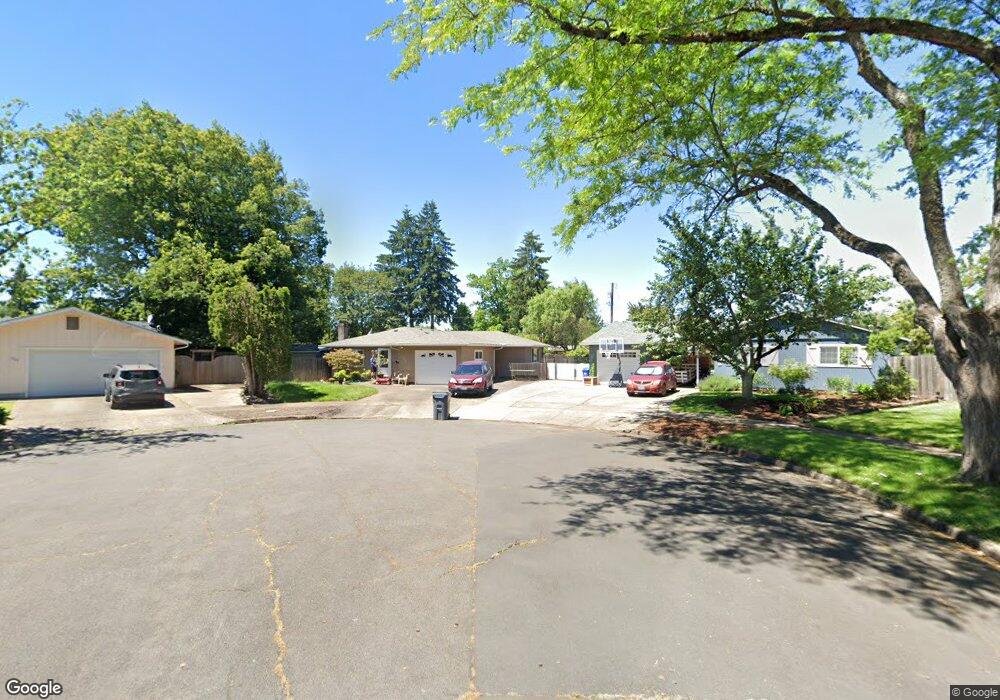
1032 Martha Ct Eugene, OR 97401
Harlow NeighborhoodEstimated Value: $532,000 - $578,000
4
Beds
2
Baths
1,674
Sq Ft
$330/Sq Ft
Est. Value
About This Home
This home is located at 1032 Martha Ct, Eugene, OR 97401 and is currently estimated at $553,191, approximately $330 per square foot. 1032 Martha Ct is a home located in Lane County with nearby schools including Holt Elementary School, Monroe Middle School, and Sheldon High School.
Ownership History
Date
Name
Owned For
Owner Type
Purchase Details
Closed on
May 11, 2012
Sold by
Redford Robert W and Redford Linda D
Bought by
Searfus October and Isin Kip
Current Estimated Value
Home Financials for this Owner
Home Financials are based on the most recent Mortgage that was taken out on this home.
Original Mortgage
$199,803
Outstanding Balance
$136,462
Interest Rate
3.75%
Mortgage Type
FHA
Estimated Equity
$416,729
Create a Home Valuation Report for This Property
The Home Valuation Report is an in-depth analysis detailing your home's value as well as a comparison with similar homes in the area
Home Values in the Area
Average Home Value in this Area
Purchase History
| Date | Buyer | Sale Price | Title Company |
|---|---|---|---|
| Searfus October | $205,000 | Multiple |
Source: Public Records
Mortgage History
| Date | Status | Borrower | Loan Amount |
|---|---|---|---|
| Open | Searfus October | $199,803 |
Source: Public Records
Tax History
| Year | Tax Paid | Tax Assessment Tax Assessment Total Assessment is a certain percentage of the fair market value that is determined by local assessors to be the total taxable value of land and additions on the property. | Land | Improvement |
|---|---|---|---|---|
| 2025 | $4,834 | $248,100 | -- | -- |
| 2024 | $4,774 | $240,874 | -- | -- |
| 2023 | $4,774 | $233,859 | $0 | $0 |
| 2022 | $4,472 | $227,048 | $0 | $0 |
| 2021 | $4,201 | $220,435 | $0 | $0 |
| 2020 | $4,215 | $214,015 | $0 | $0 |
| 2019 | $4,071 | $207,782 | $0 | $0 |
| 2018 | $3,832 | $195,855 | $0 | $0 |
| 2017 | $3,661 | $195,855 | $0 | $0 |
| 2016 | $3,570 | $190,150 | $0 | $0 |
| 2015 | $3,467 | $184,612 | $0 | $0 |
| 2014 | $3,367 | $179,235 | $0 | $0 |
Source: Public Records
Map
Nearby Homes
- 1038 President St
- 825 Waverly St
- 1270 Calvin St
- 1271 Arcadia Dr
- 3700 Babcock Ln Unit 119
- 3700 Babcock Ln Unit 106
- 3025 Bailey Ln
- 1491 Victorian Way
- 446 Kodiak St
- 1564 Regency Dr
- 0 Sprig Ln Unit Lot 3
- 0 Sprig Ln Unit Lot 3 766109892
- 3090 Willakenzie Rd
- 2872 Suffolk Ct
- 2994 Dapple Way
- 2727 Gateway St Unit 27
- 3579 Oxbow Way
- 2746 Harlow Rd
- 341 Ransom Ct
- 3460 Oxbow Way
- 1040 Martha Ct
- 1024 Martha Ct
- 1033 President St
- 1021 President St
- 1047 President St
- 1009 President St
- 3558 Vernon Way
- 1056 Martha Ct
- 1074 Martha Ct
- 3576 Vernon Way
- 1084 Calvin St
- 1018 Martha Ct
- 3520 Vernon Way
- 980 Martha Ct
- 3525 Western Dr
- 3596 Vernon Way
- 3539 Western Dr
- 968 Calvin St
- 1026 President St
- 3499 Western Dr
Your Personal Tour Guide
Ask me questions while you tour the home.