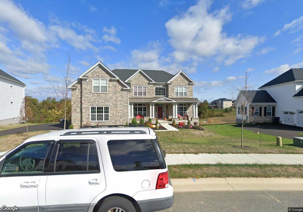
1032 Matthew Way New Castle, DE 19720
Saint Georges NeighborhoodEstimated Value: $834,000 - $986,000
4
Beds
4
Baths
4,294
Sq Ft
$216/Sq Ft
Est. Value
About This Home
This home is located at 1032 Matthew Way, New Castle, DE 19720 and is currently estimated at $927,721, approximately $216 per square foot. 1032 Matthew Way is a home with nearby schools including Southern Elementary School, Gunning Bedford Middle School, and Aquinas Academy.
Ownership History
Date
Name
Owned For
Owner Type
Purchase Details
Closed on
Oct 11, 2020
Sold by
Toll De Lp
Bought by
Zhai Haoyan and Yue Li
Current Estimated Value
Purchase Details
Closed on
Apr 9, 2019
Sold by
Toll De Lp
Bought by
Auty Robert E and Auty Michelle L
Home Financials for this Owner
Home Financials are based on the most recent Mortgage that was taken out on this home.
Original Mortgage
$791,369
Interest Rate
3.75%
Mortgage Type
Adjustable Rate Mortgage/ARM
Create a Home Valuation Report for This Property
The Home Valuation Report is an in-depth analysis detailing your home's value as well as a comparison with similar homes in the area
Home Values in the Area
Average Home Value in this Area
Purchase History
| Date | Buyer | Sale Price | Title Company |
|---|---|---|---|
| Zhai Haoyan | $484,318 | None Available | |
| Auty Robert E | $871,312 | None Available |
Source: Public Records
Mortgage History
| Date | Status | Borrower | Loan Amount |
|---|---|---|---|
| Previous Owner | Auty Robert E | $791,369 |
Source: Public Records
Tax History Compared to Growth
Tax History
| Year | Tax Paid | Tax Assessment Tax Assessment Total Assessment is a certain percentage of the fair market value that is determined by local assessors to be the total taxable value of land and additions on the property. | Land | Improvement |
|---|---|---|---|---|
| 2024 | $6,135 | $176,400 | $13,800 | $162,600 |
| 2023 | $5,607 | $176,400 | $13,800 | $162,600 |
| 2022 | $5,796 | $175,100 | $13,800 | $161,300 |
| 2021 | $5,793 | $175,100 | $13,800 | $161,300 |
| 2020 | $5,831 | $175,100 | $13,800 | $161,300 |
| 2019 | $5,820 | $175,100 | $13,800 | $161,300 |
| 2018 | $239 | $7,300 | $7,300 | $0 |
| 2017 | $190 | $7,300 | $7,300 | $0 |
| 2016 | $190 | $7,300 | $7,300 | $0 |
| 2015 | -- | $7,300 | $7,300 | $0 |
| 2014 | $191 | $7,300 | $7,300 | $0 |
Source: Public Records
Map
Nearby Homes
- 1119 Casey Dr
- 1049 Matthew Way
- 1225 Caitlin Way
- 2159 Mccoy Rd
- 1902 Mccoy Rd
- 31 Crestpoint Dr
- 402 Derrytown Dr
- 6 Delaware St
- 4010 Kirkwood Saint Georges Rd
- 35 N Dragon Dr
- 102 Parker Dr
- 300 Fenn Ct
- 348 Starboard Dr
- 319 Pheasant Dr
- 210 Olivia Way
- 325 Howell School Rd
- 8 Tamar Ct
- 121 Willow Oak Blvd
- 1011 Stuyvesant St
- 616 Clifton Dr
- 1030 Matthew Way
- 1034 Matthew Way
- 1035 Matthew Way
- 1029 Matthew Way
- 1036 Matthew Way
- 622 Highpointe Dr
- 1027 Matthew Way
- 0 Matthew Way Unit STANSB 7098675
- 0 Matthew Way Unit STANSB 6931950
- 0 Matthew Way Unit CLARID 6849367
- 0 Matthew Way Unit STANSB 6849369
- 620 Highpointe Dr
- 1126 Casey Dr
- 1038 Matthew Way
- 1129 Casey Dr
- 1037 Matthew Way
- 1124 Casey Dr
- 1127 Casey Dr
- 618 Highpointe Dr
- 1025 Matthew Way