Estimated Value: $267,000 - $453,000
Studio
1
Bath
888
Sq Ft
$374/Sq Ft
Est. Value
About This Home
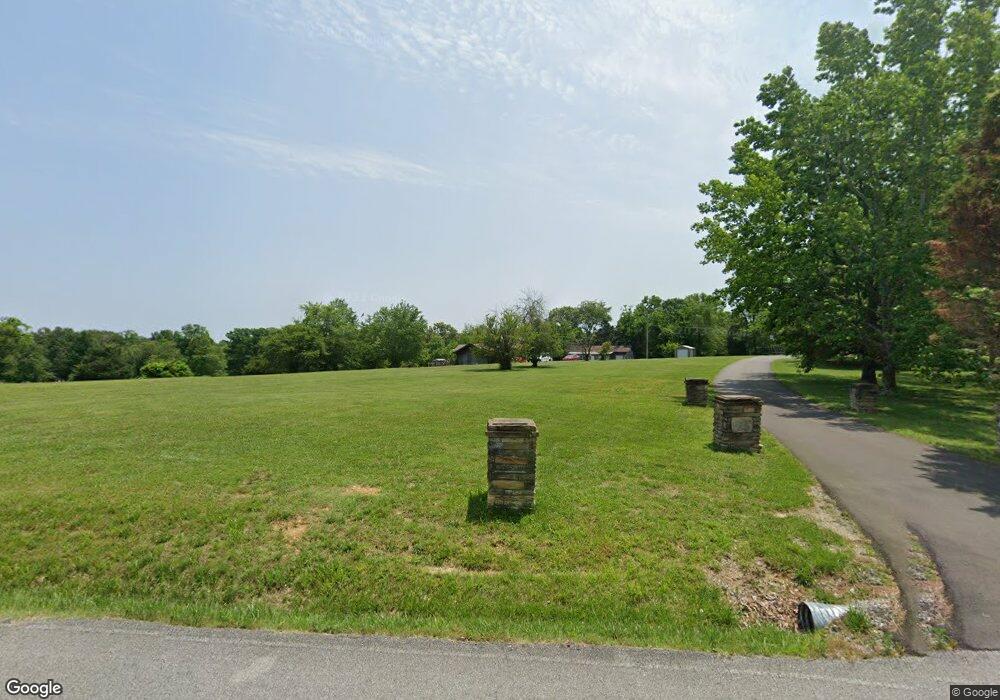
This home is located at 1032 Myatt Loop Rd, Burns, TN 37029 and is currently estimated at $331,865, approximately $373 per square foot. 1032 Myatt Loop Rd is a home located in Dickson County with nearby schools including Stuart Burns Elementary School, Burns Middle School, and Dickson County High School.
Ownership History
Date
Name
Owned For
Owner Type
Purchase Details
Closed on
Mar 26, 2003
Sold by
Dianne Stewart B
Bought by
Stewart Barry M
Current Estimated Value
Home Financials for this Owner
Home Financials are based on the most recent Mortgage that was taken out on this home.
Original Mortgage
$89,000
Interest Rate
5.82%
Purchase Details
Closed on
Oct 10, 1985
Bought by
Stewart B Dianne Etvir Barry M
Purchase Details
Closed on
Sep 23, 1983
Create a Home Valuation Report for This Property
The Home Valuation Report is an in-depth analysis detailing your home's value as well as a comparison with similar homes in the area
Home Values in the Area
Average Home Value in this Area
Purchase History
| Date | Buyer | Sale Price | Title Company |
|---|---|---|---|
| Stewart Barry M | -- | -- | |
| Stewart B Dianne Etvir Barry M | -- | -- | |
| -- | -- | -- |
Source: Public Records
Mortgage History
| Date | Status | Borrower | Loan Amount |
|---|---|---|---|
| Closed | Not Available | $89,000 |
Source: Public Records
Tax History
| Year | Tax Paid | Tax Assessment Tax Assessment Total Assessment is a certain percentage of the fair market value that is determined by local assessors to be the total taxable value of land and additions on the property. | Land | Improvement |
|---|---|---|---|---|
| 2025 | $993 | $58,775 | $26,900 | $31,875 |
| 2024 | $993 | $58,775 | $26,900 | $31,875 |
| 2023 | $835 | $35,525 | $11,950 | $23,575 |
| 2022 | $835 | $35,525 | $11,950 | $23,575 |
| 2021 | $835 | $35,525 | $11,950 | $23,575 |
| 2020 | $835 | $35,525 | $11,950 | $23,575 |
| 2019 | $835 | $35,525 | $11,950 | $23,575 |
| 2018 | $649 | $24,050 | $6,175 | $17,875 |
| 2017 | $649 | $24,050 | $6,175 | $17,875 |
| 2016 | $649 | $24,050 | $6,175 | $17,875 |
| 2015 | $616 | $21,250 | $6,175 | $15,075 |
| 2014 | $616 | $21,250 | $6,175 | $15,075 |
Source: Public Records
Map
Nearby Homes
- 0 Buddy Rd Unit RTC3058739
- 1 Myatt Loop
- 1022 Belmont Dr
- 2054 Ridgecrest Cir
- 245 Pate Ln
- 1021 Woodmont Dr
- 0 Ridgecrest Dr Unit 1
- 0 Ridgecrest Dr
- 0 Ridgecrest Dr Unit 4
- 0 Ridgecrest Dr Unit 5
- 0 Ridgecrest Dr Unit 2
- 1222 Rock Church Rd
- 2008 Oldham Terrace
- 115 Rae Ln
- 1585 Jones Creek Rd
- 145 Bishop Ln
- 112 Florence Cove
- 107 Florence Cove
- 105 Florence Cove
- 118 Florence Cove
- 1030 Myatt Loop Rd
- 1036 Myatt Loop Rd
- 1044 Myatt Loop Rd
- 3020 U S 70
- 1051 Myatt Loop Rd
- 1051 Myatt Loop Rd
- 1050 Myatt Loop Rd
- 0 Hwy 70 E
- 1056 Myatt Loop Rd
- 1288 Myatt Loop Rd
- 1296 Myatt Loop Rd
- 1060 Myatt Loop Rd
- 225 Buddy Rd
- 224 Buddy Rd
- 3045 Highway 70 E
- 1112 Myatt Loop Rd
- 1062 Myatt Loop Rd
- 1061 Myatt Loop Rd
- 1179 Rock Church Rd
- 1064 Myatt Loop Rd
Your Personal Tour Guide
Ask me questions while you tour the home.