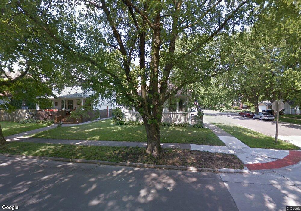
1032 Pershing Blvd Clinton, IA 52732
Estimated Value: $131,000 - $137,000
3
Beds
1
Bath
1,328
Sq Ft
$101/Sq Ft
Est. Value
About This Home
This home is located at 1032 Pershing Blvd, Clinton, IA 52732 and is currently estimated at $133,556, approximately $100 per square foot. 1032 Pershing Blvd is a home located in Clinton County with nearby schools including Whittier Elementary School, Clinton Middle School, and Clinton High School.
Ownership History
Date
Name
Owned For
Owner Type
Purchase Details
Closed on
Apr 17, 2014
Sold by
Phillips Frederick
Bought by
Phillips Ii Frederick and Phillips Ronda J
Current Estimated Value
Purchase Details
Closed on
Jul 16, 2007
Sold by
Adkisson Timothy R
Bought by
Akins Andrew P and Akins Kristen J
Home Financials for this Owner
Home Financials are based on the most recent Mortgage that was taken out on this home.
Original Mortgage
$99,500
Outstanding Balance
$62,321
Interest Rate
6.54%
Mortgage Type
New Conventional
Estimated Equity
$71,235
Purchase Details
Closed on
Nov 15, 2006
Sold by
Adkisson Timothy R and Drury Valeric K
Bought by
Adkisson Timothy R
Home Financials for this Owner
Home Financials are based on the most recent Mortgage that was taken out on this home.
Original Mortgage
$100,100
Interest Rate
6.36%
Mortgage Type
VA
Create a Home Valuation Report for This Property
The Home Valuation Report is an in-depth analysis detailing your home's value as well as a comparison with similar homes in the area
Home Values in the Area
Average Home Value in this Area
Purchase History
| Date | Buyer | Sale Price | Title Company |
|---|---|---|---|
| Phillips Ii Frederick | -- | None Available | |
| Akins Andrew P | $99,500 | None Available | |
| Adkisson Timothy R | $98,000 | None Available |
Source: Public Records
Mortgage History
| Date | Status | Borrower | Loan Amount |
|---|---|---|---|
| Open | Akins Andrew P | $99,500 | |
| Previous Owner | Adkisson Timothy R | $100,100 |
Source: Public Records
Tax History Compared to Growth
Tax History
| Year | Tax Paid | Tax Assessment Tax Assessment Total Assessment is a certain percentage of the fair market value that is determined by local assessors to be the total taxable value of land and additions on the property. | Land | Improvement |
|---|---|---|---|---|
| 2024 | $1,952 | $115,140 | $15,540 | $99,600 |
| 2023 | $1,920 | $115,140 | $15,540 | $99,600 |
| 2022 | $1,642 | $84,000 | $9,310 | $74,690 |
| 2021 | $1,740 | $84,000 | $9,310 | $74,690 |
| 2020 | $1,740 | $84,000 | $9,310 | $74,690 |
| 2019 | $1,798 | $84,000 | $0 | $0 |
| 2018 | $1,748 | $84,000 | $0 | $0 |
| 2017 | $1,748 | $84,000 | $0 | $0 |
| 2016 | $1,740 | $84,000 | $0 | $0 |
| 2015 | $1,740 | $84,000 | $0 | $0 |
| 2014 | $1,746 | $84,000 | $0 | $0 |
| 2013 | $1,718 | $0 | $0 | $0 |
Source: Public Records
Map
Nearby Homes
- 1022 Pershing Blvd
- 923 Pershing Blvd
- 1013 N 2nd St
- 924 N 3rd St
- 828 Park Place
- 728 Park Place
- 704 N 3rd St
- 1423 Pershing Blvd
- 620 N 4th St
- 700 N Bluff Blvd
- 348 6th Ave N
- 1022 Hickory Hill Ct
- 582 Breezy Point Dr
- 515 Woodland Dr
- 1522 N 4th St
- 591 Breezy Point Dr
- 320 16th Ave N
- 504 6th Ave N
- 510 6th Ave N
- 511 16th Ave N
- 1026 Pershing Blvd
- 267 11th Ave N
- 1100 Pershing Blvd
- 1103 Pershing Blvd
- 1018 Pershing Blvd
- 1031 Pershing Blvd
- 1027 Pershing Blvd
- 1019 Pershing Blvd
- 1023 Pershing Blvd
- 1103 N 3rd St
- 1023 N 3rd St
- 1107 N 3rd St
- 1008 Pershing Blvd
- 1115 N 3rd St
- 1108 Pershing Blvd
- 1119 N 3rd St
- 1015 Pershing Blvd
- 1027 N 3rd St
- 1110 Pershing Blvd
- 1111 Pershing Blvd