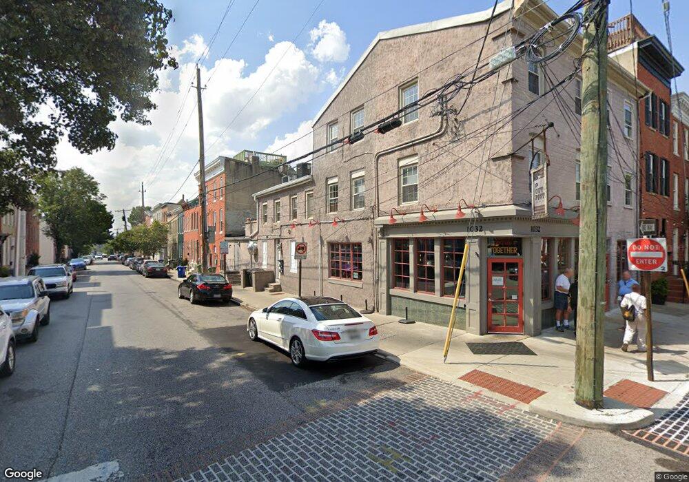
1032 Riverside Ave Baltimore, MD 21230
Federal Hill NeighborhoodEstimated Value: $1,354,967
Studio
4
Baths
2,720
Sq Ft
$498/Sq Ft
Est. Value
About This Home
This home is located at 1032 Riverside Ave, Baltimore, MD 21230 and is currently estimated at $1,354,967, approximately $498 per square foot. 1032 Riverside Ave is a home located in Baltimore City with nearby schools including Federal Hill Preparatory School, Booker T. Washington Middle School, and Digital Harbor High School.
Ownership History
Date
Name
Owned For
Owner Type
Purchase Details
Closed on
Aug 2, 2005
Sold by
1032 Riverside Avenue Llc
Bought by
Grant Equity Llc
Current Estimated Value
Purchase Details
Closed on
May 29, 2002
Sold by
Ransome Marie L
Bought by
1032 Riverside Avenue Llc
Purchase Details
Closed on
Jul 6, 2000
Sold by
Ransome Marie L
Bought by
Fore Thomas and Rivercross Llc
Purchase Details
Closed on
Apr 24, 2000
Sold by
Two Andy'S Inc
Bought by
Two Andy'S Inc
Create a Home Valuation Report for This Property
The Home Valuation Report is an in-depth analysis detailing your home's value as well as a comparison with similar homes in the area
Home Values in the Area
Average Home Value in this Area
Purchase History
| Date | Buyer | Sale Price | Title Company |
|---|---|---|---|
| Grant Equity Llc | $520,000 | -- | |
| 1032 Riverside Avenue Llc | $215,000 | -- | |
| Fore Thomas | $208,800 | -- | |
| Two Andy'S Inc | $185,000 | -- |
Source: Public Records
Tax History
| Year | Tax Paid | Tax Assessment Tax Assessment Total Assessment is a certain percentage of the fair market value that is determined by local assessors to be the total taxable value of land and additions on the property. | Land | Improvement |
|---|---|---|---|---|
| 2025 | $18,540 | $789,667 | -- | -- |
| 2024 | $18,540 | $789,333 | -- | -- |
| 2023 | $18,532 | $789,000 | $512,000 | $277,000 |
| 2022 | $14,402 | $610,267 | $0 | $0 |
| 2021 | $6,024 | $255,267 | $0 | $0 |
| 2020 | $5,966 | $252,800 | $64,000 | $188,800 |
| 2019 | $5,880 | $250,367 | $0 | $0 |
| 2018 | $5,851 | $247,933 | $0 | $0 |
| 2017 | $5,794 | $245,500 | $0 | $0 |
| 2016 | $3,126 | $240,933 | $0 | $0 |
| 2015 | $3,126 | $236,367 | $0 | $0 |
| 2014 | $3,126 | $231,800 | $0 | $0 |
Source: Public Records
Map
Nearby Homes
- 1134 Battery Ave
- 418 E Cross St
- 213 Grindall St
- 413 Grindall St
- 437 Grindall St
- 444 Grindall St
- 337 E Hamburg St
- 1264 Riverside Ave
- 1271 Battery Ave
- 109 E West St
- 409 Warren Ave
- 1211 Light St Unit 410
- 1211 Light St Unit 103
- 132 E Gittings St
- 1220 Harbor Island Walk
- 1225 Harbor Island Walk
- 1254 Harbor Island Walk
- 23 Pierside Dr Unit 118
- 23 Pierside Dr Unit 326
- 23 Pierside Dr Unit 324
- 1032 Riverside Ave Unit 1
- 1032 Riverside Ave Unit 2
- 1030 Riverside Ave
- 1028 Riverside Ave
- 1026 Riverside Ave
- 1024 Riverside Ave
- 236 E Cross St
- 1022 Riverside Ave
- 234 E Cross St
- 1020 Riverside Ave
- 317 E Cross St
- 319 E Cross St
- 1047 W Patapsco Ave
- 315 E Cross St
- 313 E Cross St
- 232 E Cross St
- 1018 Riverside Ave
- 400 E Cross St
- 400 E Cross St Unit B
- 400 E Cross St Unit A
Your Personal Tour Guide
Ask me questions while you tour the home.