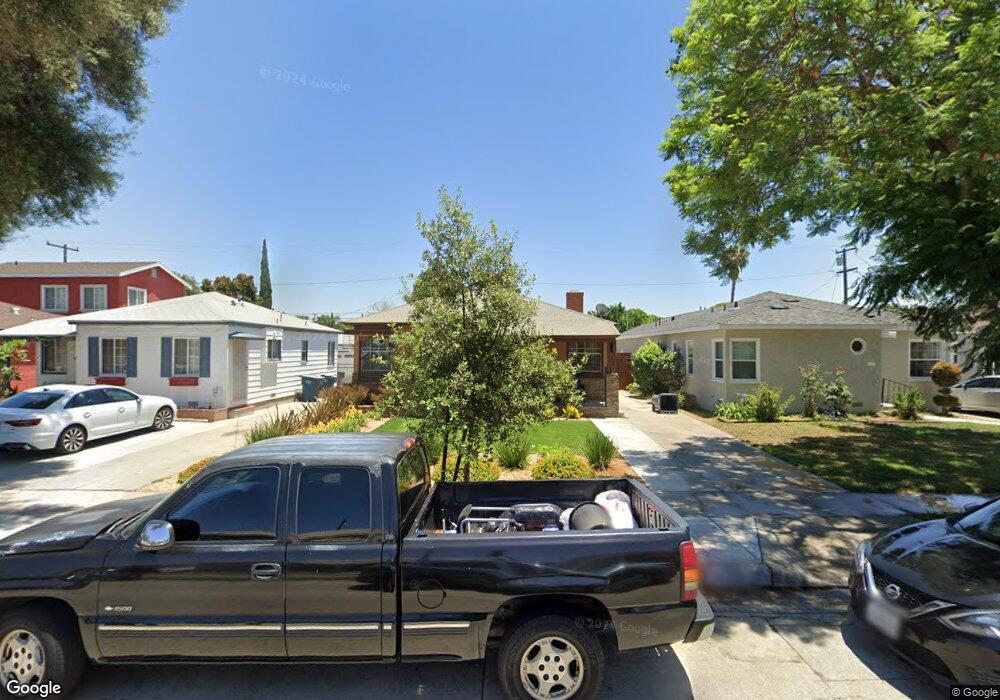
10320 Hunt Ave South Gate, CA 90280
Estimated Value: $649,286 - $714,000
2
Beds
1
Bath
914
Sq Ft
$745/Sq Ft
Est. Value
About This Home
This home is located at 10320 Hunt Ave, South Gate, CA 90280 and is currently estimated at $680,572, approximately $744 per square foot. 10320 Hunt Ave is a home located in Los Angeles County with nearby schools including Bryson Avenue Elementary School, South Gate Middle School, and Southeast Middle School.
Ownership History
Date
Name
Owned For
Owner Type
Purchase Details
Closed on
Jan 19, 2001
Sold by
Critelli Michael and The Zella M Sullivan Living Tr
Bought by
Mayorquin Luis
Current Estimated Value
Home Financials for this Owner
Home Financials are based on the most recent Mortgage that was taken out on this home.
Original Mortgage
$154,375
Outstanding Balance
$55,263
Interest Rate
7.13%
Estimated Equity
$625,309
Purchase Details
Closed on
Sep 29, 1995
Sold by
Ross Zella M and Sullivan Zella M
Bought by
Sullivan Zella M and The Zella M Sullivan Living Trust
Create a Home Valuation Report for This Property
The Home Valuation Report is an in-depth analysis detailing your home's value as well as a comparison with similar homes in the area
Home Values in the Area
Average Home Value in this Area
Purchase History
| Date | Buyer | Sale Price | Title Company |
|---|---|---|---|
| Mayorquin Luis | $162,500 | First American Title Co | |
| Sullivan Zella M | -- | -- |
Source: Public Records
Mortgage History
| Date | Status | Borrower | Loan Amount |
|---|---|---|---|
| Open | Mayorquin Luis | $154,375 |
Source: Public Records
Tax History
| Year | Tax Paid | Tax Assessment Tax Assessment Total Assessment is a certain percentage of the fair market value that is determined by local assessors to be the total taxable value of land and additions on the property. | Land | Improvement |
|---|---|---|---|---|
| 2025 | $3,427 | $244,835 | $156,094 | $88,741 |
| 2024 | $3,427 | $240,035 | $153,034 | $87,001 |
| 2023 | $3,370 | $235,330 | $150,034 | $85,296 |
| 2022 | $3,217 | $230,717 | $147,093 | $83,624 |
| 2021 | $3,178 | $226,194 | $144,209 | $81,985 |
| 2019 | $3,081 | $219,487 | $139,933 | $79,554 |
| 2018 | $2,985 | $215,185 | $137,190 | $77,995 |
| 2016 | $2,851 | $206,830 | $131,863 | $74,967 |
| 2015 | $2,806 | $203,724 | $129,883 | $73,841 |
| 2014 | $2,808 | $199,734 | $127,339 | $72,395 |
Source: Public Records
Map
Nearby Homes
- 10414 Dorothy Ave
- 10309 Washington Ave
- 10525 Washington Ave
- 10845 Otis St
- 4087 Abbott Rd
- 10930 Otis St
- 9718 Otis St
- 3813 Lyndora St
- 9616 Bowman Ave
- 9929 Rosewood Ave
- 10970 Ruth St
- 9643 Mallison Ave
- 9505 Bryson Ave
- 9525 Bowman Ave
- 11022 Benwell Dr
- 9415 Annetta Ave
- 10240 Atlantic Ave
- 9710 San Miguel Ave
- 9329 Mcnerney Ave
- 10406 San Carlos Ave
- 10316 Hunt Ave
- 10324 Hunt Ave
- 10328 Hunt Ave
- 10312 Hunt Ave
- 10308 Hunt Ave
- 10332 Hunt Ave
- 10321 Dorothy Ave
- 10317 Dorothy Ave
- 10325 Dorothy Ave
- 10313 Dorothy Ave
- 10329 Dorothy Ave
- 10325 Hunt Ave
- 10304 Hunt Ave
- 10331 Hunt Ave
- 10309 Dorothy Ave
- 10336 Hunt Ave
- 10319 Hunt Ave
- 10331 Dorothy Ave
- 10337 Hunt Ave
- 10313 Hunt Ave
Your Personal Tour Guide
Ask me questions while you tour the home.