10320 Nc 222 Hwy W Middlesex, NC 27557
O'Neals NeighborhoodEstimated Value: $439,000 - $745,000
4
Beds
4
Baths
3,075
Sq Ft
$192/Sq Ft
Est. Value
About This Home
This home is located at 10320 Nc 222 Hwy W, Middlesex, NC 27557 and is currently estimated at $589,032, approximately $191 per square foot. 10320 Nc 222 Hwy W is a home located in Johnston County with nearby schools including Archer Lodge Middle School and Corinth Holders High School.
Ownership History
Date
Name
Owned For
Owner Type
Purchase Details
Closed on
Jun 15, 2021
Sold by
Rose Peter Wade and Rose Jean Norris
Bought by
Fontanes Richard and Fontanes Maureen
Current Estimated Value
Purchase Details
Closed on
Jan 22, 2020
Sold by
Hollamon Ronald and Hollamon Renee
Bought by
Rose Peter Wade and Rose Jean Norris
Home Financials for this Owner
Home Financials are based on the most recent Mortgage that was taken out on this home.
Original Mortgage
$67,600
Interest Rate
3.19%
Mortgage Type
Future Advance Clause Open End Mortgage
Create a Home Valuation Report for This Property
The Home Valuation Report is an in-depth analysis detailing your home's value as well as a comparison with similar homes in the area
Home Values in the Area
Average Home Value in this Area
Purchase History
| Date | Buyer | Sale Price | Title Company |
|---|---|---|---|
| Fontanes Richard | $155,000 | None Available | |
| Rose Peter Wade | $84,500 | None Available |
Source: Public Records
Mortgage History
| Date | Status | Borrower | Loan Amount |
|---|---|---|---|
| Previous Owner | Rose Peter Wade | $67,600 |
Source: Public Records
Tax History Compared to Growth
Tax History
| Year | Tax Paid | Tax Assessment Tax Assessment Total Assessment is a certain percentage of the fair market value that is determined by local assessors to be the total taxable value of land and additions on the property. | Land | Improvement |
|---|---|---|---|---|
| 2025 | $4,200 | $661,390 | $208,830 | $452,560 |
| 2024 | $3,049 | $376,430 | $59,550 | $316,880 |
| 2023 | $2,974 | $376,430 | $59,550 | $316,880 |
| 2022 | $338 | $41,740 | $41,740 | $0 |
| 2021 | $306 | $37,740 | $37,740 | $0 |
| 2020 | $693 | $82,520 | $82,520 | $0 |
| 2019 | $693 | $82,520 | $82,520 | $0 |
| 2018 | $0 | $74,870 | $74,870 | $0 |
| 2017 | $644 | $74,870 | $74,870 | $0 |
| 2016 | $644 | $74,870 | $74,870 | $0 |
| 2014 | -- | $74,870 | $74,870 | $0 |
Source: Public Records
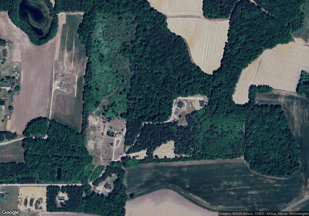
Map
Nearby Homes
- 165 Prency Ln
- 900 Whitley Rd
- 98 Prency Ln
- 70 Prency Ln
- 143 Prency Ln
- 38 Prency Ln
- 85 Prency Ln
- 889 Whitley Rd
- 27 Prency Ln
- 110 Barnes Rd
- 0 Highway 231 Unit Off
- 8428 N Carolina 39
- 174 Arrow Ln
- 6570 N Carolina 231
- 200 Rock River Ln
- 100 Rock River Ln
- 8179 Highway 39
- 6595 N Carolina 231
- 10581 N Carolina 42
- 200 Longbow Dr
- 10330 Nc 222 Hwy W
- 23.75 Acres Nc 222 Hwy
- 10400 Nc 222 Hwy W
- 16.84 Acres Nc 222 Hwy
- 4.38 Acres Nc 222 Hwy
- 10530 Nc 222 Hwy W
- 10466 Nc 222 Hwy W
- 10296 Nc Highway 222
- 10566 Nc 222 Hwy W
- 34 N Daisy Dr
- 10300 Nc 222 Hwy W
- 10308 Nc 222 Hwy W
- 6279 Antioch Church Rd
- 10425 Nc 222 Hwy W
- 10531 Nc 222 Hwy W
- 67 Dixieland Dr Unit 10
- 67 Dixieland Dr
- 37 N Daisy Dr
- 26 N Daisy Dr
- 10290 Nc 222 Hwy W