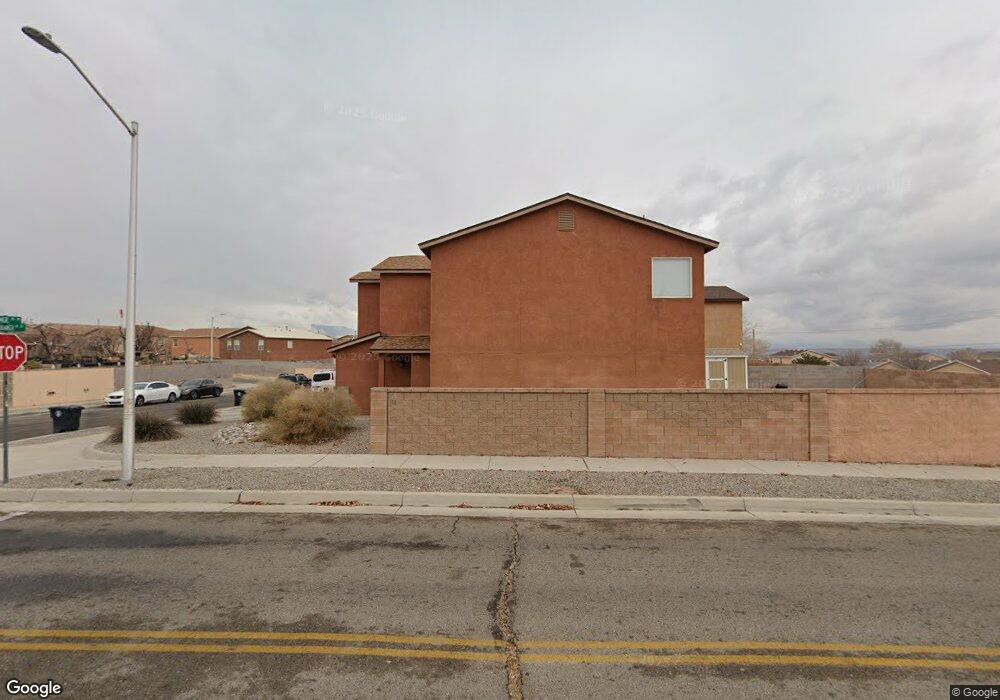
10320 Range Rd SW Albuquerque, NM 87121
Southwest Heights NeighborhoodEstimated Value: $296,000 - $325,000
3
Beds
3
Baths
2,008
Sq Ft
$157/Sq Ft
Est. Value
About This Home
This home is located at 10320 Range Rd SW, Albuquerque, NM 87121 and is currently estimated at $315,502, approximately $157 per square foot. 10320 Range Rd SW is a home located in Bernalillo County with nearby schools including Carlos Rey Elementary School, Atrisco Heritage Academy High School, and Robert F. Kennedy Charter School.
Ownership History
Date
Name
Owned For
Owner Type
Purchase Details
Closed on
Jul 17, 2006
Sold by
Centex Homes
Bought by
Atchison Lawrence E and Atchison Kim M
Current Estimated Value
Home Financials for this Owner
Home Financials are based on the most recent Mortgage that was taken out on this home.
Original Mortgage
$18,300
Interest Rate
5.5%
Mortgage Type
Unknown
Create a Home Valuation Report for This Property
The Home Valuation Report is an in-depth analysis detailing your home's value as well as a comparison with similar homes in the area
Home Values in the Area
Average Home Value in this Area
Purchase History
| Date | Buyer | Sale Price | Title Company |
|---|---|---|---|
| Atchison Lawrence E | -- | Commerce Title Co Of Nm Llc |
Source: Public Records
Mortgage History
| Date | Status | Borrower | Loan Amount |
|---|---|---|---|
| Closed | Atchison Lawrence E | $18,300 | |
| Open | Atchison Lawrence E | $146,800 |
Source: Public Records
Tax History Compared to Growth
Tax History
| Year | Tax Paid | Tax Assessment Tax Assessment Total Assessment is a certain percentage of the fair market value that is determined by local assessors to be the total taxable value of land and additions on the property. | Land | Improvement |
|---|---|---|---|---|
| 2025 | $2,318 | $54,868 | $12,137 | $42,731 |
| 2024 | $2,248 | $53,270 | $11,784 | $41,486 |
| 2023 | $2,210 | $51,719 | $11,441 | $40,278 |
| 2022 | $2,136 | $50,213 | $11,108 | $39,105 |
| 2021 | $2,064 | $48,751 | $10,785 | $37,966 |
| 2020 | $2,030 | $47,332 | $10,471 | $36,861 |
| 2019 | $1,971 | $45,953 | $10,166 | $35,787 |
| 2018 | $1,901 | $45,953 | $10,166 | $35,787 |
| 2017 | $1,842 | $44,615 | $9,870 | $34,745 |
| 2016 | $1,789 | $42,054 | $9,303 | $32,751 |
| 2015 | $40,829 | $40,829 | $9,032 | $31,797 |
| 2014 | $1,749 | $41,195 | $9,032 | $32,163 |
| 2013 | -- | $41,562 | $9,032 | $32,530 |
Source: Public Records
Map
Nearby Homes
- 10416 Gila Gulch Rd SW
- 2408 Sun Gate Trail SW
- 2719 Blue Sky St SW
- 2706 Cantara Ln SW
- 11024 Bowie Rd SW
- 2405 Sorral Way SW
- Plan 3004 - The Sawyer at Aspire
- Plan 3014 - The Sierra at Aspire
- Plan 3013 - The Sophia at Aspire
- 9726 Atrisco Ranch Rd SW
- 9823 Sun Mountain Trail SW
- 10512 Serafina Way SW
- 10532 Serafina Way SW
- 10203 Del Rey Rd SW
- 10517 Tinaja Way SW
- 10529 Tinaja Way SW
- 10513 Tinaja Way SW
- 9808 Morning Sun Trail SW
- 10521 Tinaja Way SW
- 10545 Tinaja Way SW
- 10316 Range Rd SW
- 10312 Range Rd SW
- 10400 Range Rd SW
- 2116 South Branch Dr SW
- 10308 Range Rd SW
- 10404 Range Rd SW
- 2119 South Branch Dr SW
- 2119 S Branch Dr SW
- 10304 Range Rd SW
- 2115 South Branch Dr SW
- 2115 S Branch Dr SW
- 10408 Range Rd SW
- 10408 Gila Gulch Rd SW
- 10400 Gila Gulch Rd SW
- 10420 Gila Gulch Rd SW
- 10405 Sandy Ridge Rd SW
- 10412 Range Rd SW
- 10405 Range Rd SW
- 10401 Sandy Ridge Rd SW