10321 Cherokee Rose Rd Vancleave, MS 39565
Estimated Value: $347,686 - $505,000
--
Bed
3
Baths
2,350
Sq Ft
$170/Sq Ft
Est. Value
About This Home
This home is located at 10321 Cherokee Rose Rd, Vancleave, MS 39565 and is currently estimated at $399,922, approximately $170 per square foot. 10321 Cherokee Rose Rd is a home located in Jackson County with nearby schools including Vancleave Lower Elementary School, Vancleave Upper Elementary School, and Vancleave Middle School.
Ownership History
Date
Name
Owned For
Owner Type
Purchase Details
Closed on
Nov 14, 2018
Sold by
Coleman James and Coleman Jessica
Bought by
Coleman Jessica
Current Estimated Value
Home Financials for this Owner
Home Financials are based on the most recent Mortgage that was taken out on this home.
Original Mortgage
$227,000
Outstanding Balance
$199,601
Interest Rate
4.8%
Mortgage Type
New Conventional
Estimated Equity
$200,321
Create a Home Valuation Report for This Property
The Home Valuation Report is an in-depth analysis detailing your home's value as well as a comparison with similar homes in the area
Home Values in the Area
Average Home Value in this Area
Purchase History
| Date | Buyer | Sale Price | Title Company |
|---|---|---|---|
| Coleman Jessica | -- | -- |
Source: Public Records
Mortgage History
| Date | Status | Borrower | Loan Amount |
|---|---|---|---|
| Open | Coleman Jessica | $227,000 |
Source: Public Records
Tax History Compared to Growth
Tax History
| Year | Tax Paid | Tax Assessment Tax Assessment Total Assessment is a certain percentage of the fair market value that is determined by local assessors to be the total taxable value of land and additions on the property. | Land | Improvement |
|---|---|---|---|---|
| 2024 | $2,372 | $22,264 | $2,189 | $20,075 |
| 2023 | $2,372 | $22,264 | $2,189 | $20,075 |
| 2022 | $3,895 | $33,397 | $3,284 | $30,113 |
| 2021 | $3,958 | $33,949 | $3,284 | $30,665 |
| 2020 | $3,778 | $31,277 | $2,726 | $28,551 |
| 2019 | $3,737 | $31,277 | $2,726 | $28,551 |
| 2018 | $3,811 | $31,284 | $2,733 | $28,551 |
| 2017 | $2,284 | $20,856 | $1,822 | $19,034 |
| 2016 | $2,181 | $20,856 | $1,822 | $19,034 |
| 2015 | $1,882 | $182,470 | $17,210 | $165,260 |
| 2014 | $1,905 | $18,772 | $1,721 | $17,051 |
| 2013 | $1,832 | $18,772 | $1,721 | $17,051 |
Source: Public Records
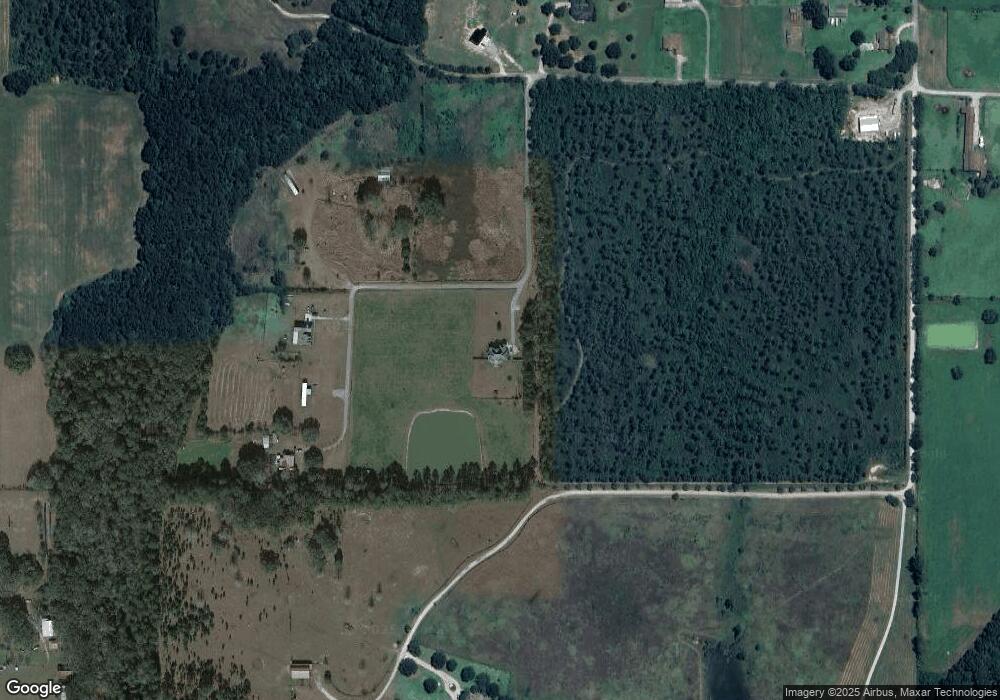
Map
Nearby Homes
- 0 Box Rd
- 10000 Cherokee Rose Rd
- 8236 Stonehaven Dr
- 9108 Box Rd
- 9158 Box Rd
- 00 Humphrey Rd
- 6404 Humphrey Rd
- 0 Old Fort Bayou Rd Unit 4101335
- 6001 Wooded Acres Rd
- 0 Ms 57 Unit 4122608
- 0 Ms 57 Unit 4117591
- 0 Ms-57 Unit 4107638
- 0 Ms-57 Unit 4097649
- 8317 Highway 57
- 6305 Morningside Dr
- 0 N Hwy 57 Unit 4042677
- Tbd Seaman Rd
- 0 Morningside Dr Unit 4120736
- 8301 N Hwy 57
- 13109 Little Bluff Dr
- 10315 Cherokee Rose Rd
- 10305 Cherokee Rose Rd
- 10395 Cherokee Rose Rd Unit DRO
- 10394 Cherokee Rose Rd
- 10005 Cherokee Rose Rd
- 10399 Cherokee Rose Rd
- 10401 Cherokee Rose Rd
- 10397 Cherokee Rose Rd
- 9900 Old Fort Bayou Rd
- 10413 Cherokee Rose Rd
- 10409 Cherokee Rose Rd
- 10500 Cherokee Rose Rd
- 10216 Old Fort Bayou Rd
- 10200 Cherokee Rose Rd
- 10332 Old Fort Bayou Rd
- 10408 Old Fort Bayou Rd
- 10324 Old Fort Bayou Rd
- 8009 Stonehaven Rd Unit DRO
- 10613 Cherokee Rose Rd
- 10212 Old Fort Bayou Rd Unit DRO