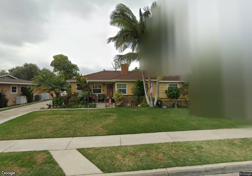
10321 Cullman Ave Whittier, CA 90603
South Whittier NeighborhoodEstimated Value: $907,820 - $1,094,000
4
Beds
2
Baths
1,575
Sq Ft
$621/Sq Ft
Est. Value
About This Home
This home is located at 10321 Cullman Ave, Whittier, CA 90603 and is currently estimated at $977,455, approximately $620 per square foot. 10321 Cullman Ave is a home located in Los Angeles County with nearby schools including Macy Elementary School, Rancho-Starbuck Intermediate School, and La Habra High School.
Ownership History
Date
Name
Owned For
Owner Type
Purchase Details
Closed on
Jan 17, 2012
Sold by
Deorta Jose and De Orta Rocio
Bought by
Deorta Rocio and Deorta Jose
Current Estimated Value
Home Financials for this Owner
Home Financials are based on the most recent Mortgage that was taken out on this home.
Original Mortgage
$324,000
Outstanding Balance
$37,122
Interest Rate
3.93%
Mortgage Type
New Conventional
Estimated Equity
$940,333
Purchase Details
Closed on
Oct 22, 2002
Sold by
White Alice L and The Alice L White Family Trust
Bought by
Deorta Jose and Deorta Rocio
Home Financials for this Owner
Home Financials are based on the most recent Mortgage that was taken out on this home.
Original Mortgage
$350,910
Interest Rate
6.28%
Create a Home Valuation Report for This Property
The Home Valuation Report is an in-depth analysis detailing your home's value as well as a comparison with similar homes in the area
Home Values in the Area
Average Home Value in this Area
Purchase History
| Date | Buyer | Sale Price | Title Company |
|---|---|---|---|
| Deorta Rocio | -- | Calcounties Title Nation | |
| Deorta Jose | $390,000 | Fidelity National Title |
Source: Public Records
Mortgage History
| Date | Status | Borrower | Loan Amount |
|---|---|---|---|
| Open | Deorta Rocio | $324,000 | |
| Closed | Deorta Jose | $350,910 |
Source: Public Records
Tax History Compared to Growth
Tax History
| Year | Tax Paid | Tax Assessment Tax Assessment Total Assessment is a certain percentage of the fair market value that is determined by local assessors to be the total taxable value of land and additions on the property. | Land | Improvement |
|---|---|---|---|---|
| 2025 | $6,665 | $564,823 | $348,455 | $216,368 |
| 2024 | $6,665 | $553,749 | $341,623 | $212,126 |
| 2023 | $6,612 | $542,892 | $334,925 | $207,967 |
| 2022 | $6,480 | $532,248 | $328,358 | $203,890 |
| 2021 | $6,357 | $521,813 | $321,920 | $199,893 |
| 2020 | $6,323 | $516,464 | $318,620 | $197,844 |
| 2019 | $6,171 | $506,338 | $312,373 | $193,965 |
| 2018 | $5,806 | $496,411 | $306,249 | $190,162 |
| 2016 | $5,553 | $477,137 | $294,358 | $182,779 |
| 2015 | $5,394 | $469,971 | $289,937 | $180,034 |
| 2014 | $5,282 | $460,766 | $284,258 | $176,508 |
Source: Public Records
Map
Nearby Homes
- 10418 Bogardus Ave Unit 4
- 10303 Pounds Ave
- 16046 Gables Loop
- 15975 Graceldo Ln
- 16164 Leffco Rd
- 16121 Lisco St
- 16540 Whittier Blvd
- 1436 La Riata Dr
- 0 Cloister Dr Unit OC24116252
- 2401 Canfield Dr
- 16635 Monte Oro Dr
- 10931 Groveside Ave
- 2311 Canfield Dr
- 10930 Groveland Ave
- 2611 Gregory Ln
- 1525 Bonnie Jean Ln
- 15914 Lashburn St
- 15850 Arbela Dr
- 9331 Mikinda Ave
- 16428 Whittier Blvd Unit 2
- 10327 Cullman Ave
- 10318 Bogardus Ave
- 10313 Cullman Ave
- 10326 Bogardus Ave
- 10310 Bogardus Ave
- 10333 Cullman Ave
- 10318 Cullman Ave
- 10326 Cullman Ave
- 10310 Cullman Ave
- 10332 Bogardus Ave
- 10304 Bogardus Ave
- 10334 Cullman Ave
- 10302 Cullman Ave
- 10341 Cullman Ave
- 10340 Bogardus Ave
- 16160 Caruthers St
- 10321 Newcomb Ave
- 10311 Newcomb Ave
- 10327 Newcomb Ave
- 10340 Cullman Ave